Wednesday, August 24, 2022

Camping New England (and New York...)

Oh my...there actually IS dispersed car camping in New England!

Green Mountain National Forest: https://www.fs.usda.gov/Internet/FSE_MEDIA/stelprdb5318739.pdf

Unexpected...New York is far more generous with dispersed car camping, as long as you use designated sites:

From this excellent Reddit reply:

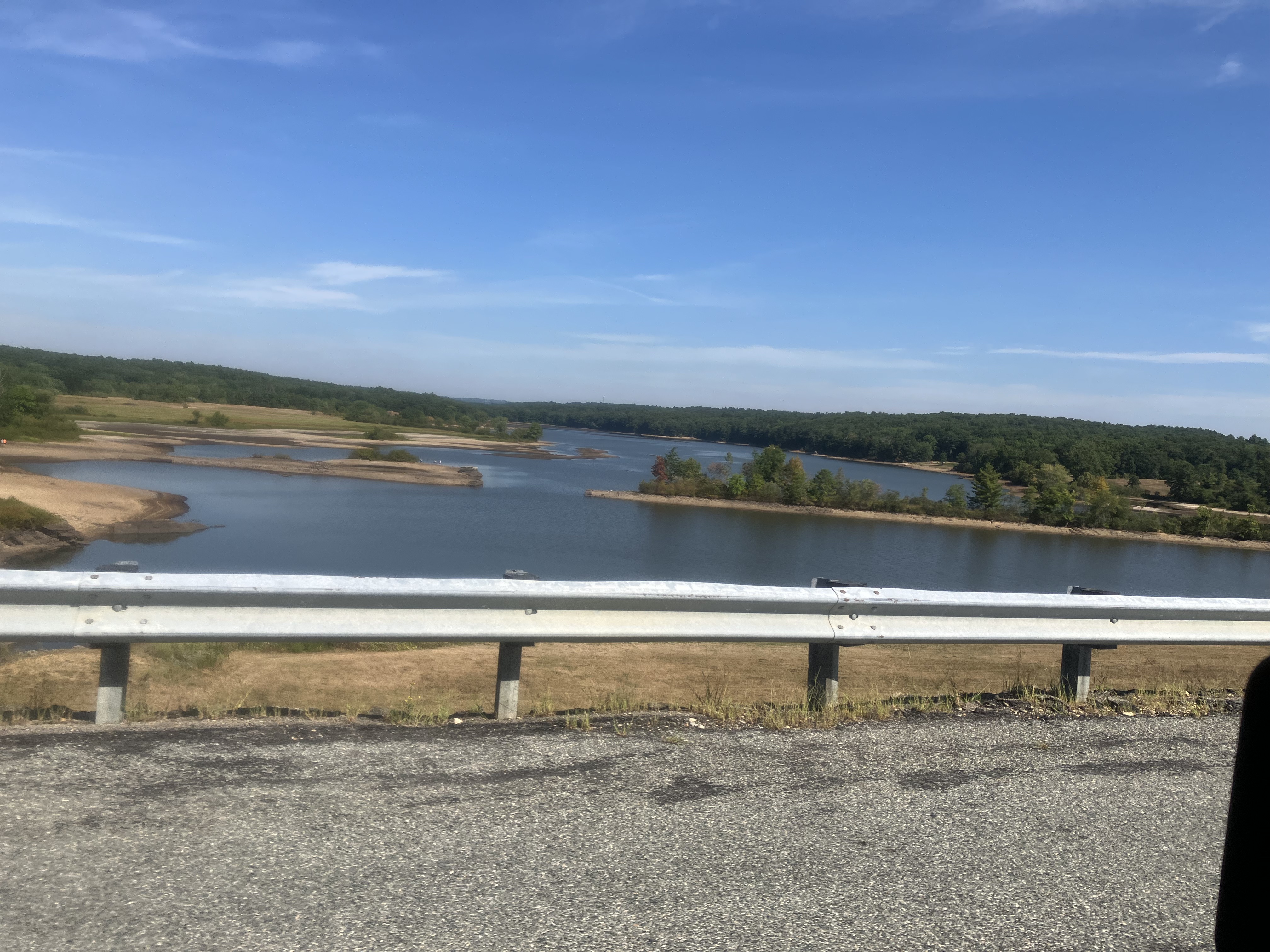
Yes, it is possible. There's plenty of free, first-come, first-serve roadside campsites across the Adirondack Park. The best place to do this, as recommended by /u/Drizzle11M, is the Moose River Plains complex- there's 100+ free designated roadside campsites spread throughout miles and miles of old logging roads through a remote area.

Some other options include the following. This is a lengthy list but it is far from complete:
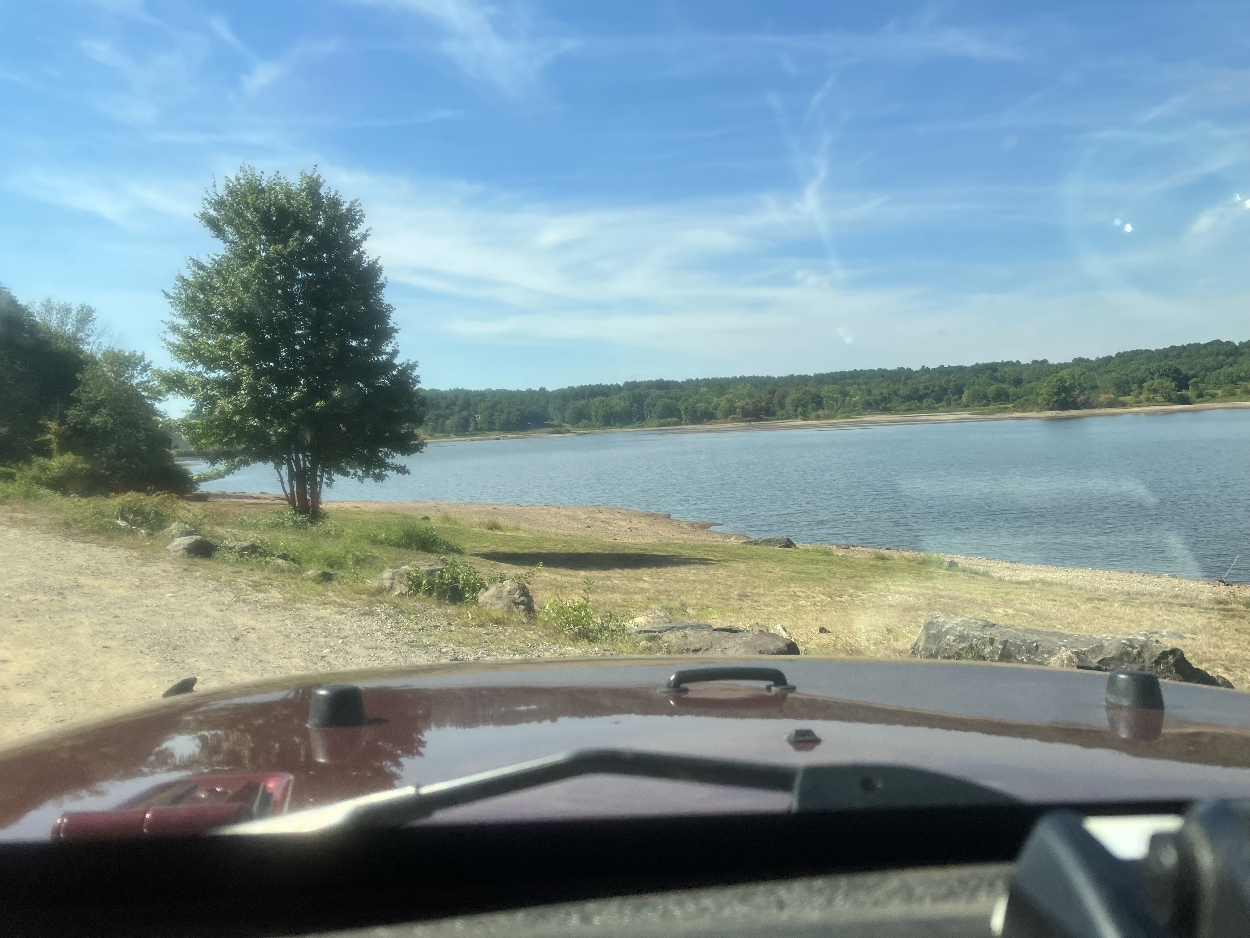
Jones Pond, in the northern ADKs, has about a half dozen or so designated tent sites that are either car accessible or a short walk from the road.

Mountain Pond, in the northern ADKs, has a few designated tent sites just off the road.
Slush Pond Road, in the northern ADKs has a number of car accessible designated sites.
The Lake Kushaqua area in the northern ADKs has a couple of roadside/close to roadside designated sites.
Floodwood Road, in the Saranac Lake area, has a number of designated roadside tent sites.
South Meadows Road, just off the road to the Adirondak Loj, has about a dozen or so designated roadside sites (plus a few more than are a short walk off the road). However, fires are prohibited here and bear canisters are required (see more on this below). There's a small number of roadside/close to roadside sites near the junction of Routes 9 and 73 in St. Huberts. Nearby, Chapel Pond also has a couple of roadside/close to roadside sites. (Note that bear canisters will be required at some of these sites in the near future- see more on this below.)
In the Western High Peaks, Coreys Road has a bunch of designated roadside sites.
Dacy Clearing Road, near Lake George, has a number of roadside designated sites.
The Hudson River Recreation Area, near Warrensburg, has a number of roadside designated sites.
There's a bunch of roadside/close to roadside designated sites along Route 8, adjacent to the East Branch Sacandaga River and along the southern boundary of the Siamese Ponds Wilderness.
There are plans to add about 10 or so roadside/close to roadside sites on the road into Boreas Ponds, on the south side of the High Peaks Wilderness.
The road to the Deer Pond access for the Essex Chain from Newcomb has 6 roadside/close to roadside designated sites.
Both Moose Pond Way and Northwoods Club Road in the central ADKs have a number of roadside designated tent sites.
Mason Lake, just south of Lewey Lake in the central ADKs has about a half dozen or so roadside designated sites.
There's a number of roadside designated sites along West River Road in Wells, in the southern ADKs.
Powley-Piseco Road in the southern ADKs also has a bunch of roadside designated sites.
I believe there's a few roadside designate sites at North Lake, on the North Lake Tract Easement in the southwestern ADKs. Moss Lake, near Old Forge, has a bunch of designated tent sites- some are quite close to the parking lot at the trailhead. Horseshoe Lake, near Tupper Lake in the northwest ADKs has a bunch of designated roadside tent sites.
There's a number of roadside designated tent sites along Bear Pond Road and Number 1 Road in the Watson's East Triangle Wild Forest, in the northwest ADKs.
However, a few things to be aware of:
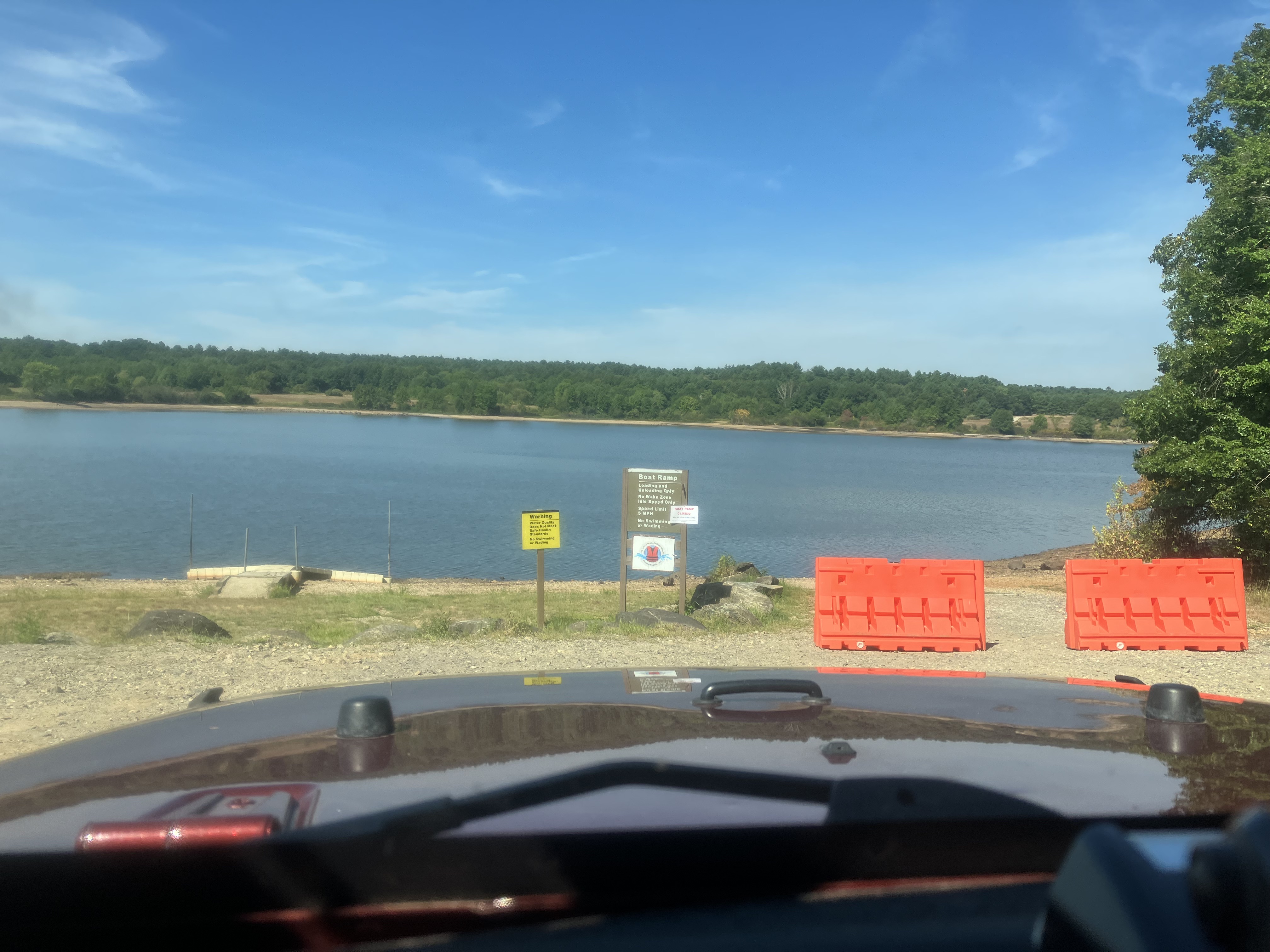
Make sure you know and understand the so called "150 foot rule." In the ADKs, camping is restricted within 150 feet of any roads, trails, or water bodies- within these buffers, you can only camp at officially designated sites. This means that you can't just pull over the side of the road at any and every spot you think looks nice and set up a car camp- it has to be a designated site. Officially designated sites are marked with a yellow plastic disc that says "Camp Here." Adhering to this regulation is super important as it helps to minimize adverse impacts on backcountry resources.
When dispersed camping in the ADKs, you are limited to a maximum group size of 9 people (8 people in some areas). You're also limited to a maximum length of stay at any campsite of 3 consecutive nights. For some areas, you can get a permit from the DEC for a larger group and/or a longer lengthy of stay (you'd want to contact the DEC several weeks in advance of your trip to ask about getting a permit). Some areas of the ADKs- including areas with roadside campsites- don't allow fires, and/or require the use of bear canisters for overnight food storage. Realistically, no ranger is going to hassle you for not having a bear canister provided that your food is stored out of sight in your vehicle, but you do need to be extra careful with food in these areas nonetheless. And the fire bans were implemented due to years of illegal tree cutting by campers and it's really important to abide by the ban- these areas get so much use that there literally is not enough dead and downed wood to sustain campfires by all users. (The Moose River Plains does not have either of these regulations.)
Many of the options for dispersed car camping in the ADKs are on seasonal dirt roads. In a normal season, most of these roads are open by late May- but after a particularly long winter, some may not open until sometime in June. So if you're planning on an early season trip, you'll need to do some careful research on road closures. (Also, be aware that the Moose River Plains has a regulation requiring either 4WD or tire chains for any vehicle entering the area after Columbus Day.) Opportunities for free roadside camping in the ADKs tend to be popular- and many of these areas do fill up every Thursday/Friday during the warmer months as weekend users make their way into the ADKs. It's worth trying to get a jump on the weekend if you want a solid chance at securing a nice site for yourself. Even the Moose River Plains, with it's 100+ sites, filled to capacity a few times last summer. And even with an early arrival, definitely have some backup plans in mind for if/when every site in a specific area is already occupied.
Haven't found a good list like that, but did find that the Catskills follow the same "Yellow Disk" designated camping site system :)

Sunday, August 21, 2022

Jeep Trailer

So...I did a thing.

Picked up a 1967 Stevens M416 trailer.

To be named Going Places (Jeep is waiting for the "Been Places" hood decals).

It is going to be a long term project, and it won't be super fancy.

I want some sort of lockable cover. May end up making it from wood since I can do that myself. Maybe the wood would be a prototype for eventually aluminum diamond plate? Seems like there are a lot of good welders who are bad businessman and/or get overwhelmed when a weekend hobby gets too many orders for commercially produced lids...so I can't find one to order :/

Either swap the axle or get hub adapters so I can run the same wheels I do on the Jeep. That simplifies spare tire issues. Probably leave the track as narrow as possible; may require new fenders to cover the wider tires or some sort of mud flaps?

Switch it from the Pintle hitch to a lock-n-roll hitch.

I think that's the major stuff and see how it goes from there.

Not even sure I'd bother using it if I do a trip out west next year. But I need something to dream about, and if I manage to retire and go on a three month trip it'll make a really good base camp.

It was in condition I could've towed it home, but I felt safer to doing a new-to-me trailer on my utility trailer. The M46 is 60-1/2" fender to fender, my trailer is 61-1/8" wide :D so since it would fit might was well use it. Had to haul it home from Middleborough, MA -- back roads would have been an excruiatingly long ride through a lot of small cities like Taunton, Attleboro, and Smithfield all at the height of Saturday morning everyone running errands traffic. The ride home via 495/95/295 was made enough at 90 minutes.


Spec dimensions:


Lid:

I will probably do this, as I have the skills to work in wood, plus would kind of suck to have something metal fabricated and decide I want to change it.

Instead of the tent like this guys did in the thread, I'd probably just put some tie downs and Thule roof rack in case I want an external load.


I also like a lot his extended tongue.

https://expeditionportal.com/forum/threads/m416-build-up.215238/

Wheel Adapters:

https://www.uswheeladapters.com/shop/m416-to-jk-wheel-adapters/
(I suspect this will also requiring re-locating the axle to under the springs which probably means new shocks. Fenders should also be wider...)


Stuff to convert from Pintle to Lock-n-Roll, plus tongue extension, available from these guys:

https://compactcampingstore.com/products/m416-trailer-receiver-tube-tongue-retrofit-kit

Tongue Jack:

This may be a bit of overkill, but looking for a large wheel to help manuever on dirt, stone driveway:

https://www.etrailer.com/Trailer-Jack/Ark/ARK57FR.html


And finally (?) a roof rack -- can probably re-use the Thule bars from the Volvo & black Fusion :) Why? Eh, why not? Gives options if I need to carry something oddball? I hope I never need to actually add a roof top carrier to the storage already in the trailer...


The tongue tool box would be handy too...


I really like this tongue set up...but it would require extensive fabricating and welding since it replaces the whole original front:


Kind of liking both the Harbor Freight tongue box (though looking on line the Tractor Supply version looks better made...) and the jerry can mounts. Although I don't think I'll need the side mounts, I like the use of square tube. Makes me think even without a welder I could just bolt through the tub using square tube as a spacer if I do need side mount of something.

From Facebook


Possible containers for inside it:

https://www.homedepot.com/p/Husky-30-Gal-Professional-Duty-Waterproof-Storage-Container-with-Hinged-Lid-in-Red-252246/317446011?

Of course it is discontinued...for roof top tent style I've seen that would work with my bad knees, and give me an annex directly accessbile from the sleeping area so I could use a chair in the rain or setup the portable toilet. Oz Trail (Oztrail?) Outer Ridge 375 Offroad.

From Facebook

Of drought and sockets...

It's a bit dry out there...


West Thompson is probably historically low and dropping 1.5" per day or so.

I believe the rainfall is based on a October-to-October year? Not exactly sure but I don't believe they use a calendar year for their reservoir management.


Mashamoquet Brook at Pomfret Landing:


West Thompson Dam:


Um, I'm not in Utah...why is this looking like Lake Powell!?

Swung by last Sunday and the ramp was still open.


Not drought related, just kind of a cool building in North Grosvenordale by Red Bridge Road.


And a cool barn I saw, don't normally drive this direction on the rare times I drive this road. Was headed to get sweet corn at Blackmer's farm.


Coming through Putnam...forgot it was car show day, and sweet Jesus I didn't realize how big it is now. My pictures don't do it justice.


Shoulder has really been bothering my since PT on Wednesday, like really bothering. I've been doing some dishes and laundry this afternoon.

But I also put the sockets I keep in the Jeep on some fairly inexpensive rails I found on Amazon. Took my Dremel tool and cut them in half so they would fit in my bags.

I probably can clean up the sockets more if I wanted. Do I really need a 9/16" 1/4" drive? Or both six point and twelve point sockets for many of the 3/8" drive SAEs?


Thursday, August 18, 2022

Sigh...

This Springbar tent...why yes, that IS a woodstove chimney sticking out from it:


Oh and good news -- I had seen on the website the son-of-owner who had taken over in the 1990s. He had to be around 70, and I was wondering if there was any sucession plan when he retired. Just found a 2022 article that the company has indeed passed to new ownership:

Their names were Pace Measom and Jordan Nielsen, and I arranged to interview them by phone two days later. “We’re not preppers,” Measom hastened to point out when we started talking. A couple years ago, he explained, he and three partners, including Nielsen, bought an old-school canvas tent company called Springbar, which had been quietly operating in Salt Lake City since 1961.


https://www.outsideonline.com/outdoor-gear/camping/springbar-canvas-tents/ And this trailer (from https://www.flickr.com/photos/thecarlsonfamily/7052385253/ ):

Monday, August 15, 2022

Dagnabit, I wasn't even looking for campers...


(Adding: Although I get enamored by trailers, I keep reminding myself you can get an awful lot of hotel rooms for what the payments are plus there isn't that many free sites for them and once you start paying that's a good $30-50/day at most places on top of the taxes, registration, insurance, and payments...)

I honestly can't remember what brought this up tonight, an ad on Facebook maybe?


Needing to confirm, but 11,000BTU A/C probably can run comfortably on a 1600w genset but would benefit from a "soft starter:"

https://www.microair.net/products/easystart-364-3-ton-single-phase-soft-starter-for-air-conditioners


Ah! It was FB...fuckers were trying to get me to rent one:

Shenandoah Valley & Civil War

Driving around the valley, I came to realize first how much of the Civil War was fought in a relatively small area -- and how much could have been observed from critical mountain tops. As soon as I saw what are literally called "Pennsylvania Barns" -- those with the 8' or so overhanging forebay -- I knew a lot of settlers came up the valley from the north. Being the unusual north running river, it is odd thinking of going up south!

The geography created a more culturally mixed area. Eastern Virginia rivers encourage east-west settlement up until they hit the Blue Ridge. Settlement moves faster north-south once folks cross the Blue Ridge and enter the Valley and Ridge province. At that point they also started mixing with German and Scotch-Irish settlers moving up the valley from Pennsylvania. The Shenandoah Valley offered a ready way to move northeastward to cross the Potomac. Forces could then move southeast along Potomac towards Washington, or continue up the major valley of the Valley and Ridge geologic province to Harrisburg on the Susqehana.

The Shenandoah follows the largest valley of the Valley and Ridge geologic province. This province has many valleys and ridges running southwest to northeast (though they turn strong easterward at the northernmost portion). To the east, many large rivers make north-to-south travel more difficult. The Shenandoah Valley provides easy movement along it south of the Potomac, and north of Potomac similar geography prevails making easy travel towards Harrisburg. Moving westward in the province requires crossing frequent ridges.


A few maps showing the east-west rivers east of the Blue Ridge Mountains in Virginia and South Mountain in Maryland/Pennsylvania north of the Potomac.
The Shenandoah Valley became an interesting mixing ground. German settlers first moved up the valley from the north from Pennsylvania. Scotch-Irish meanwhile moved from the coast and down the valley from the southwest.

Despite the reputation for being the breadbasket of the Confederacy and the profeciency of Stonewall Jackson's brigade recruited from the Shenandoah Valley, I wonder if sometimes that was a bit of propaganada overstating support to help shore up the south's support within the valley. There was definitely support; stronger further south in the valley, and with a strong "outpost" of Virginia plantation culture in the Strasburg-Front Royale area (exmeplified by Belle Grove plantation). The support waned to the north where the northernmost counties went with West Virginia as did the counties to the west of the valley. I'd be interested to know how much of the Scotch-Irish settlement of West Virginia came from Pennsylvania rather than South Carolina direction; and how the interaction of the groups coming from north and south shaped future local sentiments.

In any case, the valley was right on the edge of support for secession -- West Virginia and Kentucky staying in the Union, with East Tennessee having voted to stay in the Union roughly 2:1 (outnumbered by Middle & West Tennessee with voted basically same ratio in the opposite direction).

I'm not actually sure how this "vote" map was calculated; I don't think there were plebiscites but instead it likely is the districts represented by state legislators who voted for or against. But it is helpful to show how widespread support was in different areas.
Cool relief map showing Massanutten Mountain in the middle of the Shenandoah. Page Valley is a sub-valley within the larger valley.


By Hlj - Own work, CC BY-SA 4.0, https://commons.wikimedia.org/w/index.php?curid=99368987

By Hlj - Own work, CC BY-SA 4.0, https://commons.wikimedia.org/w/index.php?curid=99368985
By Hlj - Own work, CC BY-SA 4.0, https://commons.wikimedia.org/w/index.php?curid=99264603
By Hal Jespersen at en.wikipedia - http://www.posix.com/CWmaps/Maryland_Campaign.png, Public Domain, https://commons.wikimedia.org/w/index.php?curid=2000665
Gettysburg -- using the cover of the Blue Ridge (for the lower Shenandoah Valley portion) and South Mountain on the march north.


Overland Campaign, May-June 1864 showing the numerous river crossings needed in eastern Virginia working to outflank Richmond.


May-July 1864, the Confederates trying to punch back via the Shenandoah Valley with raids in the north including Washington in hopes of relieving pressure on Richmond.

By Map by Hal Jespersen, www.cwmaps.com, CC BY 3.0, https://commons.wikimedia.org/w/index.php?curid=17649285