Saturday, June 20, 2020

Sunday -- Monroe, Savoy, Hawley, Hatfield, and vicinity

After the "five day weekend" I took, and did a lot of work around the house and on the Jeep, my knee swelled up like a grapefruit all week. The club run to New Hampshire on Saturday it actually felt better at the end of the day then the beginning. Since I wasn't going to put weight on it anyway, figured I'd take another ride to the Berkshires rather than lay around the house.

I suspect driving in the Jeep helps -- seat is at a good angle to support it, working the gas pedal is enough movement to exercise it without having weight on it.

(As I type this up the following Saturday, knees are doing really well and back to at least my recent baseline)

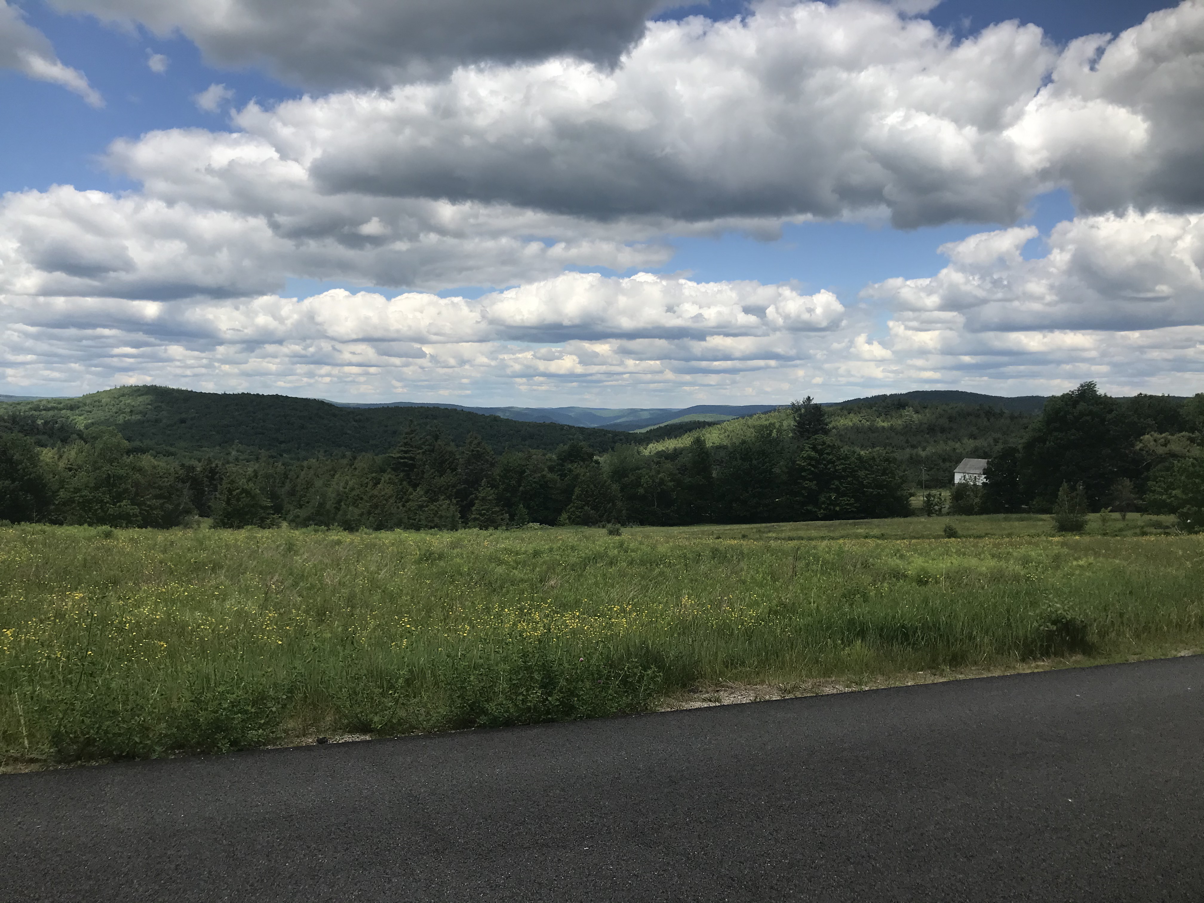
Monroe State Forest...I have some awesome pics from a scenic lookout on my good camera to download still:


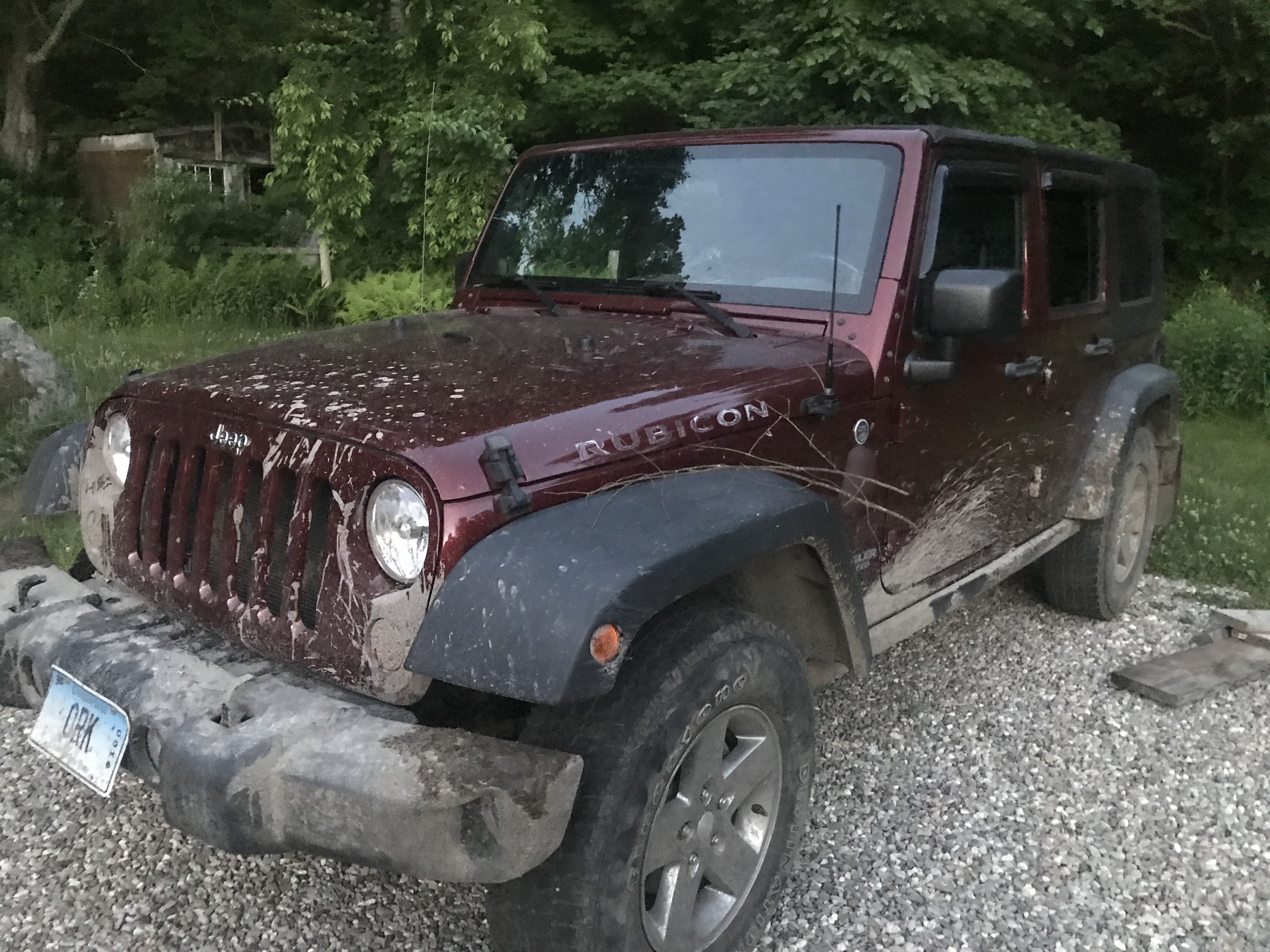
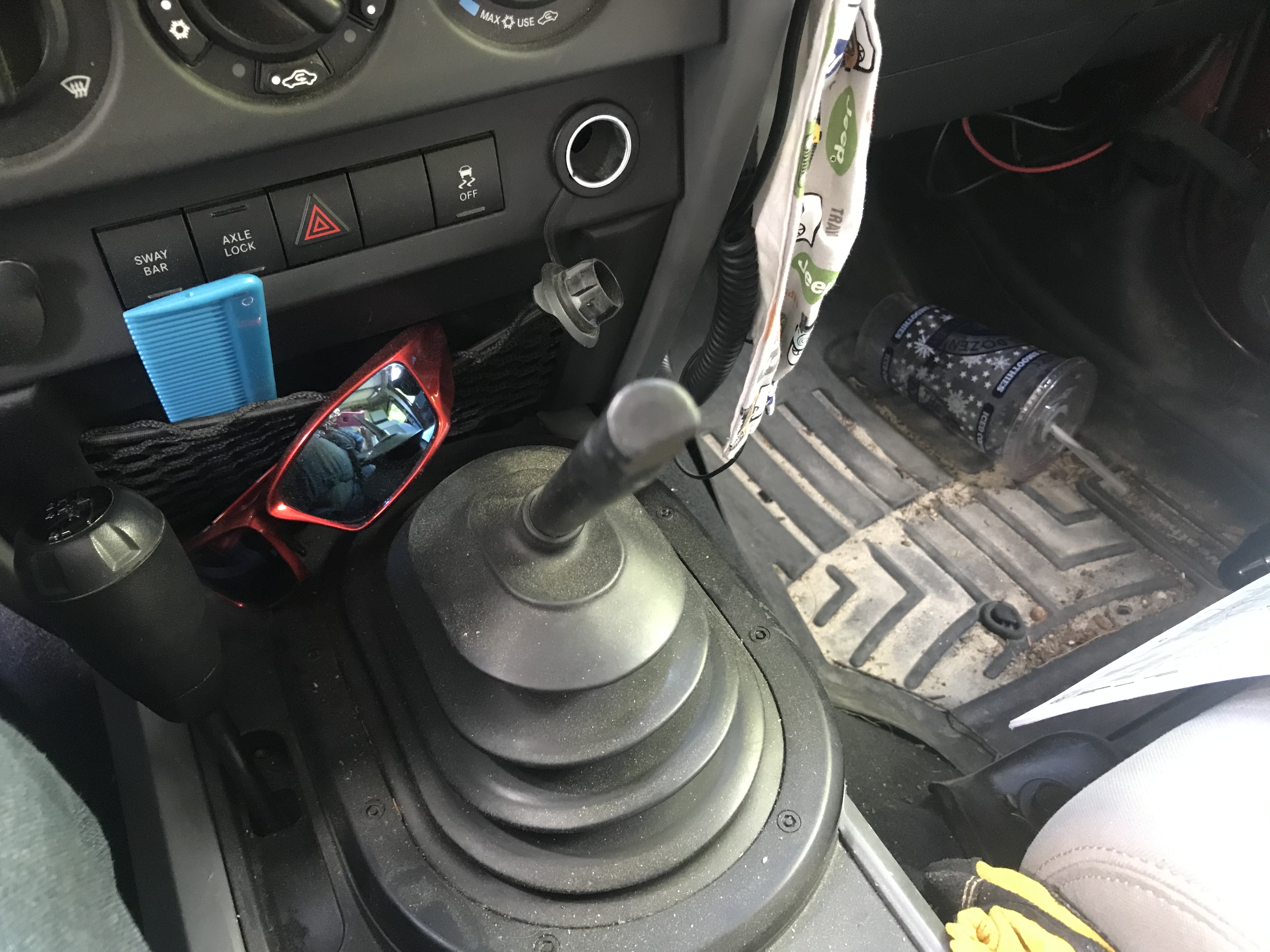
Well shit...the knob was feeling loose the ride up and all of sudden it isn't attached while I was shifting going uphill :D. Threw it on the seat, worked my way to the side of the road to put it back on.

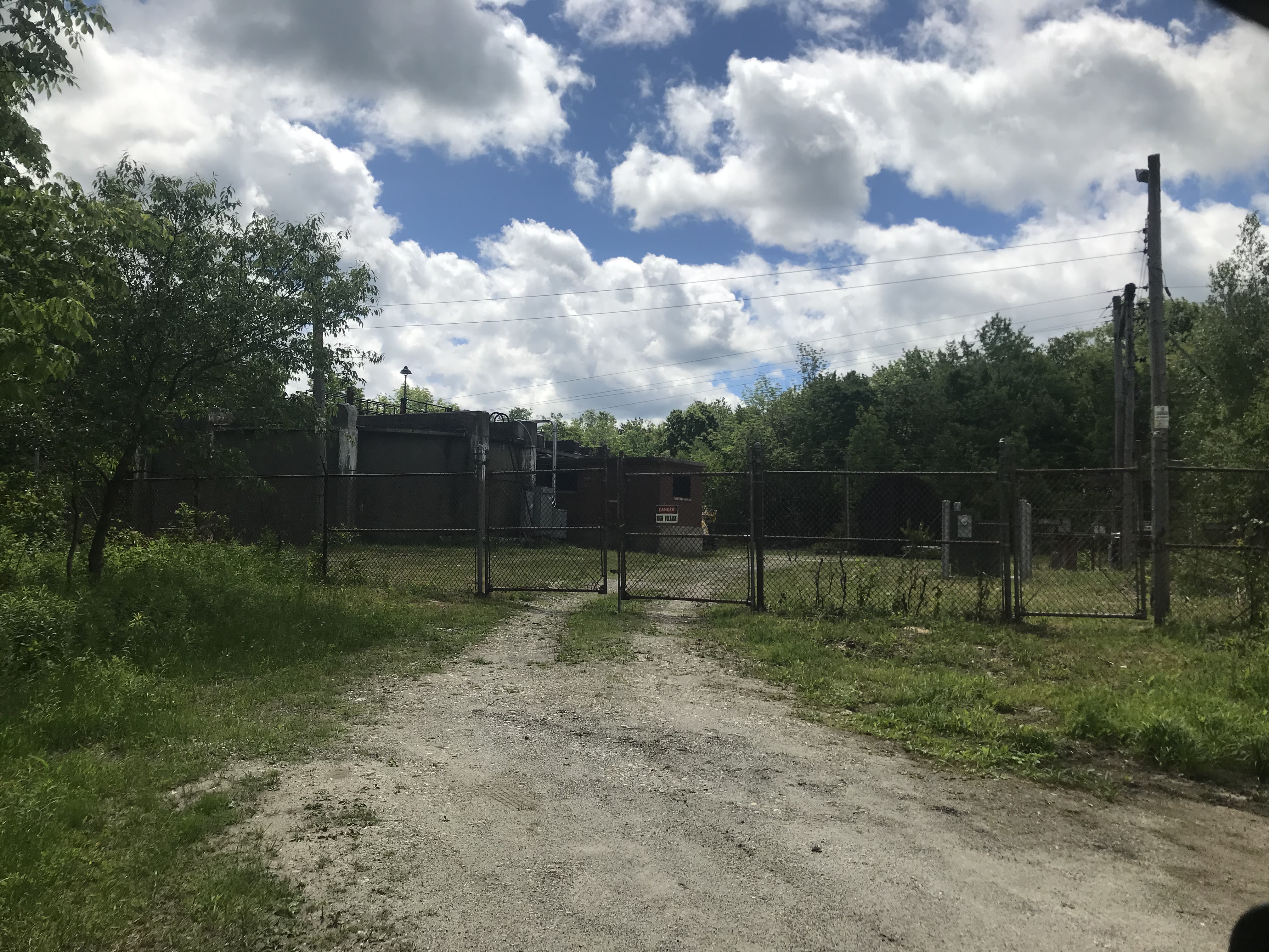
Central Shaft -- the 5 mile long Hoosac Tunnel is 1,000' beneath me at this point. While it took many decades of starts and stops to complete, they conceived of the tunnel in 1848 o_O :


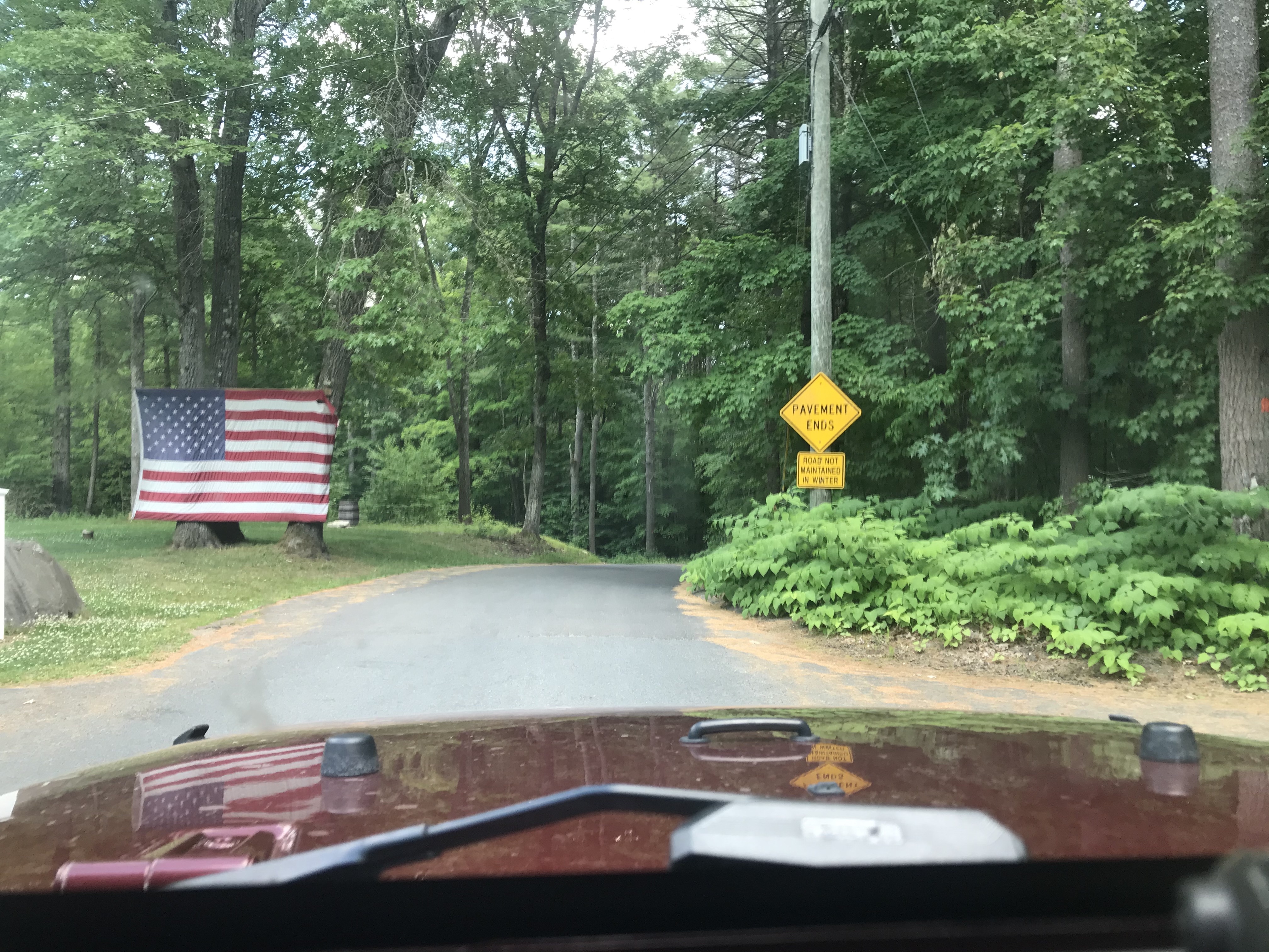
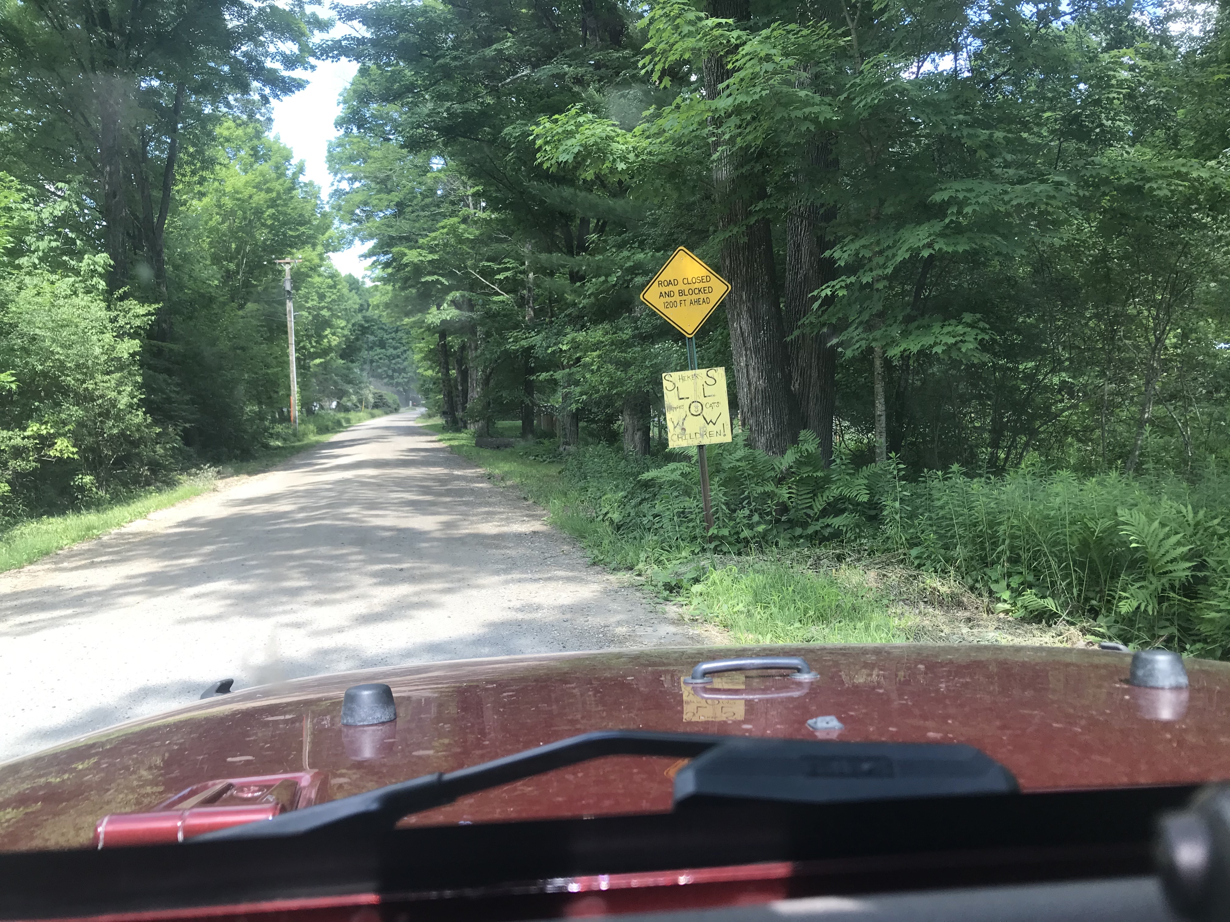
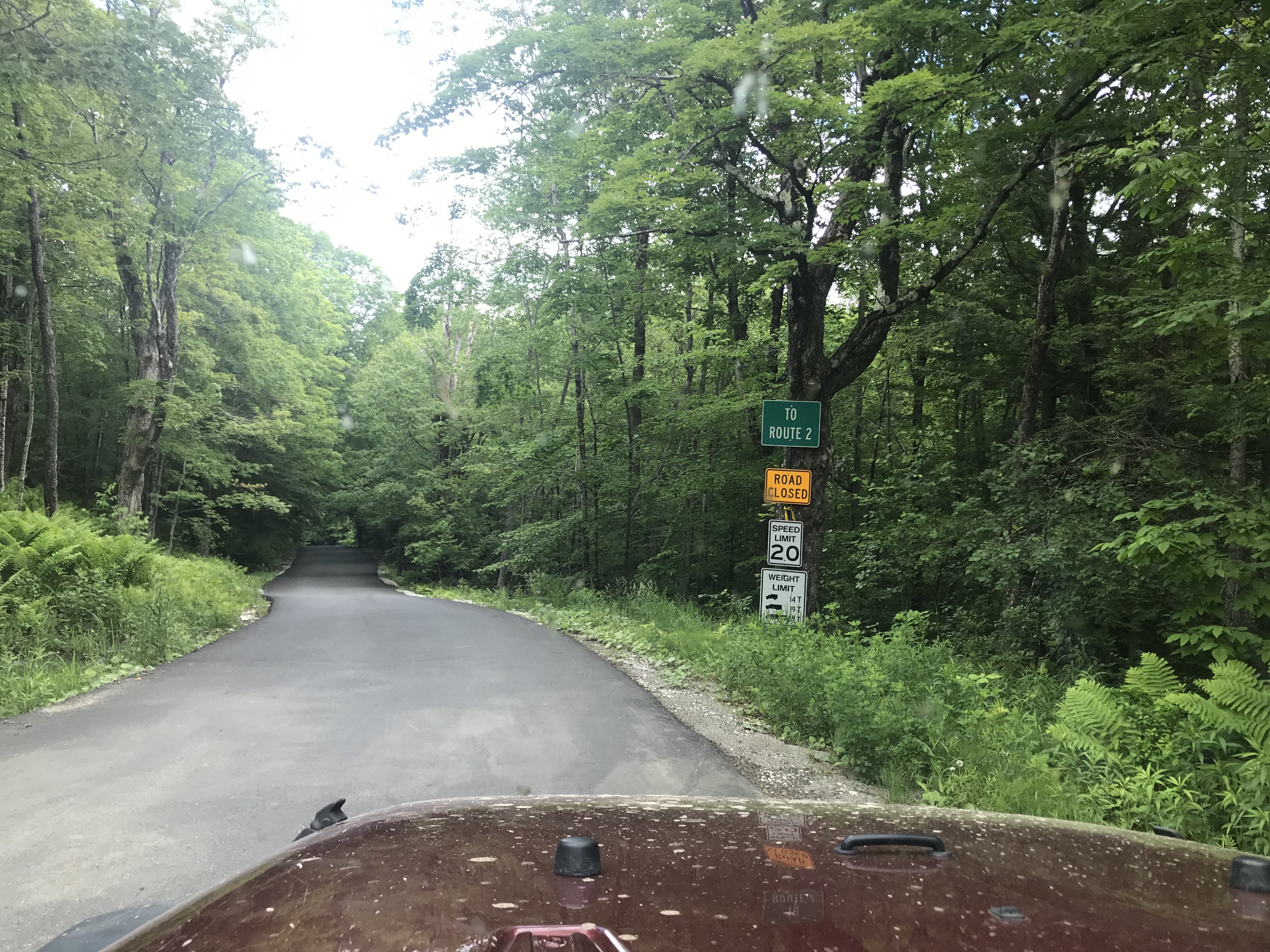
Nice, freshly paved road (and a brand new bridge later on) that is the way to Route 2...and closed :/ (Road was in great shape the whole length)

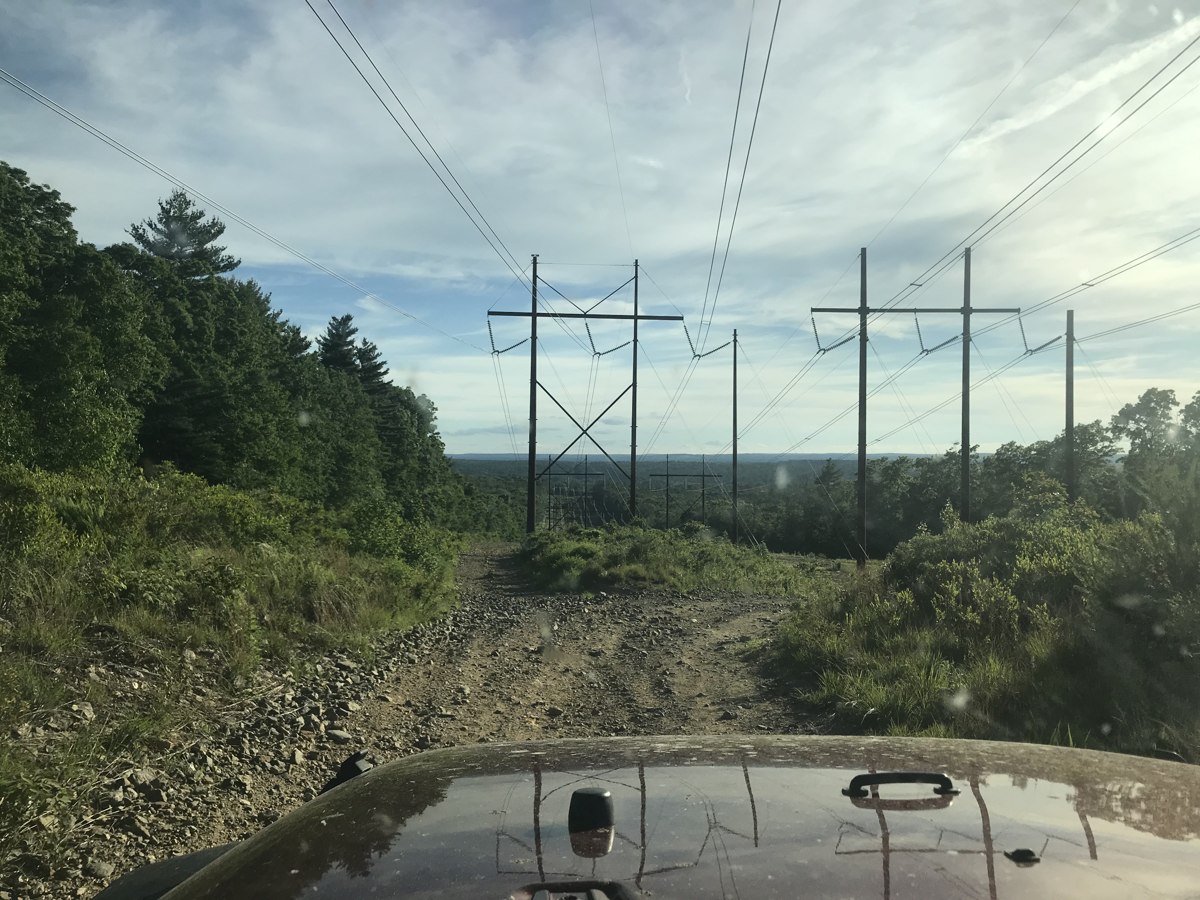
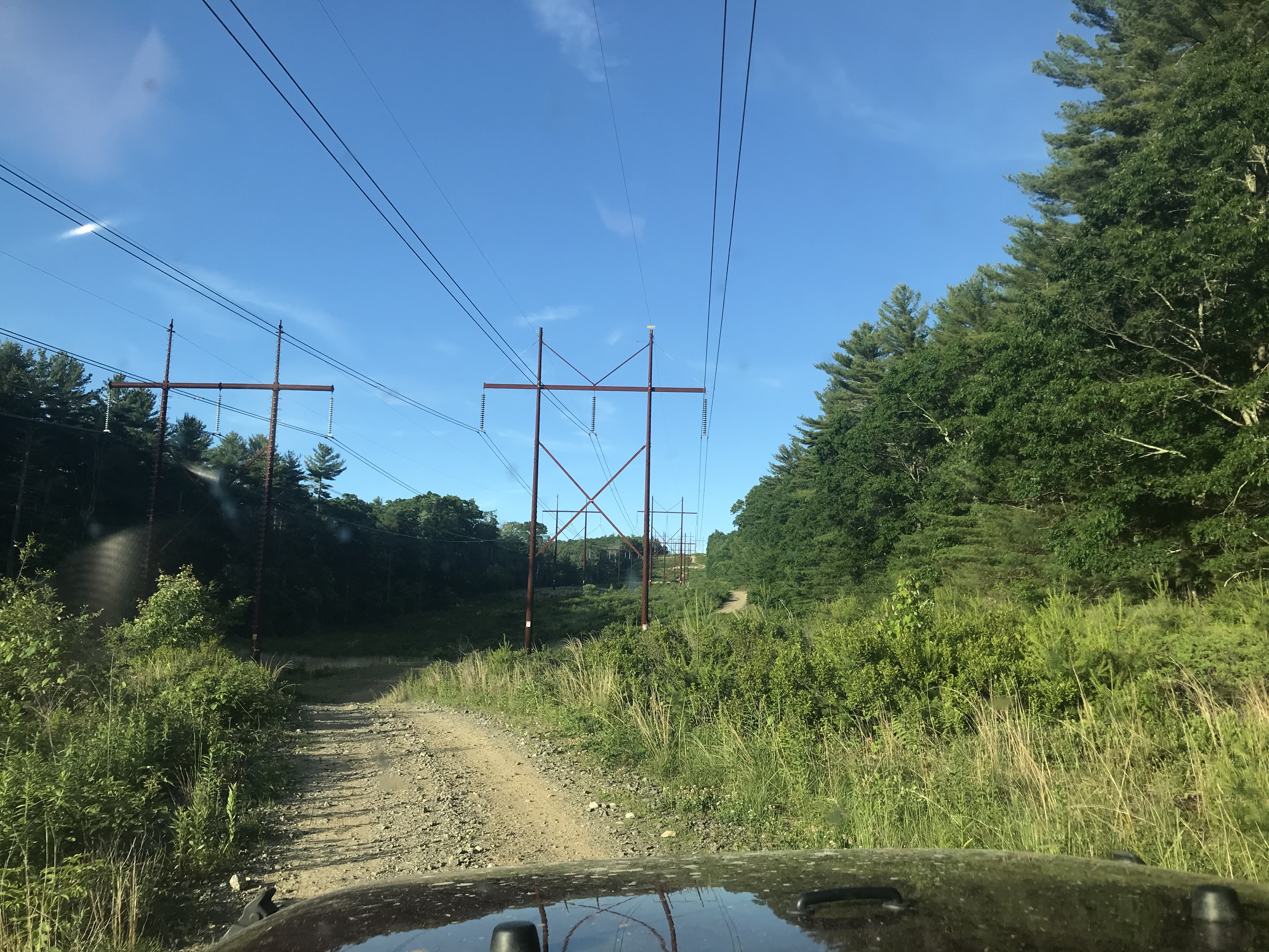
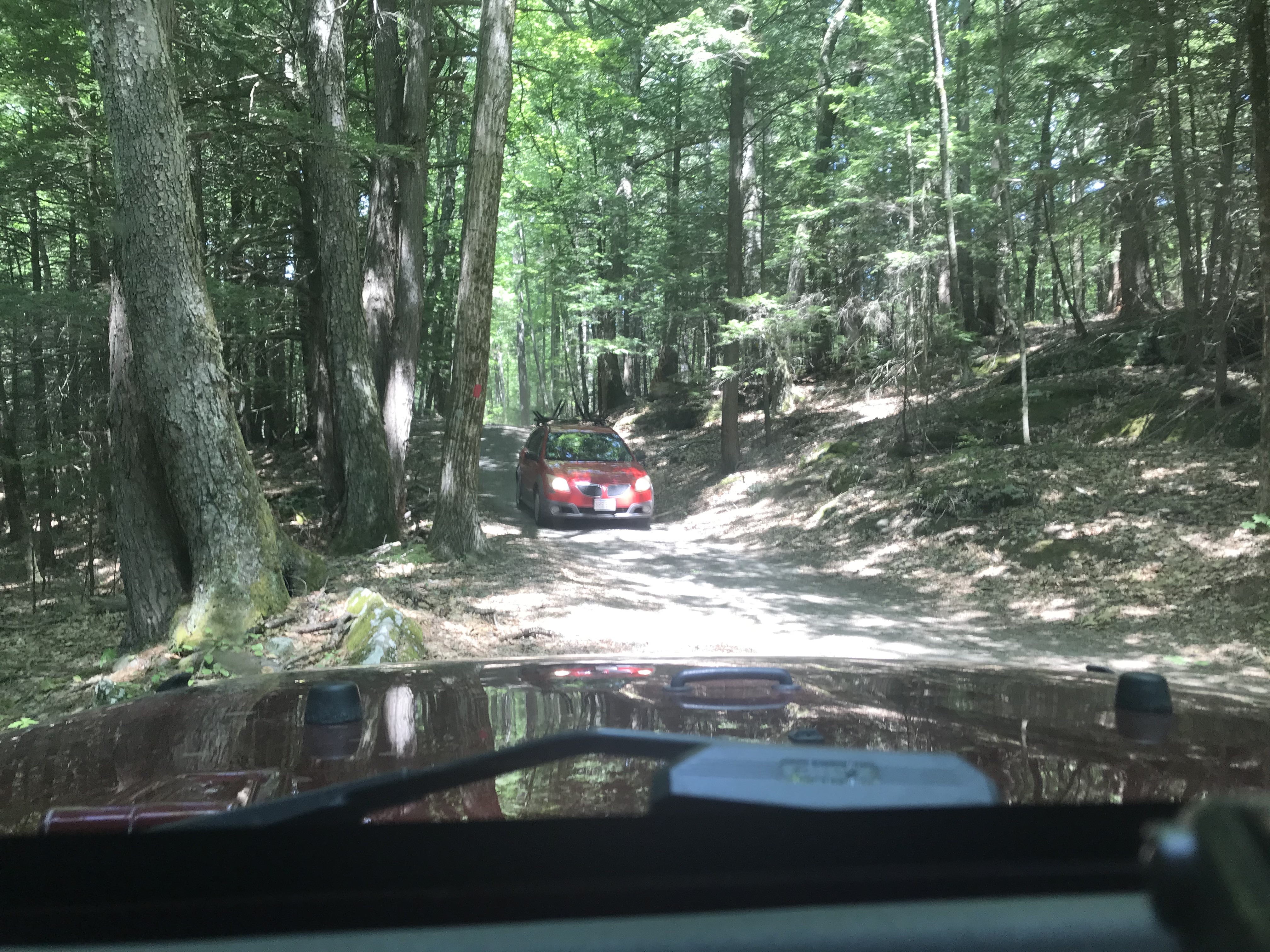
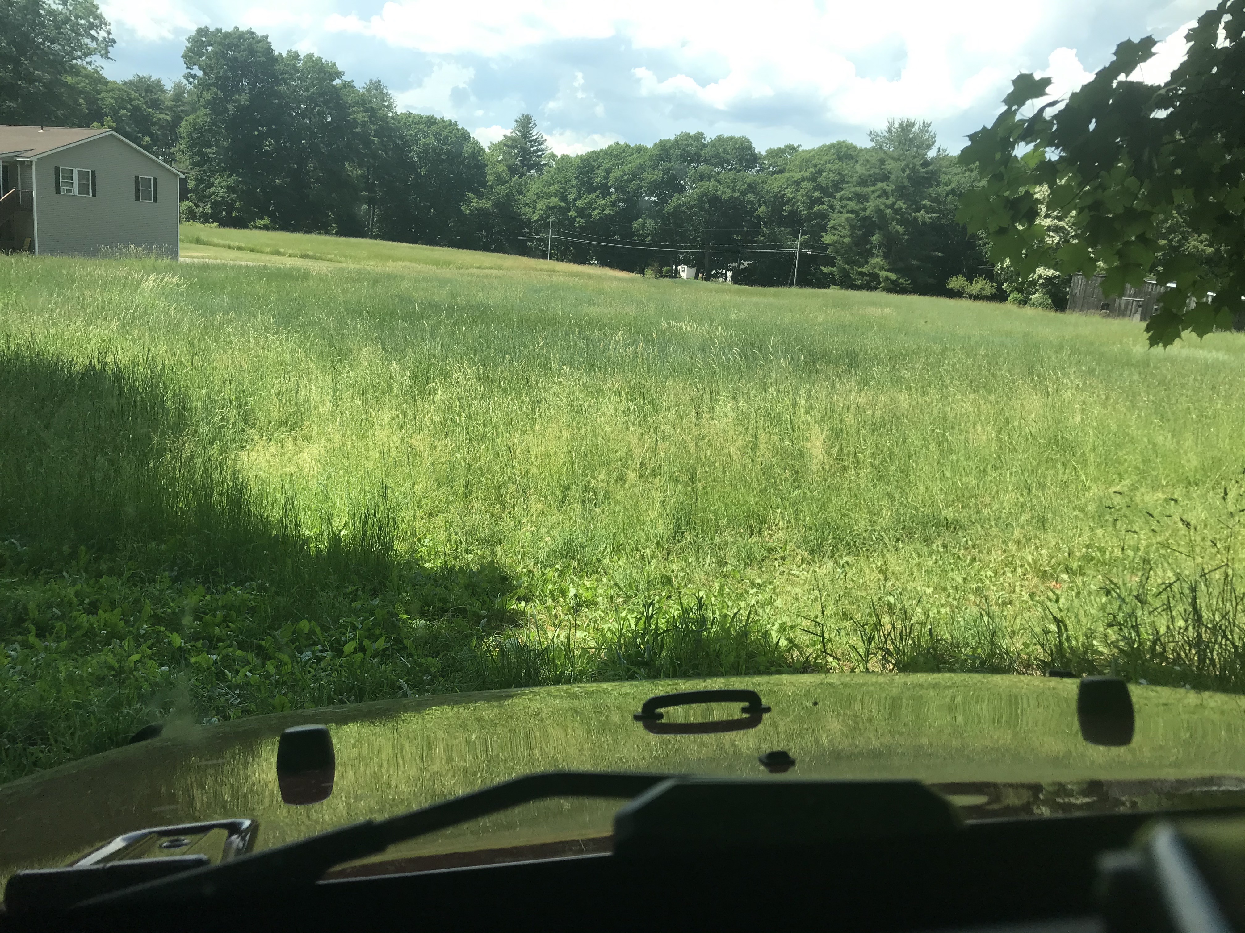
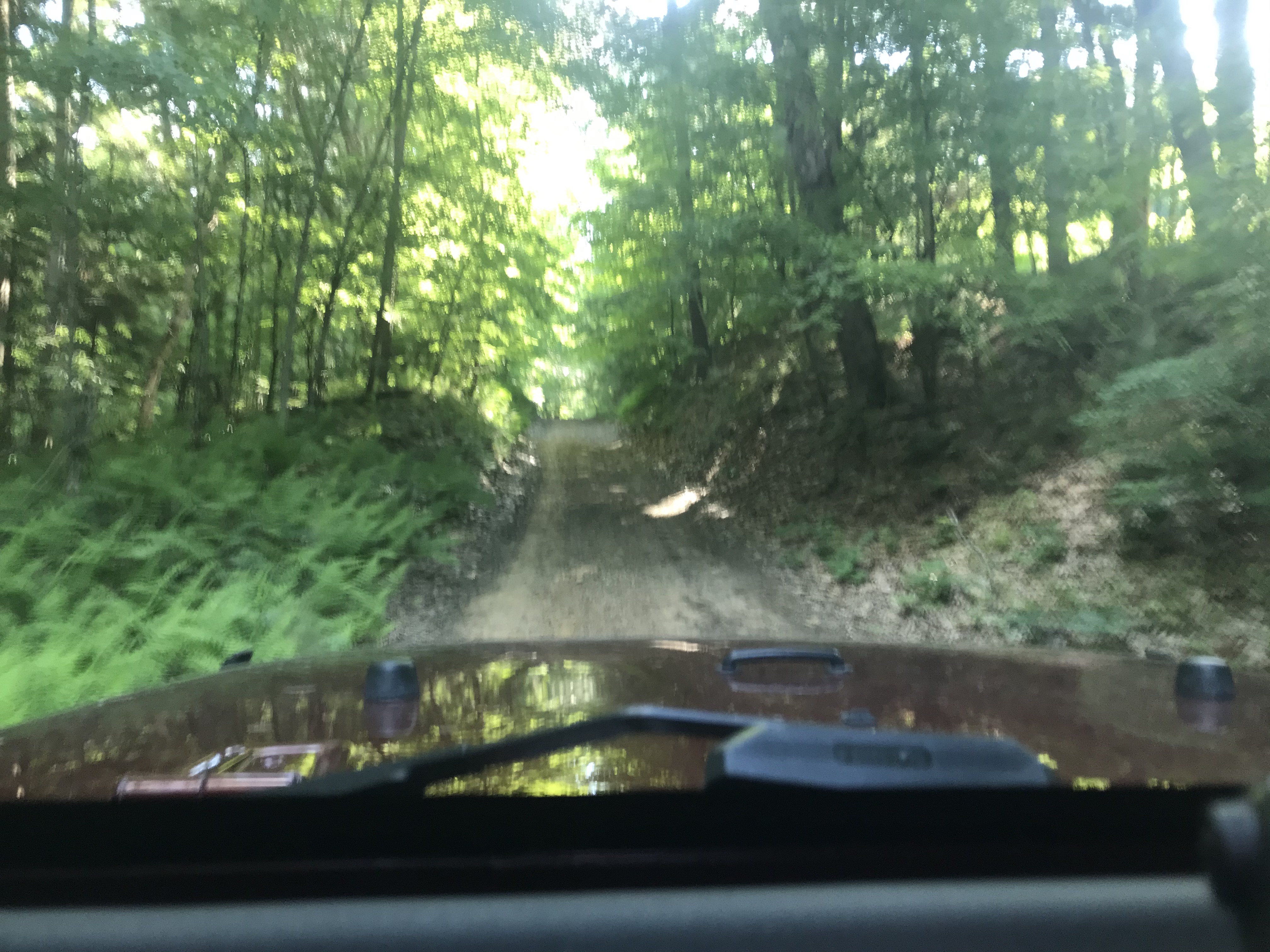
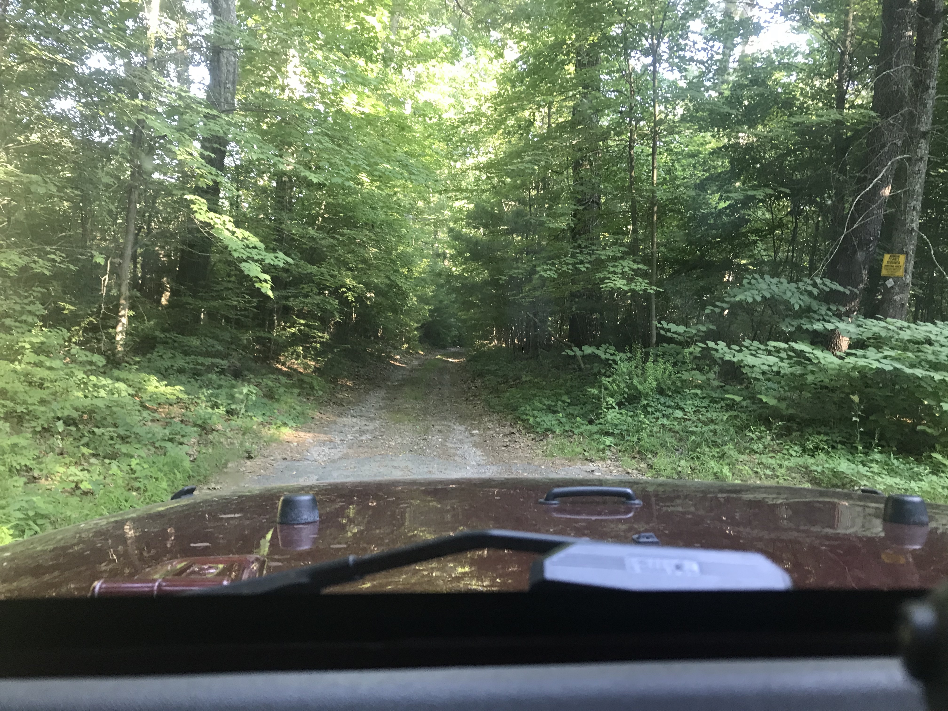
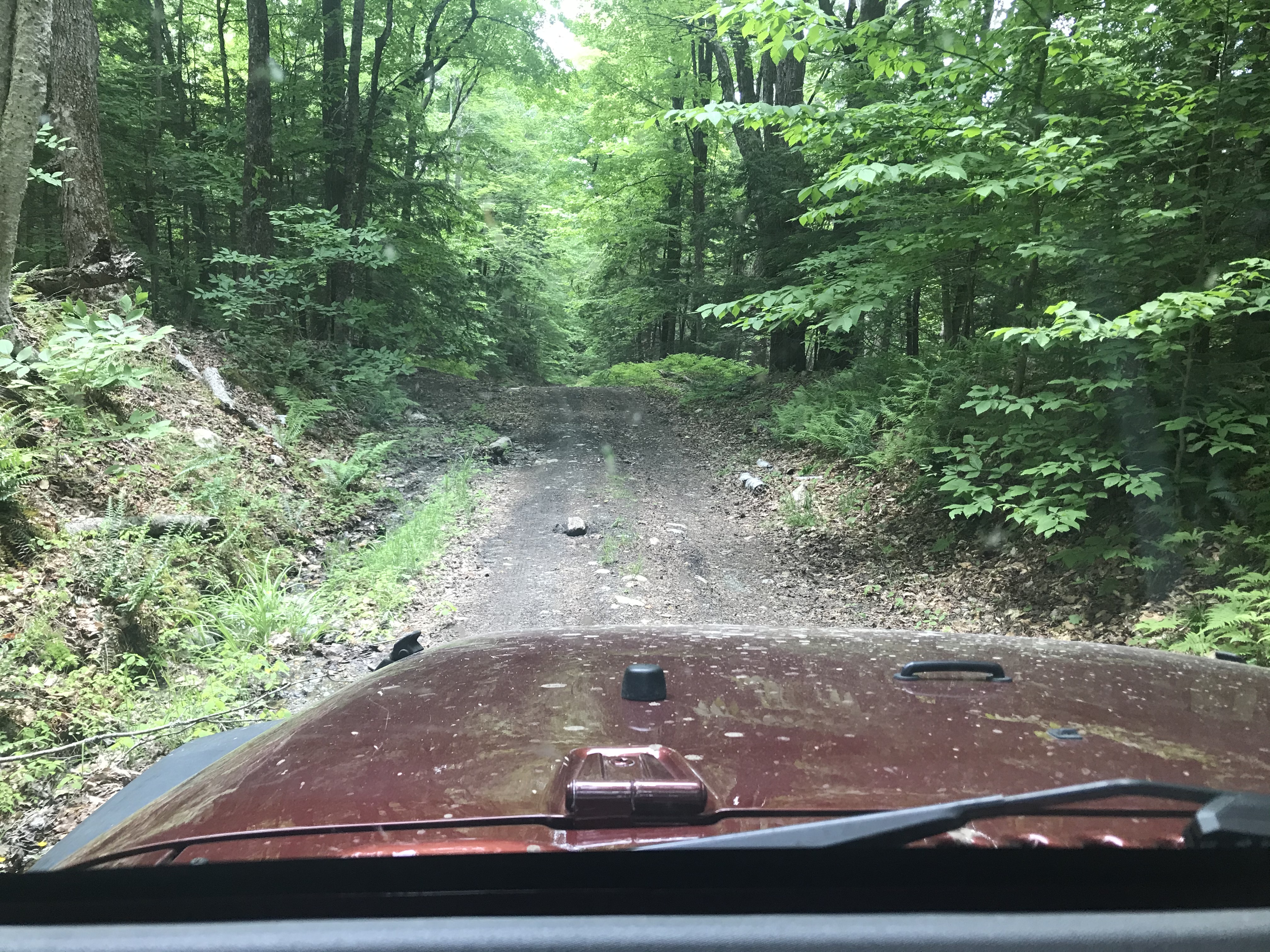
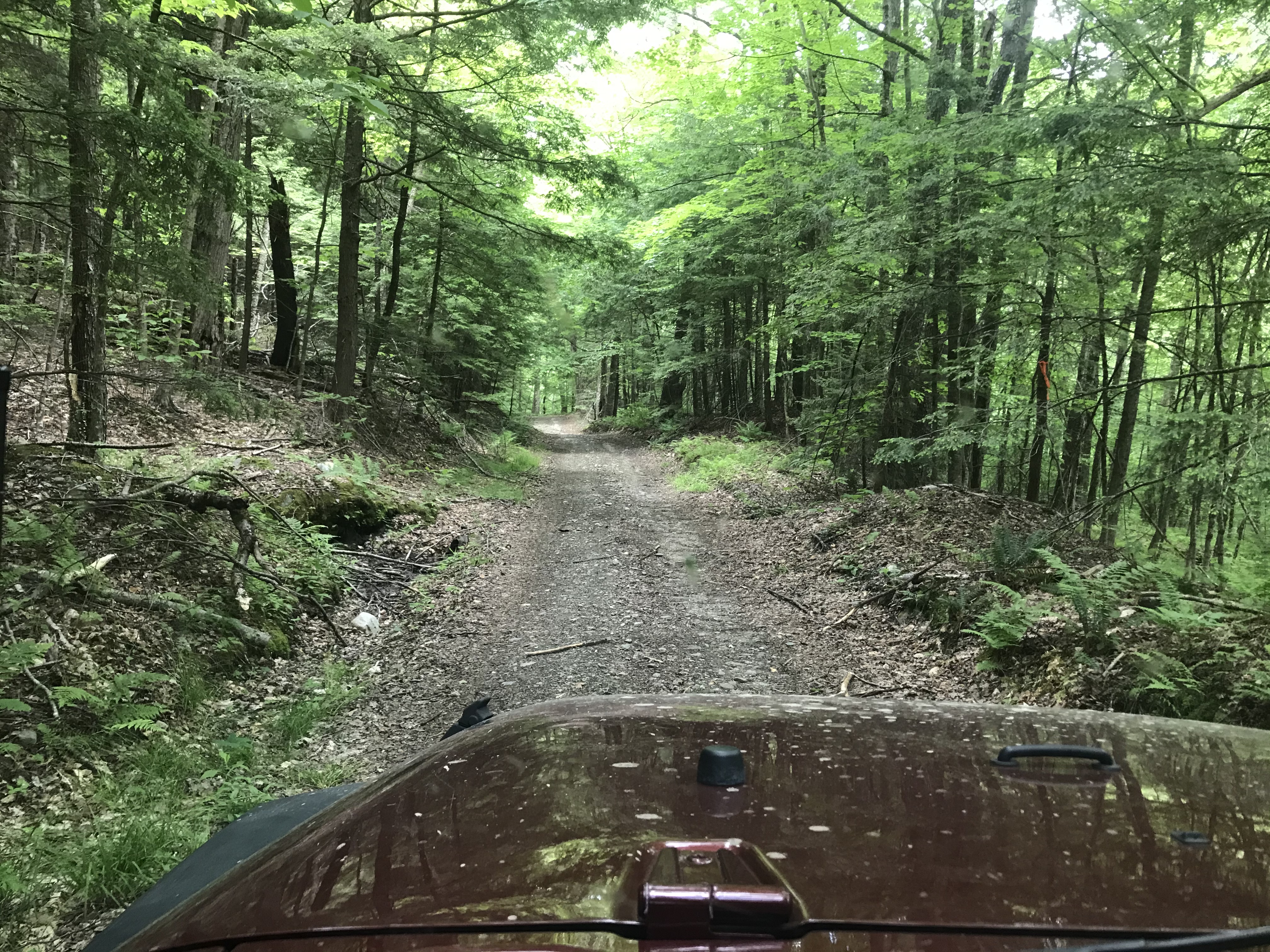
Back in Savoy State Forest, let's poke down this road...
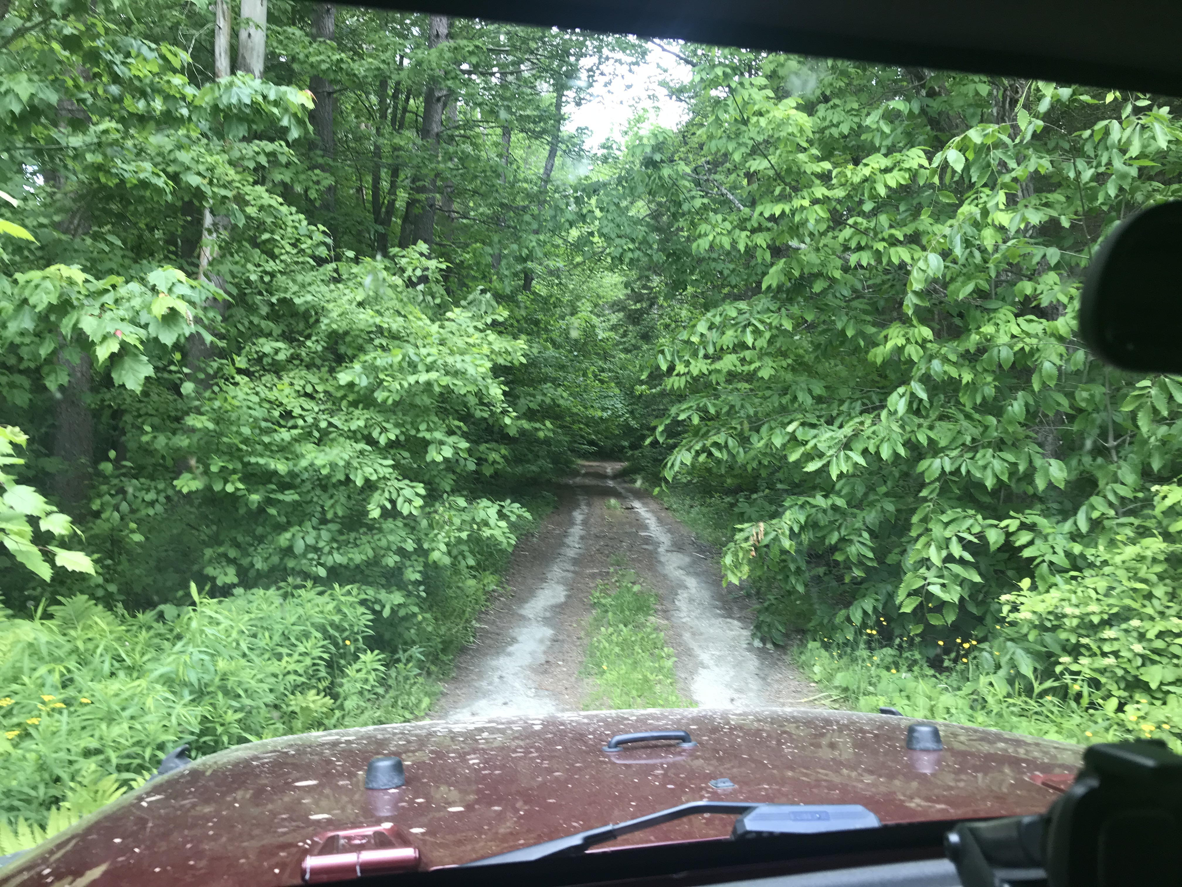
*sigh*...that doesn't look that difficult at all, but there is a little risk and without a winch I best back up till I find a place to turn around.

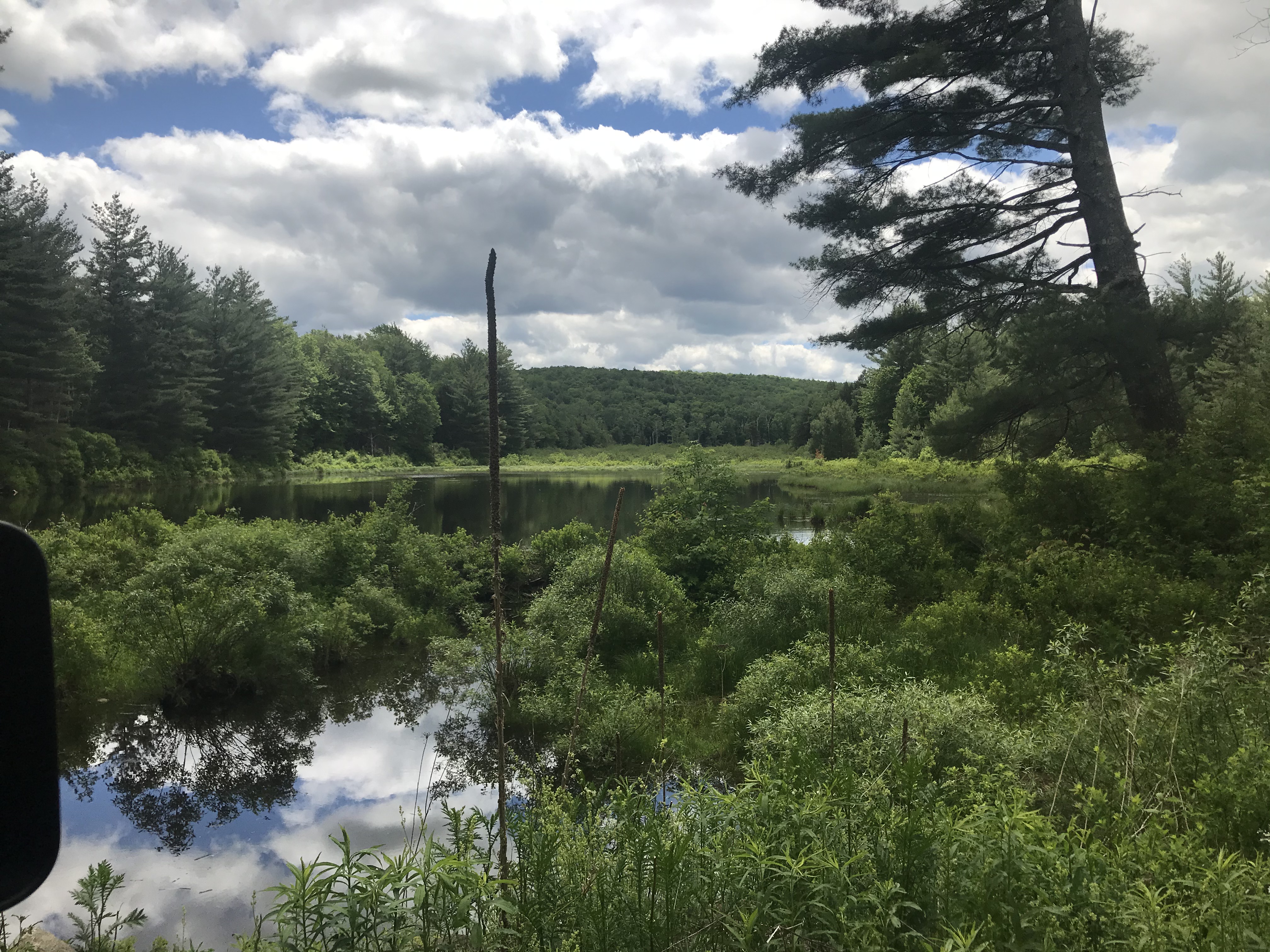
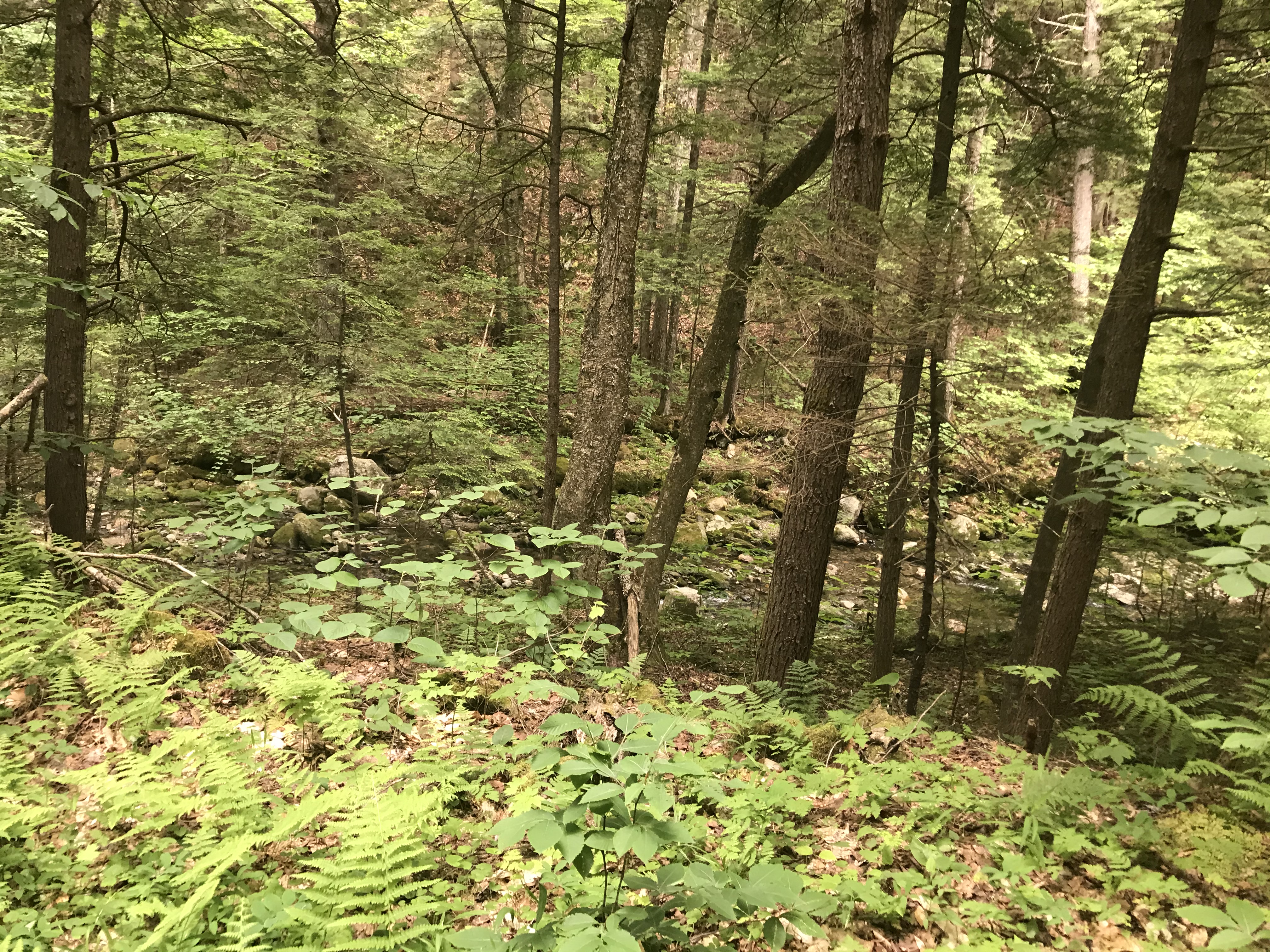
Tannery Falls area of Savoy:


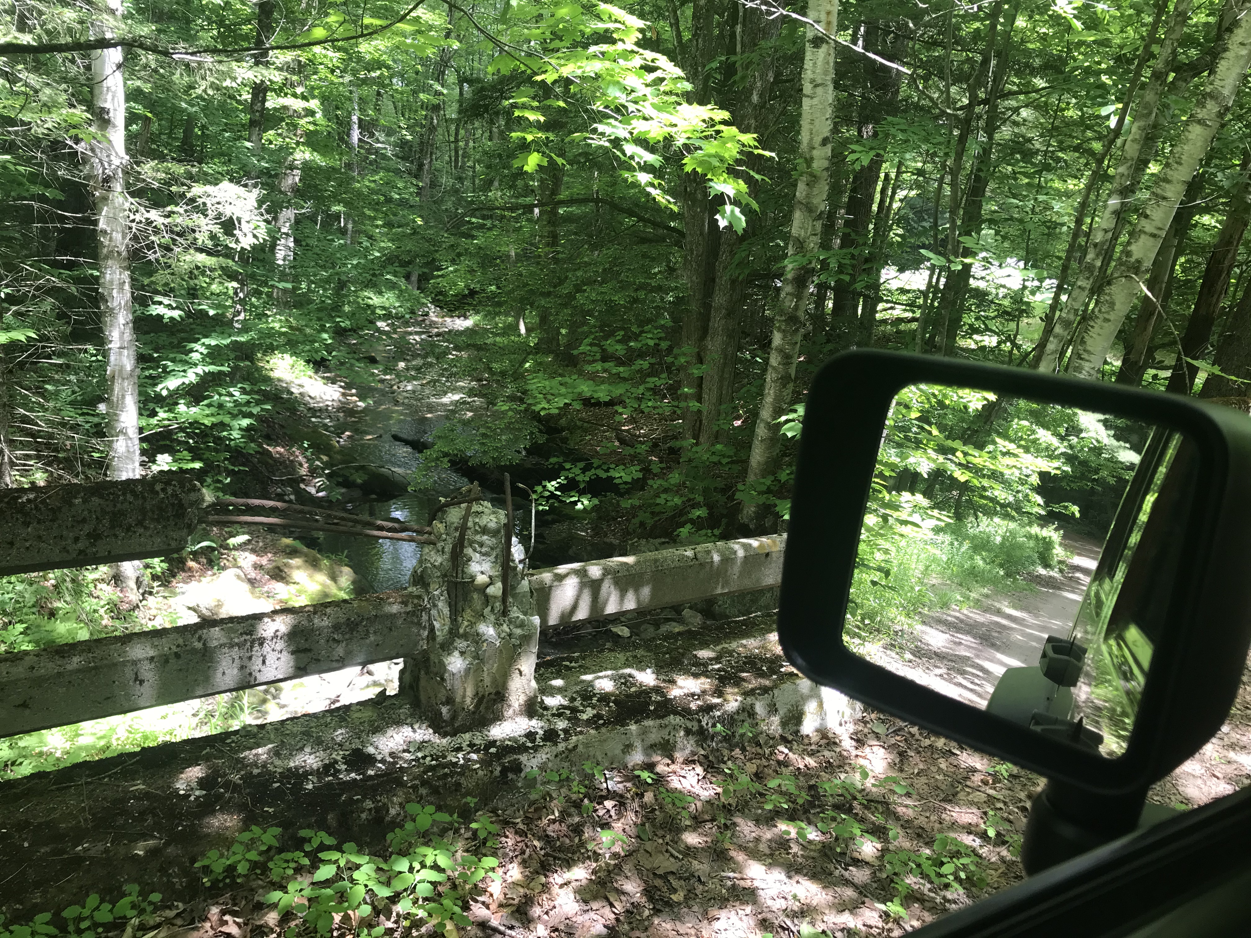
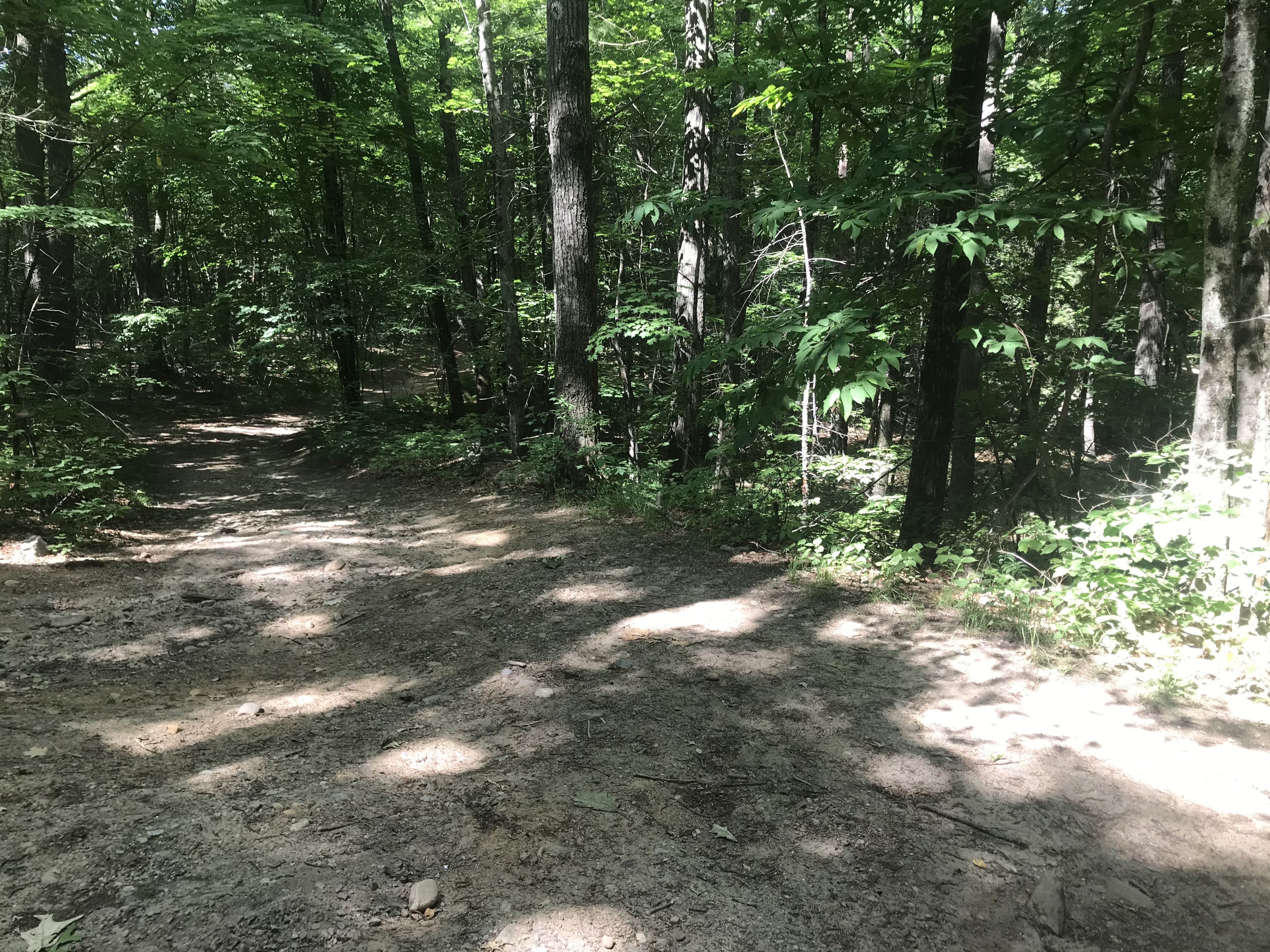
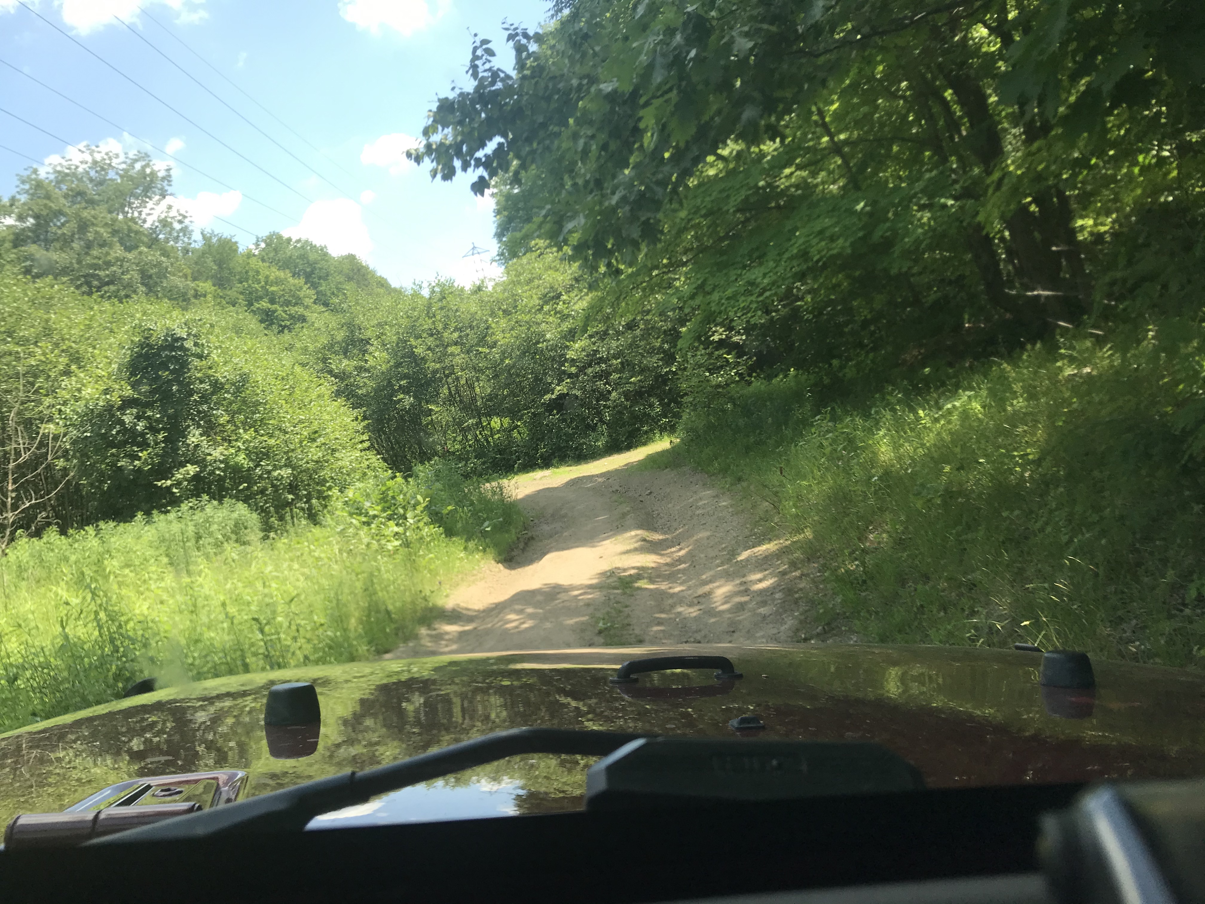
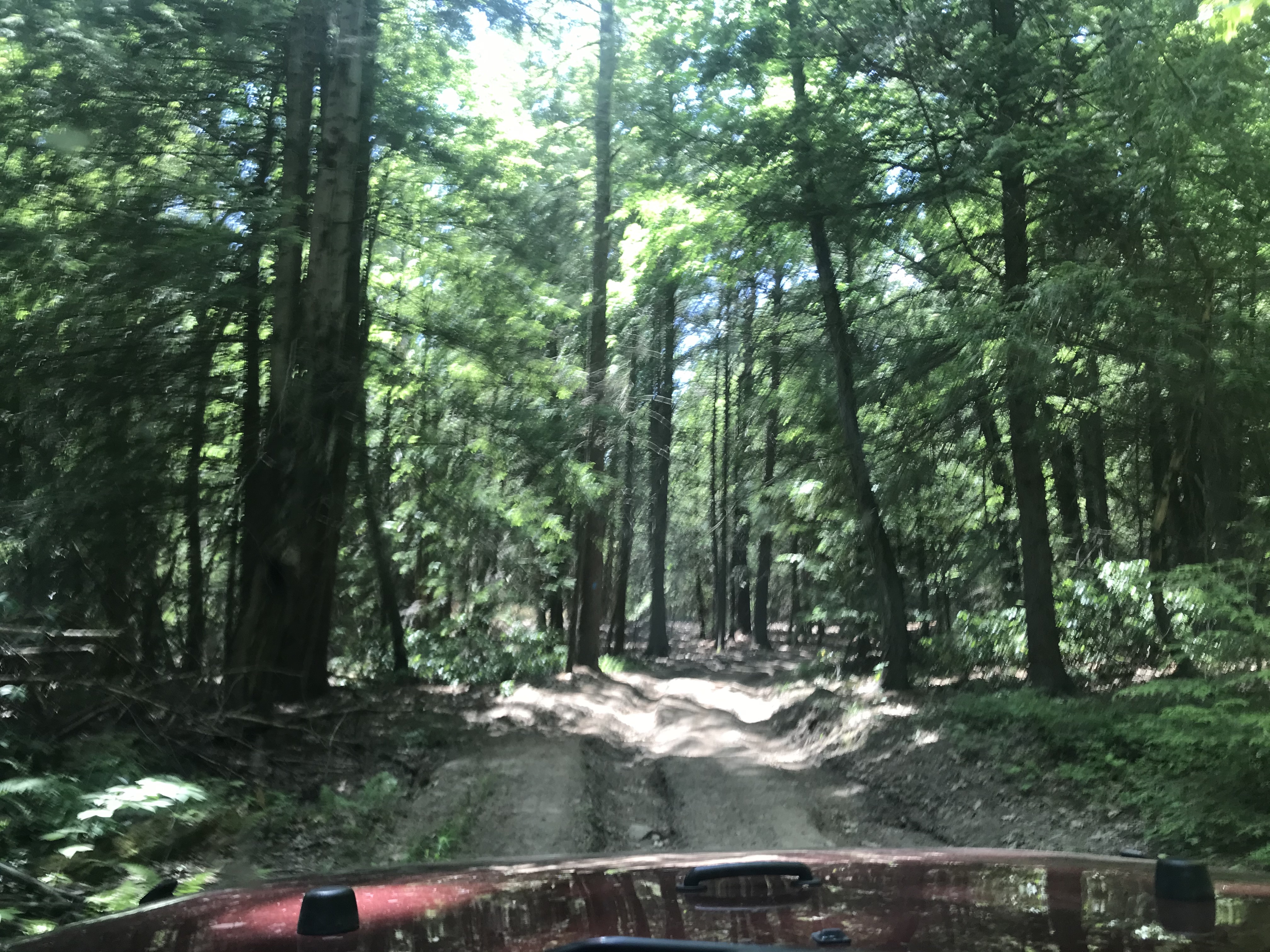
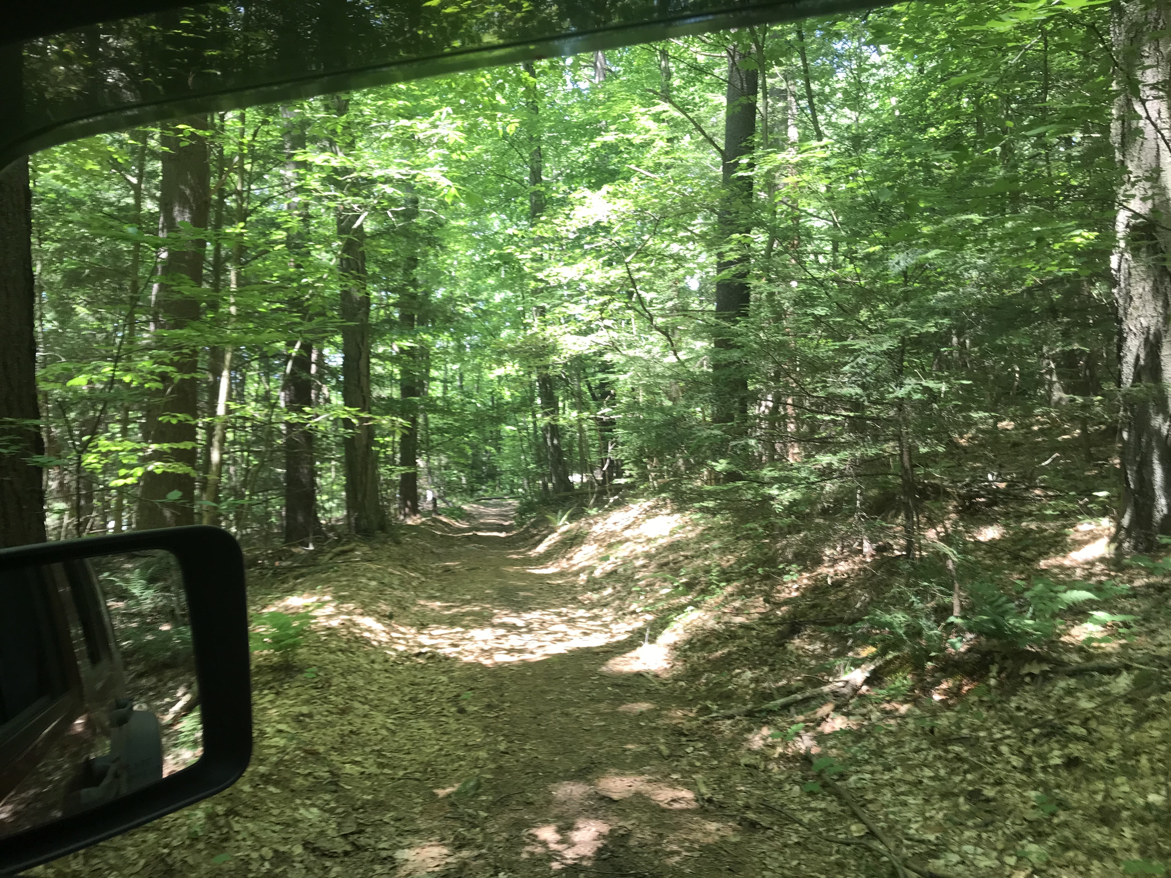
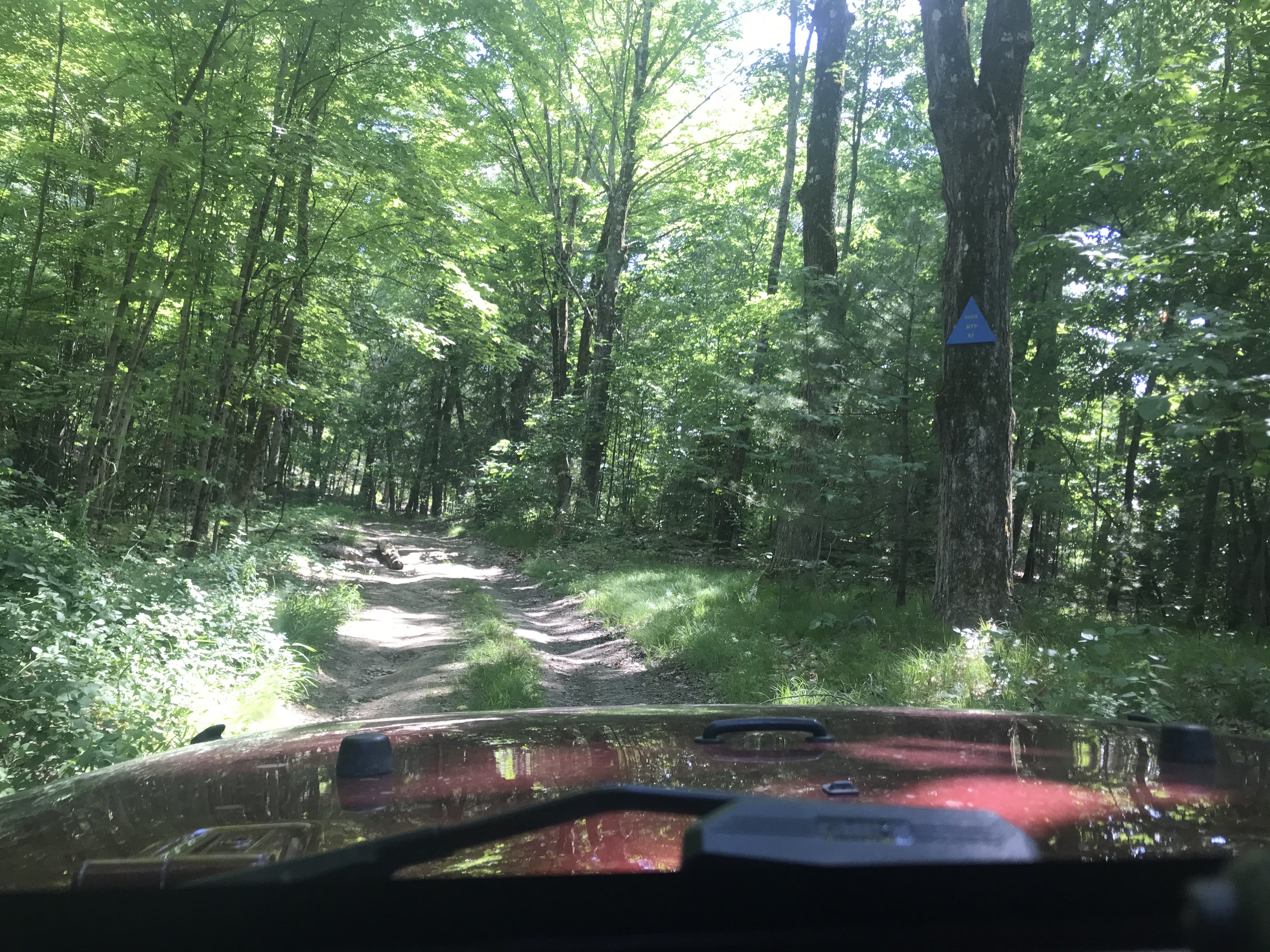
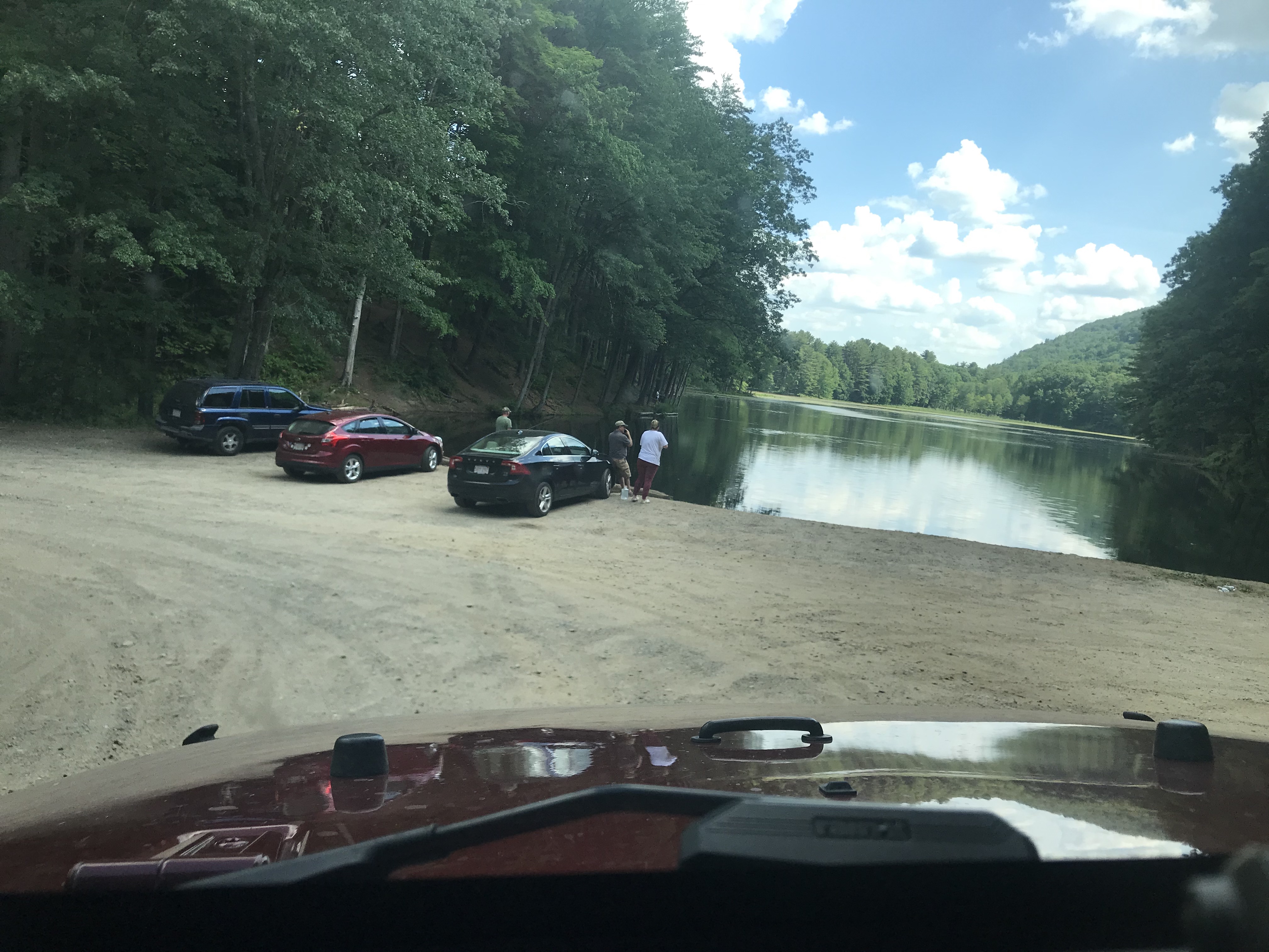
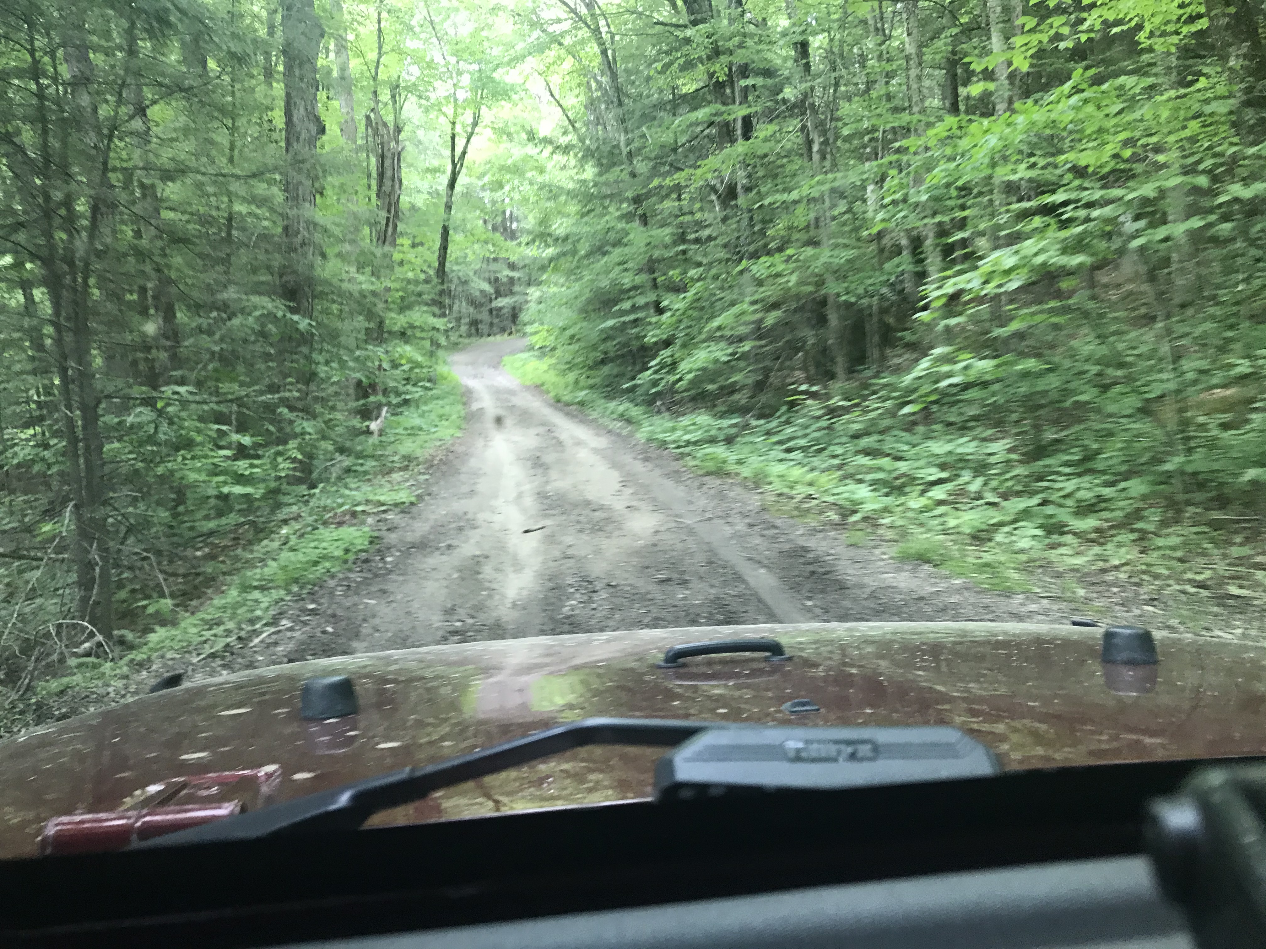
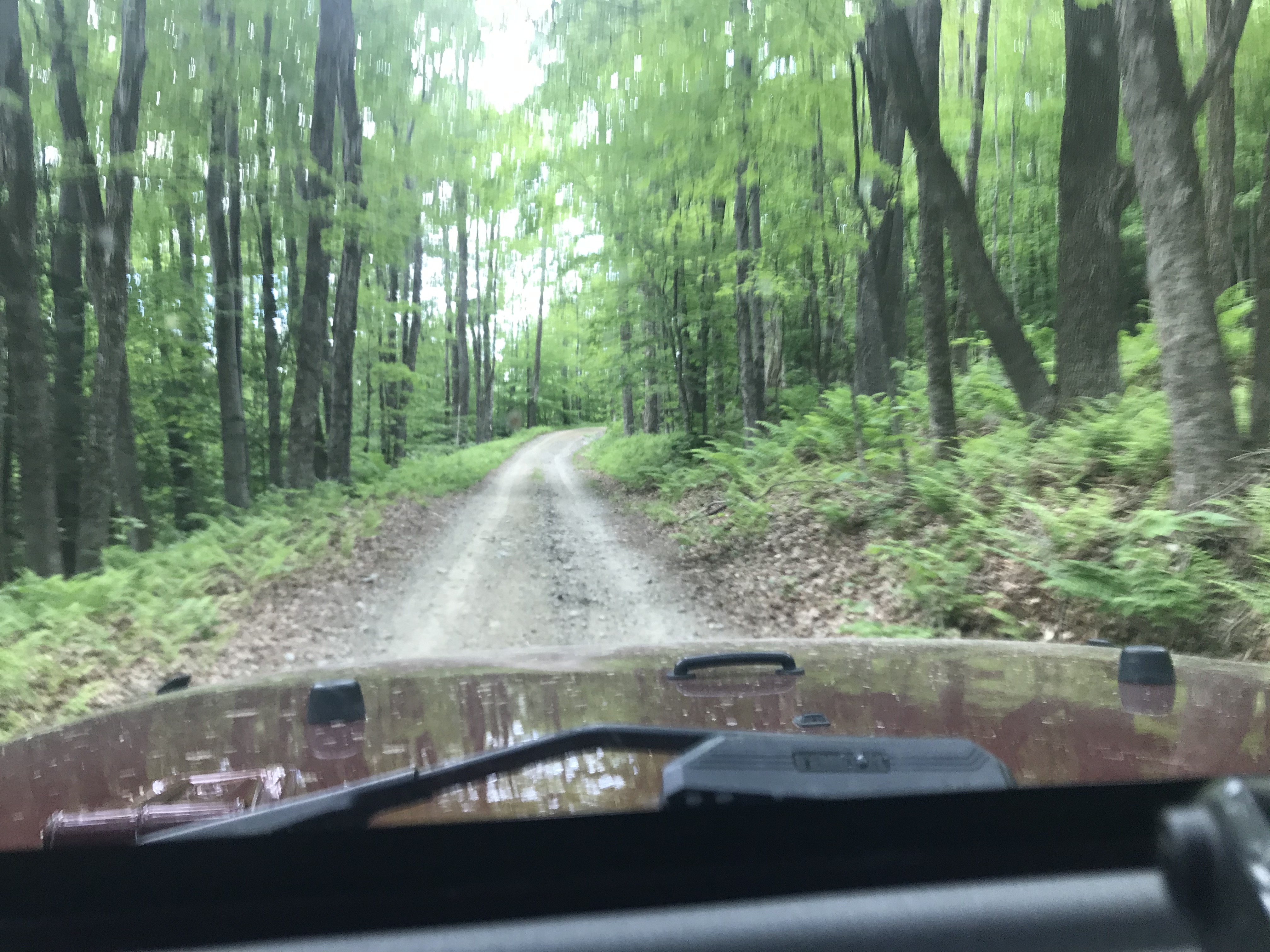
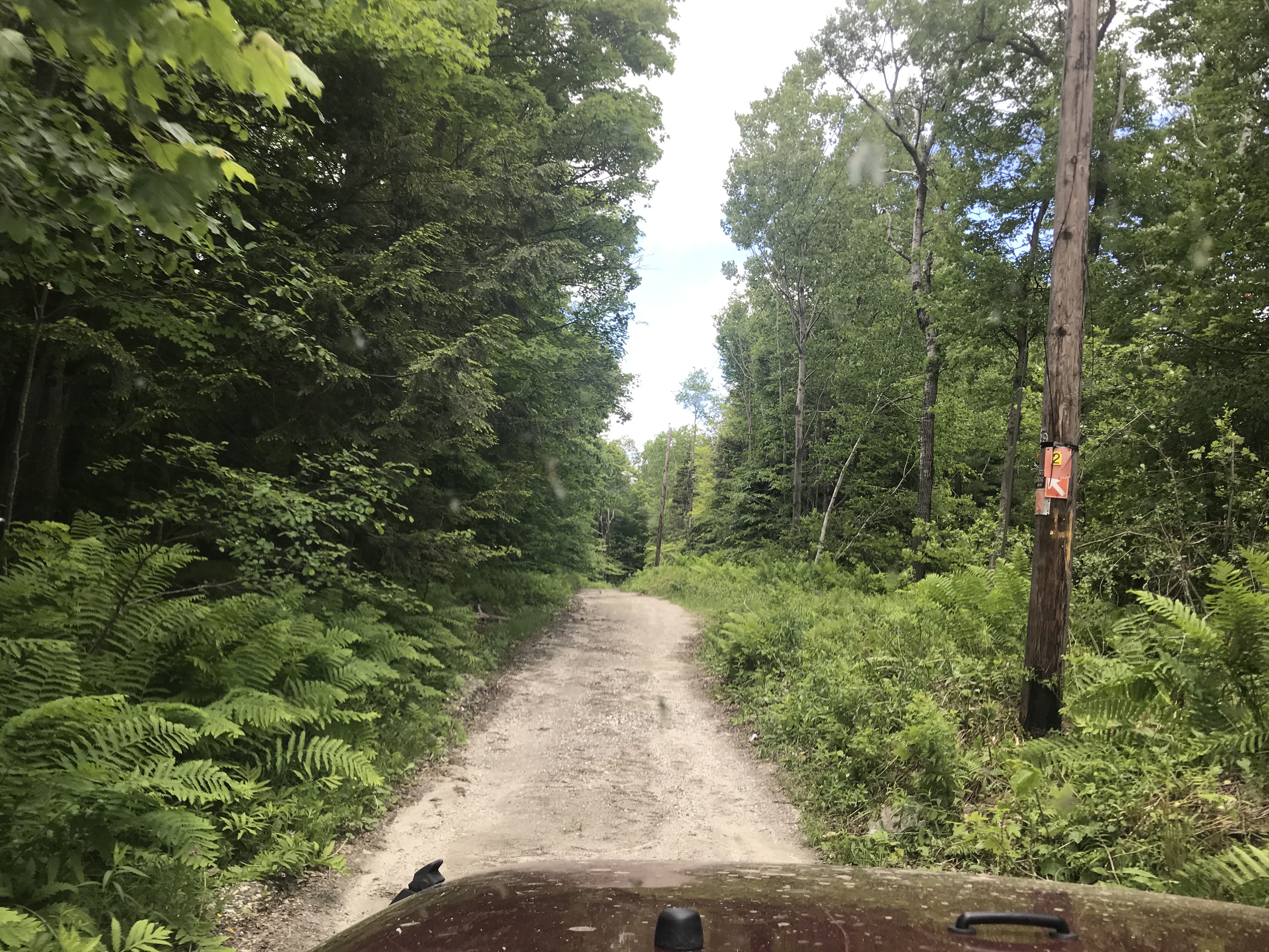
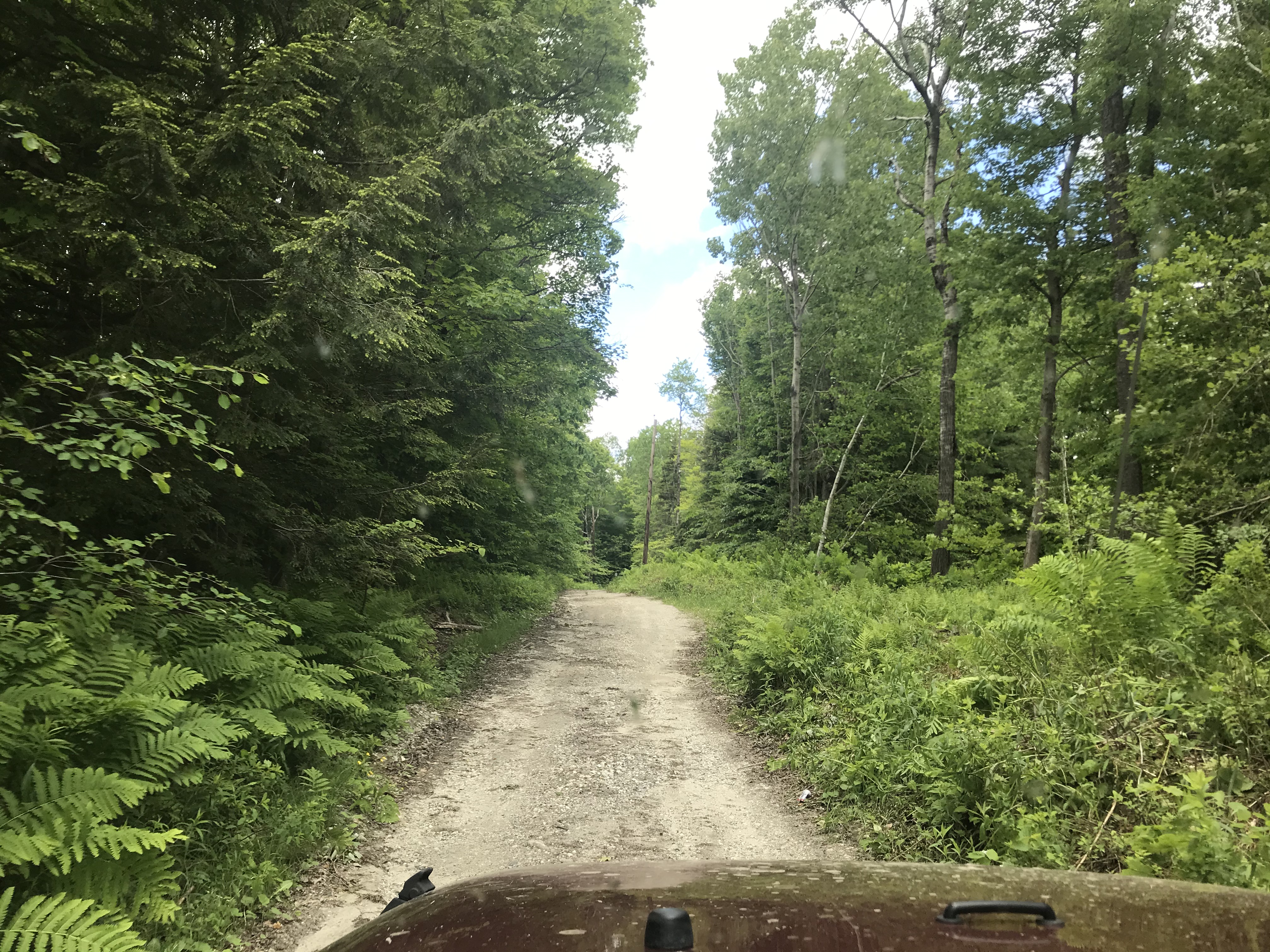
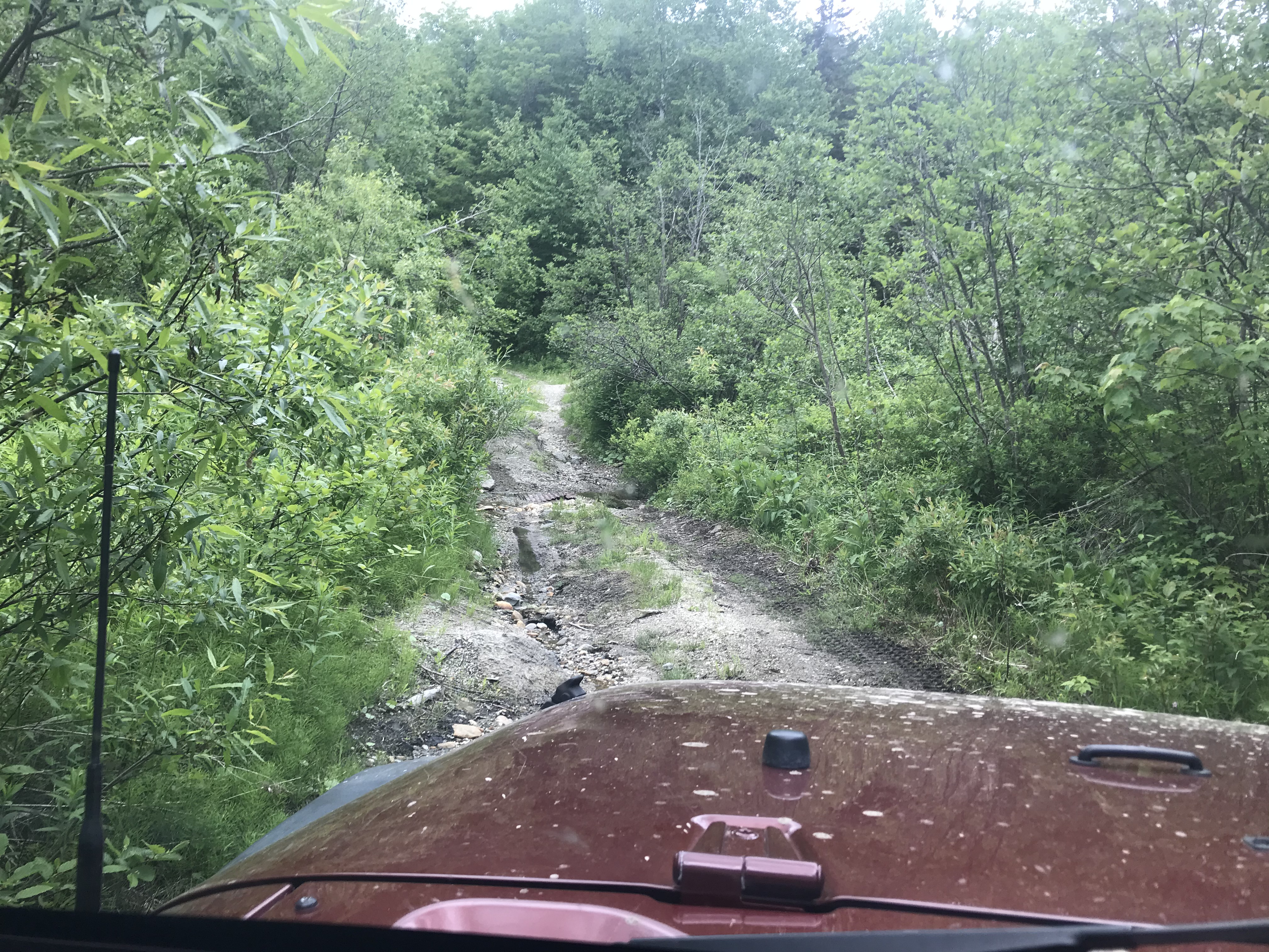
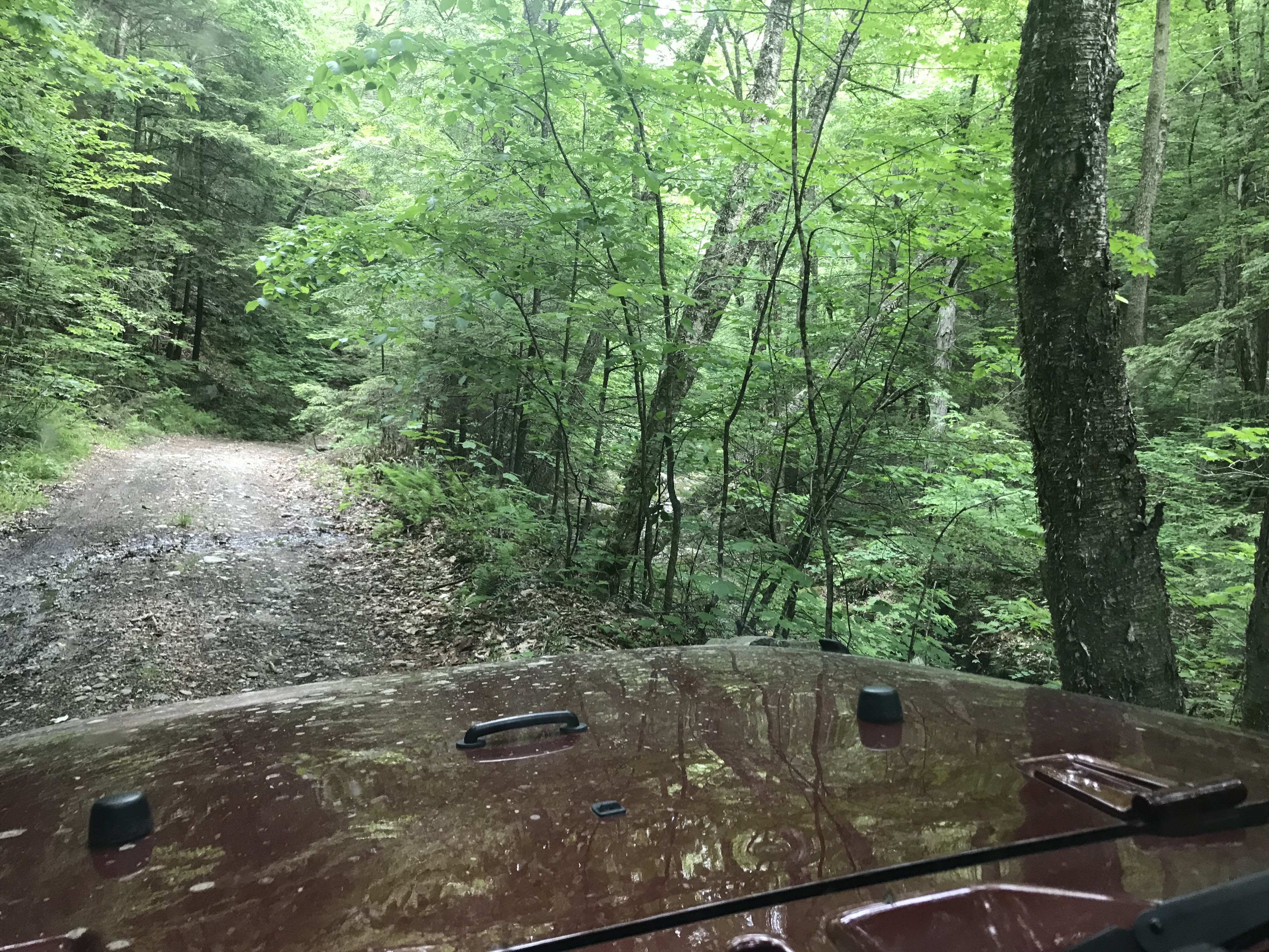
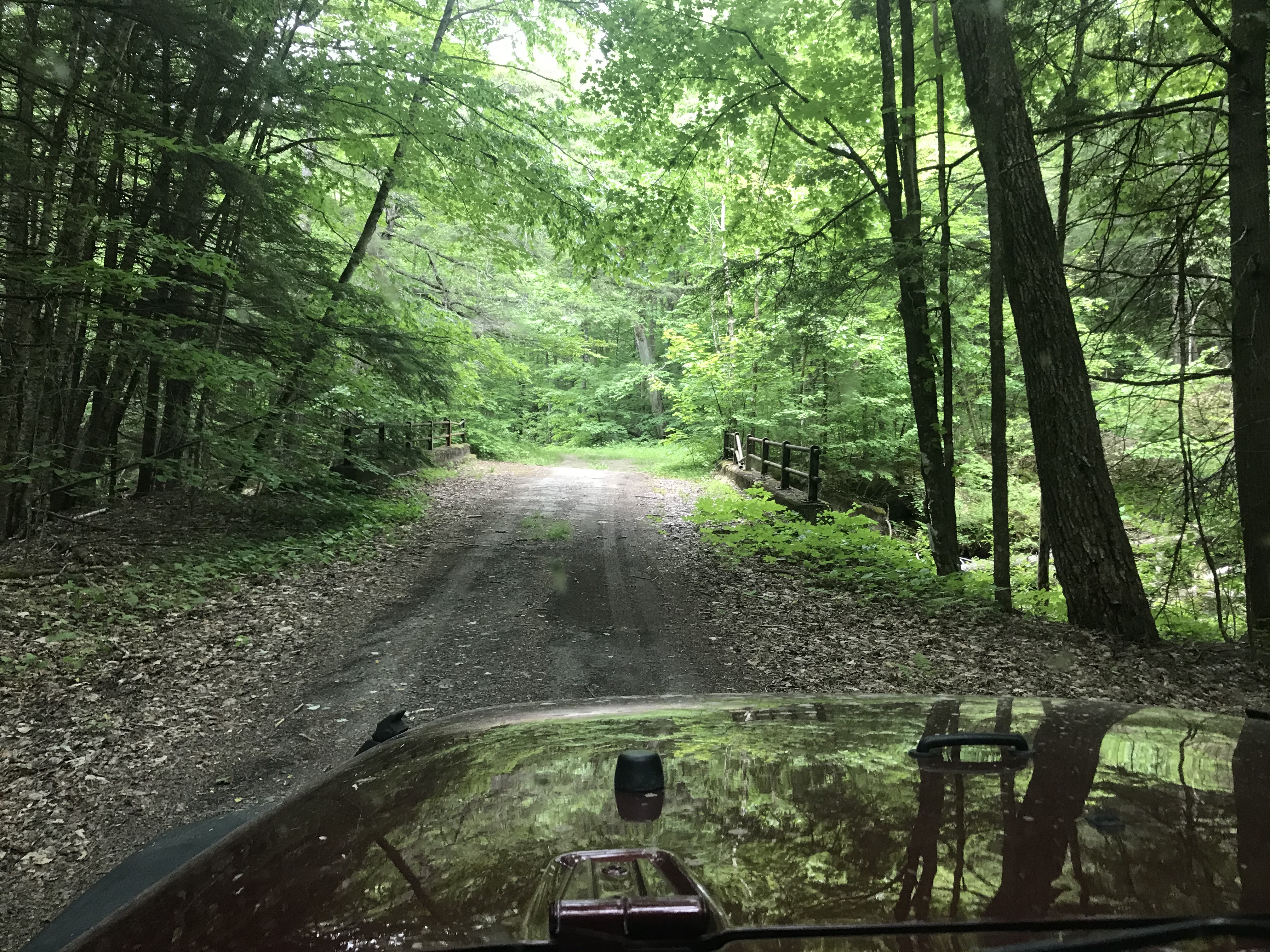
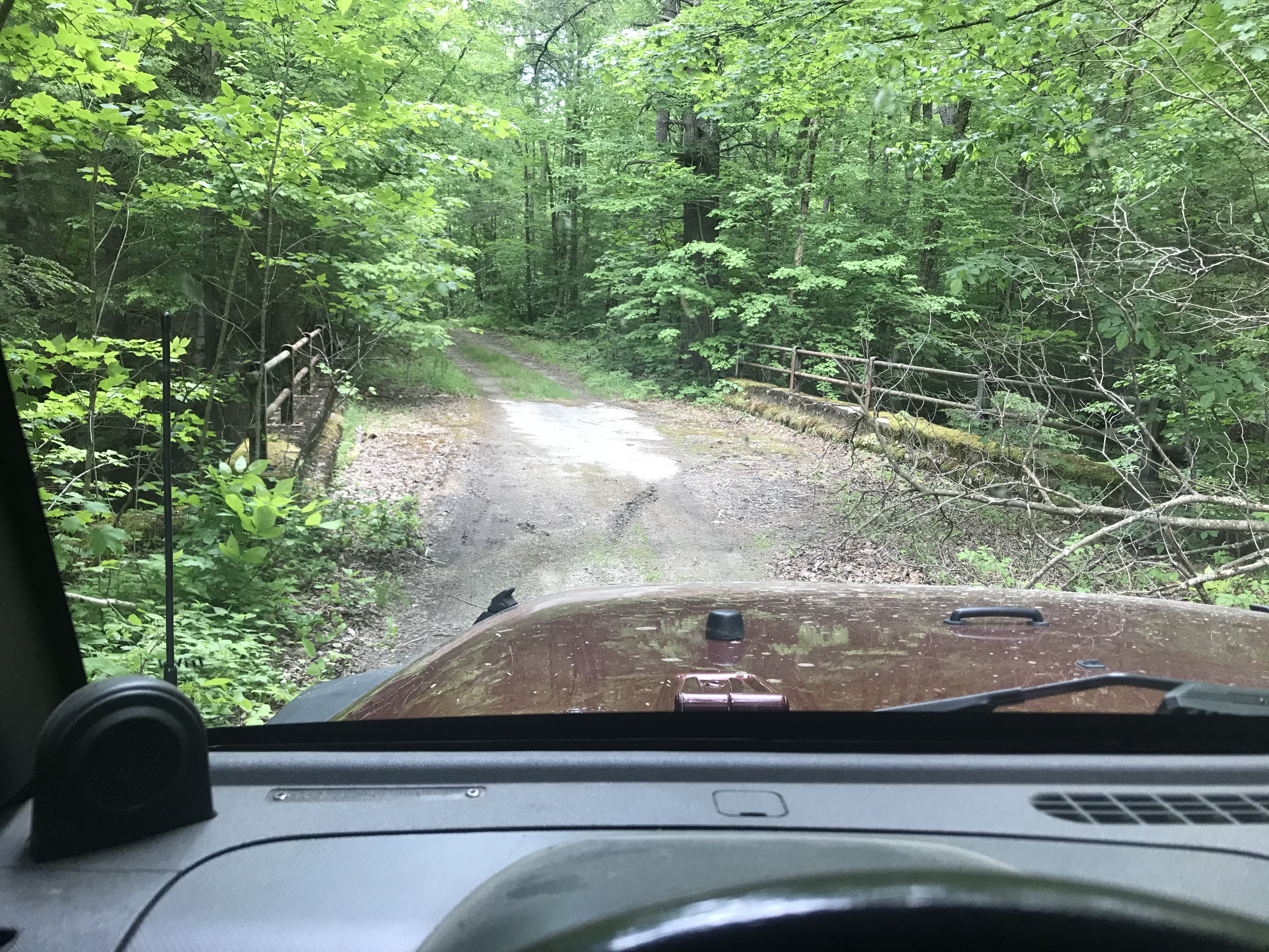
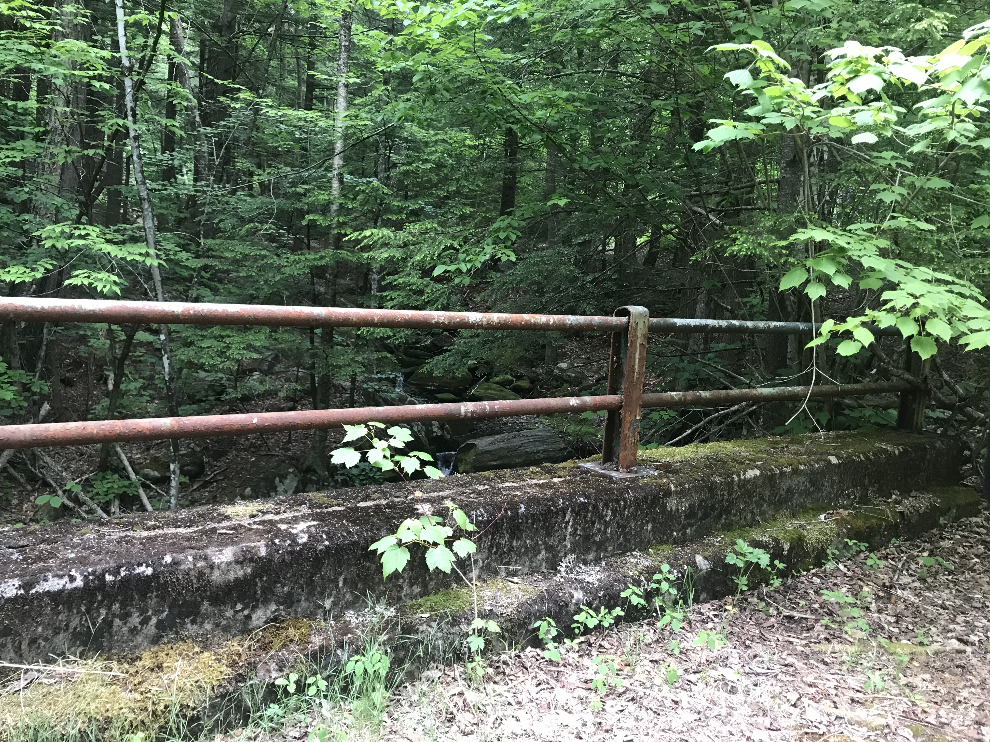
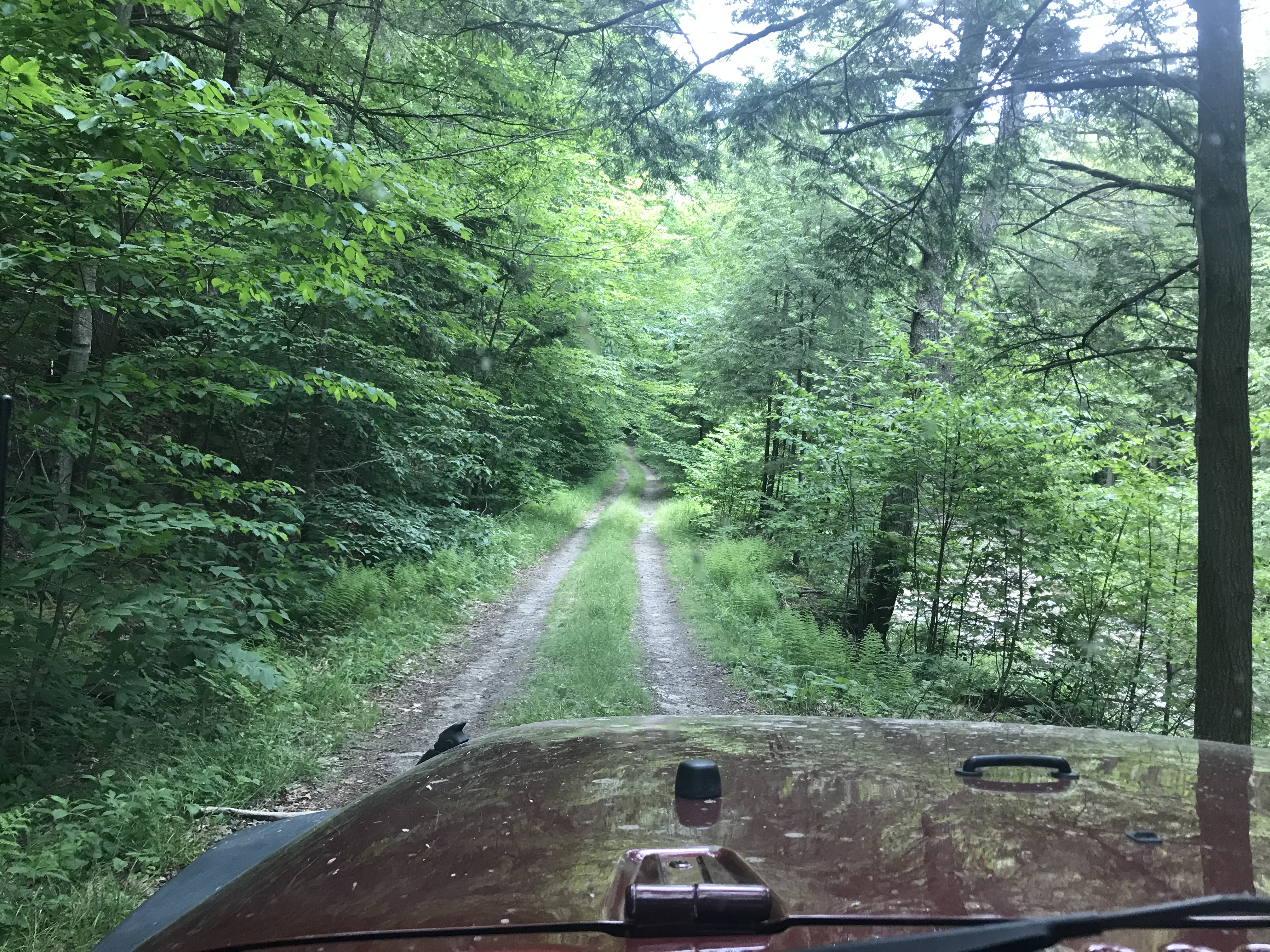
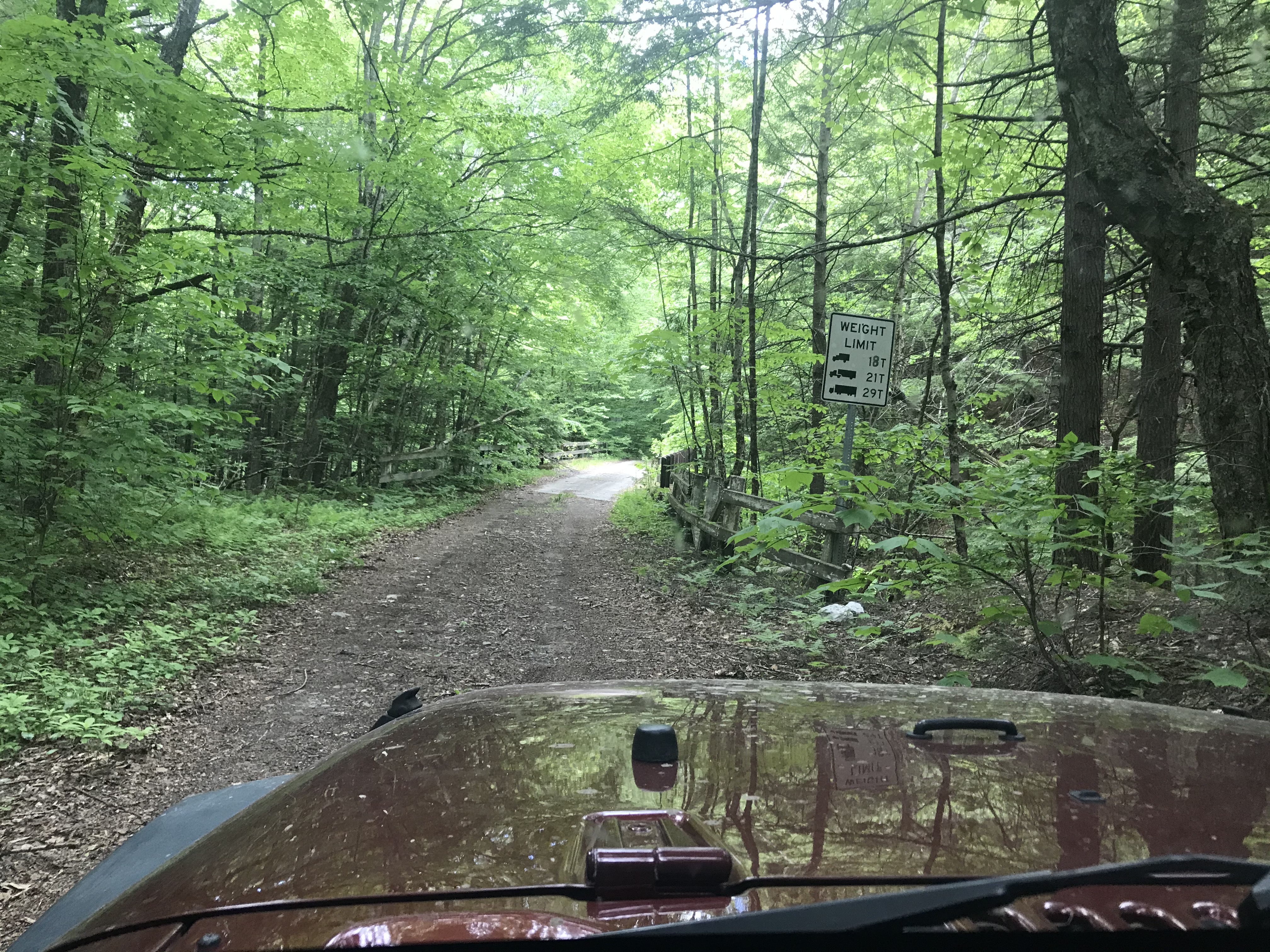
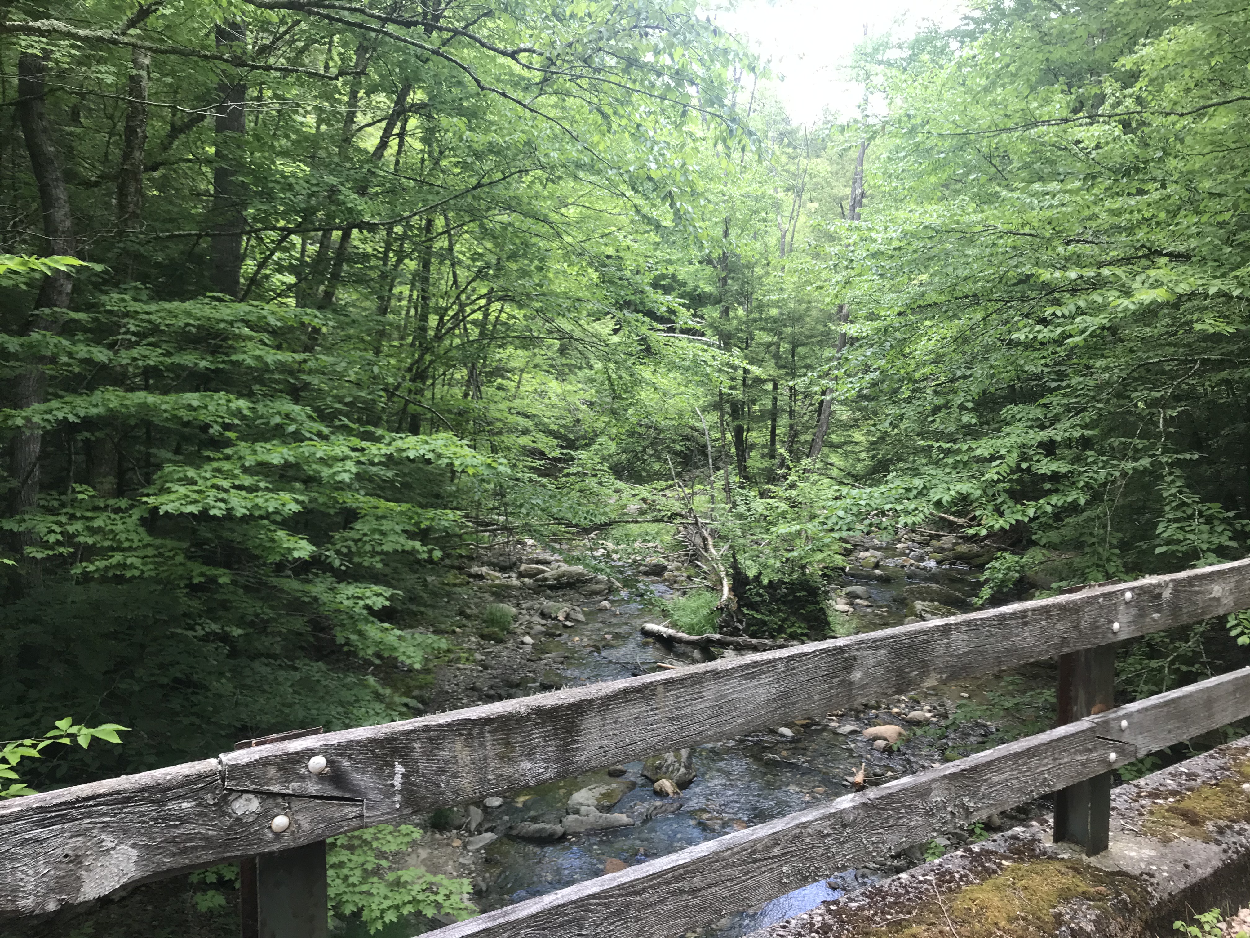
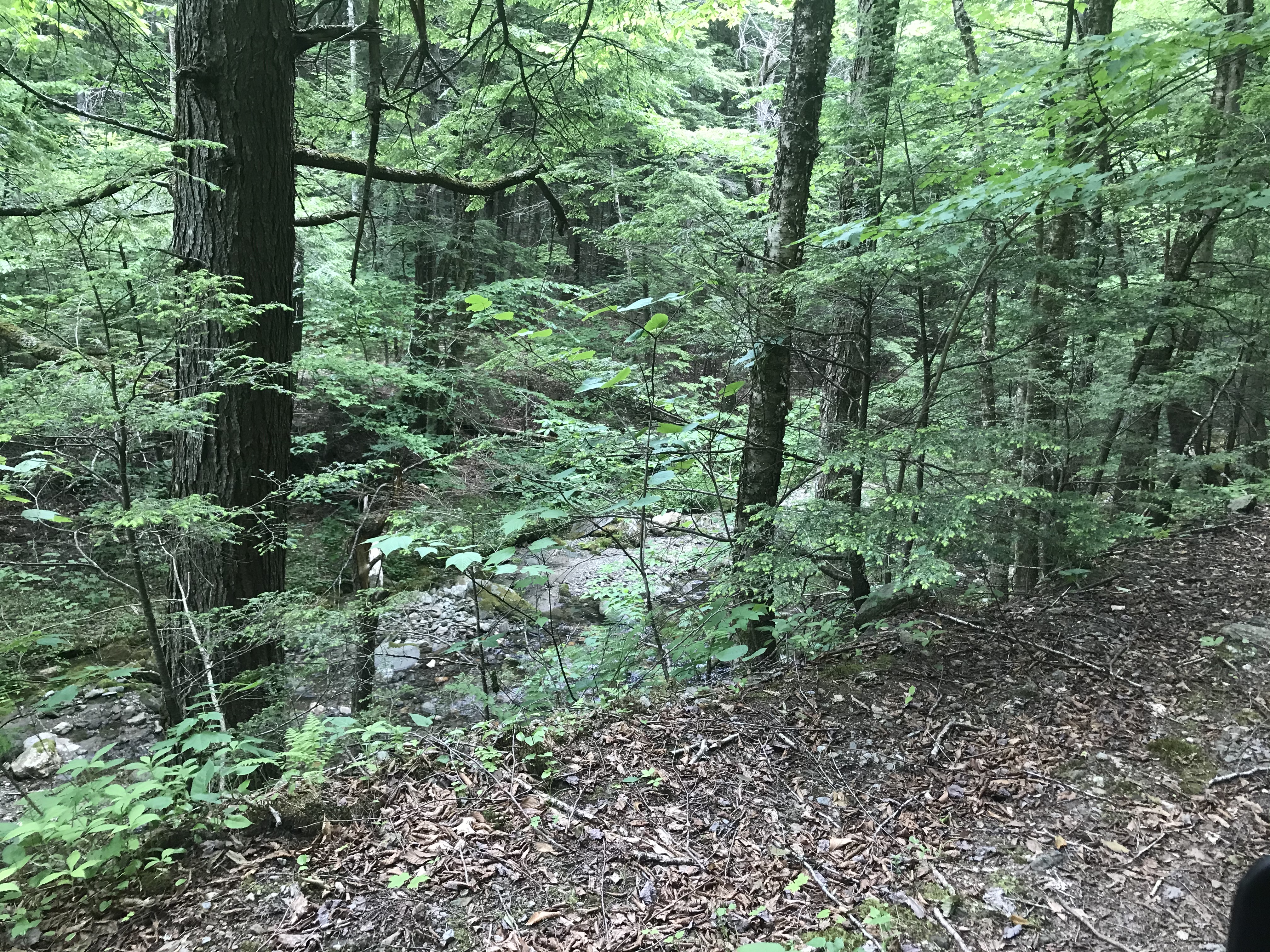
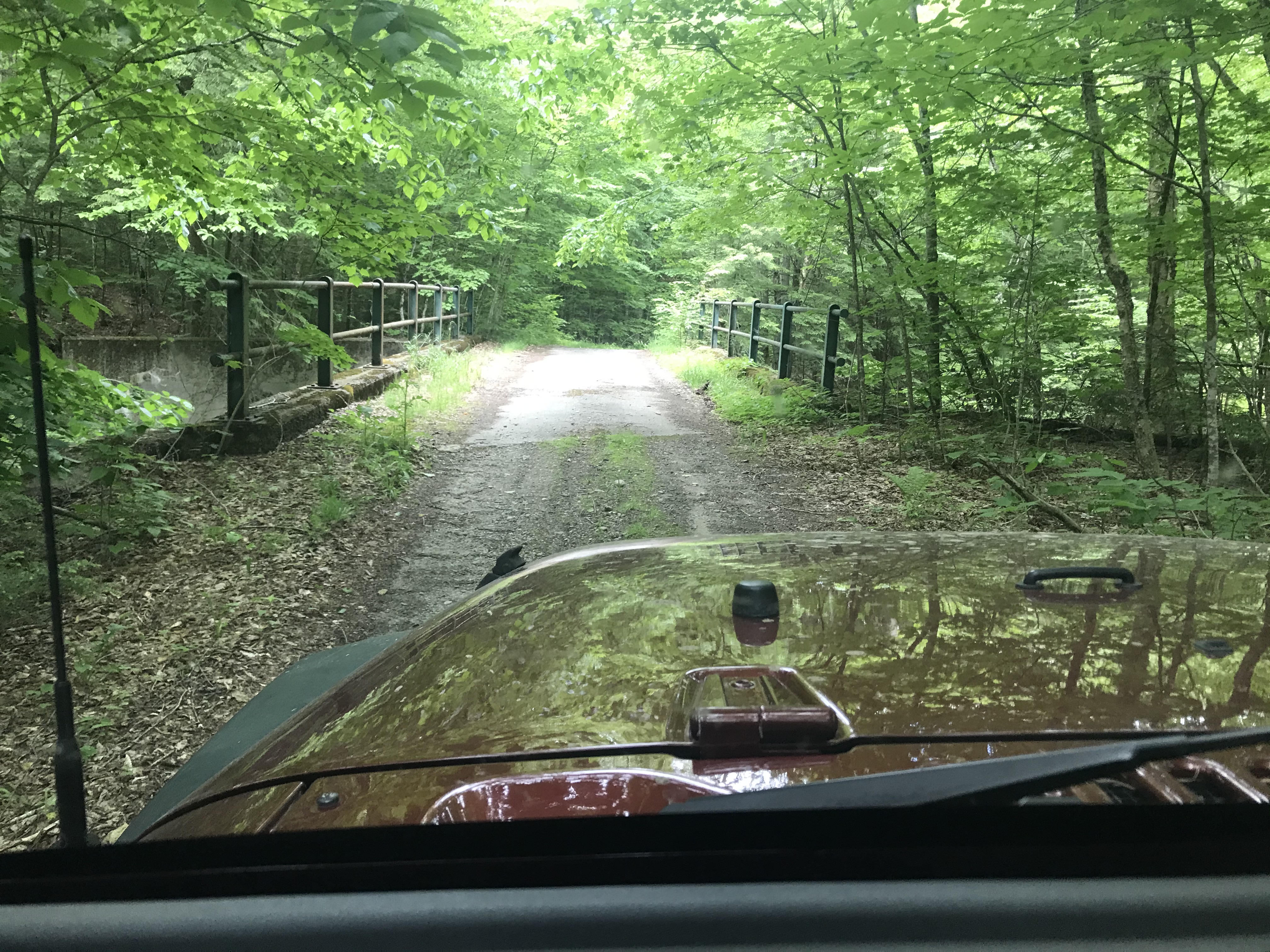
Next set of shots, was following the DeLorme and found an awesome gem of an area of a state forest on the Savoy/Hawley line...could've taken a Subura through it (with only one section that would've challenged it)...but pretty much nothing to mark it, it's not even on the official maps for the state forests near it. Just a lot of really good CCC construction...and four(!) bridges. I assume they're in good shape from simple lack of use over the years.


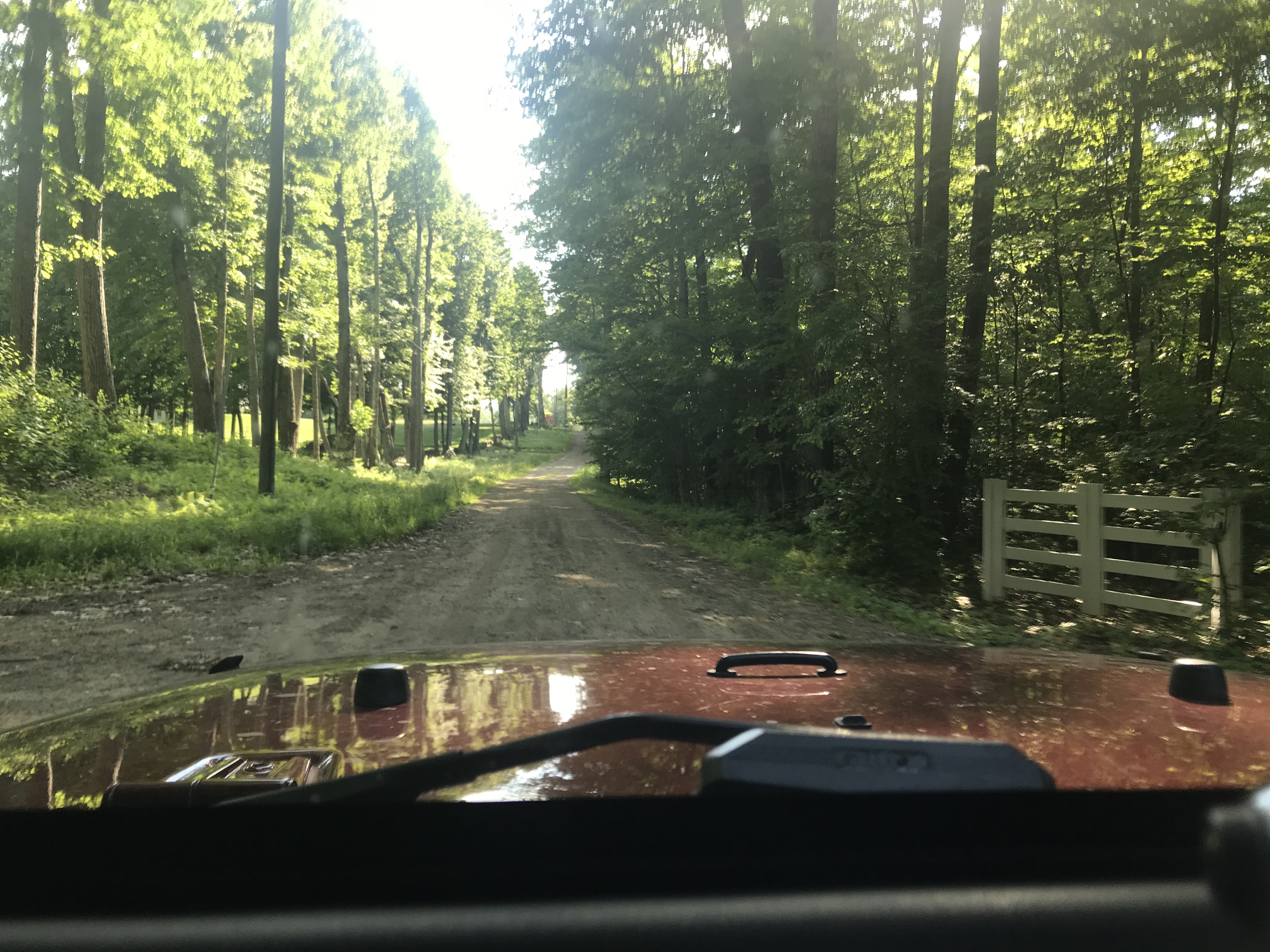
Hallockville Road, Dubuque State Forest

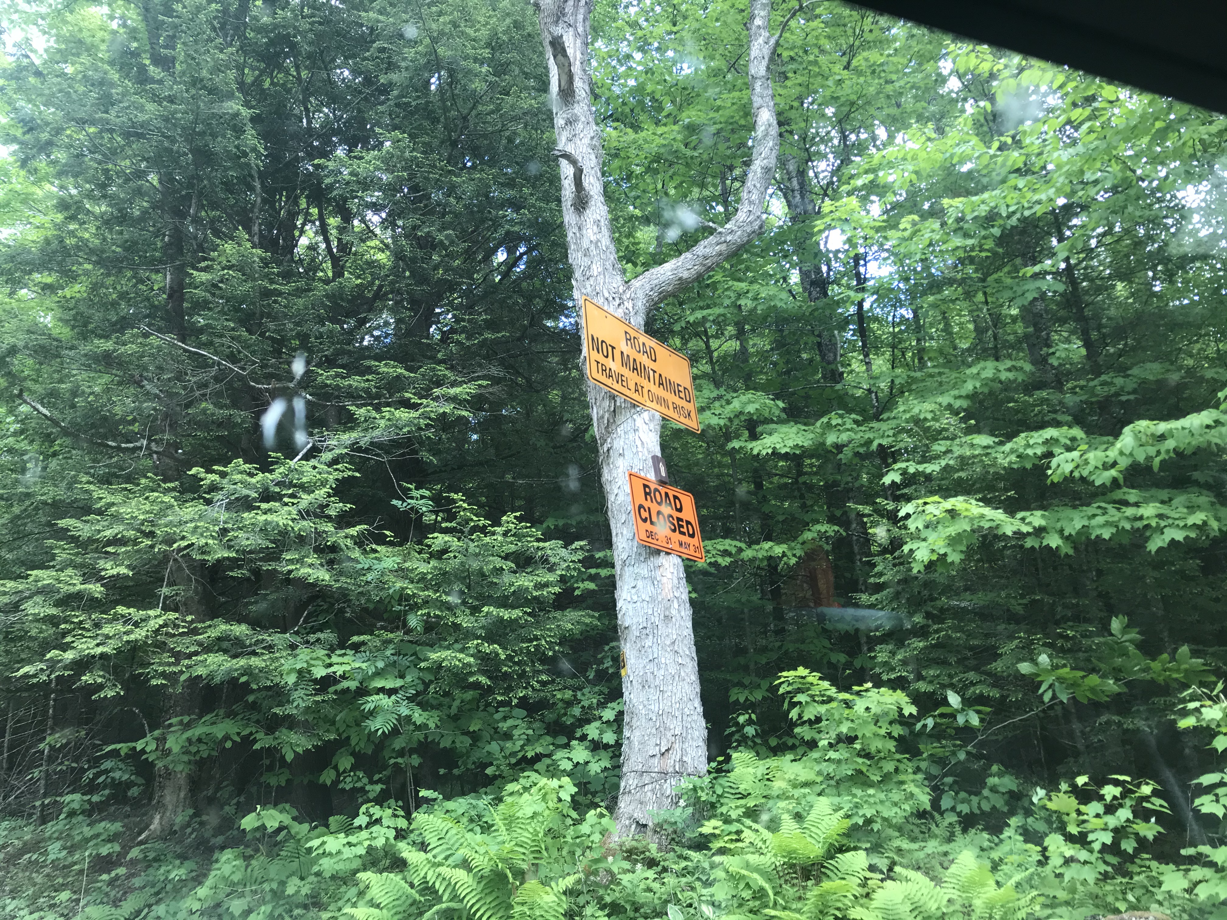
Hawley is very small town (pop. 350) with the state forest in the middle; my understanding is a few of the state forest roads the state provide the gravel and the town the grader to keep them open as backups in case town roads are closed.

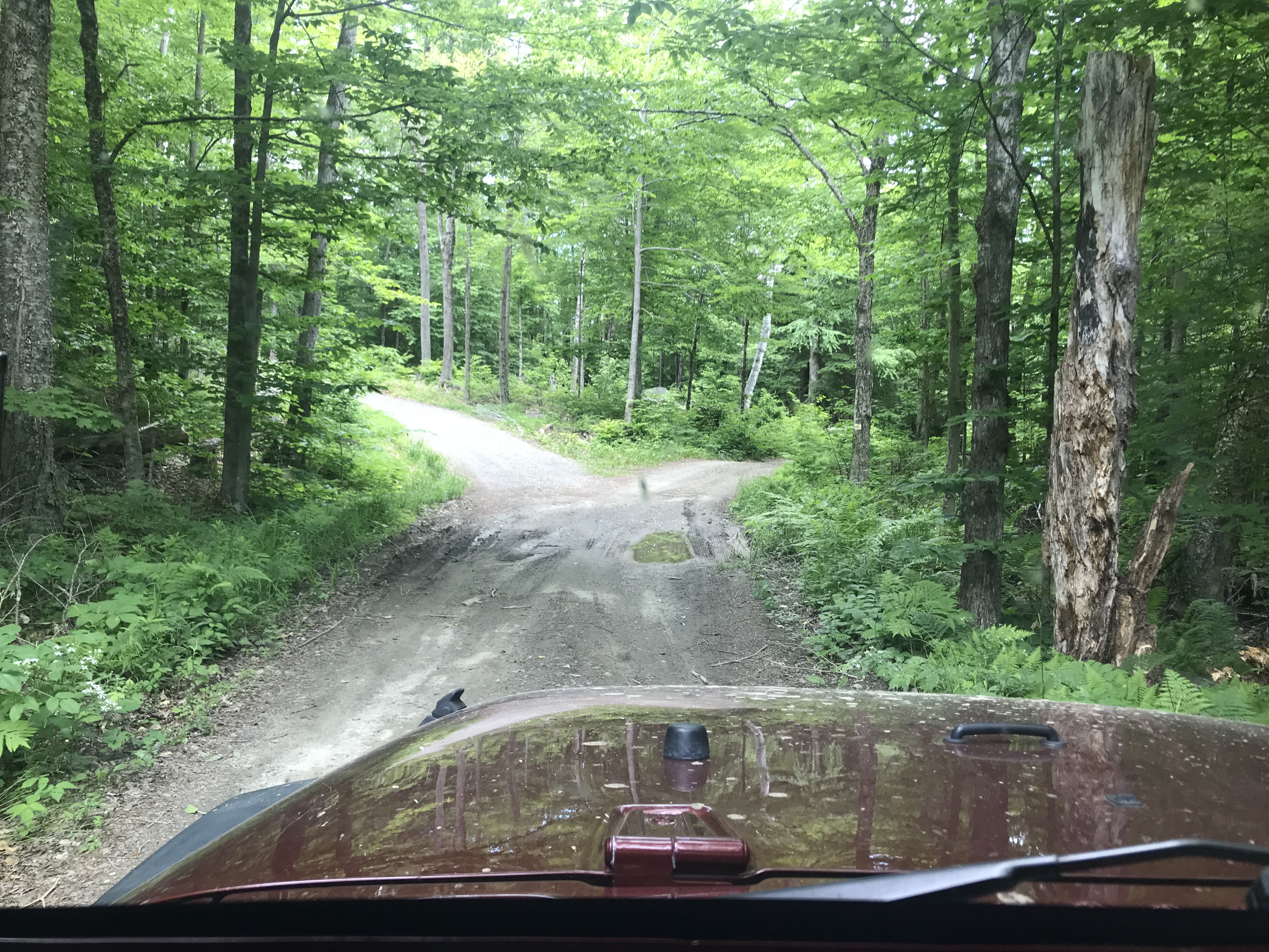
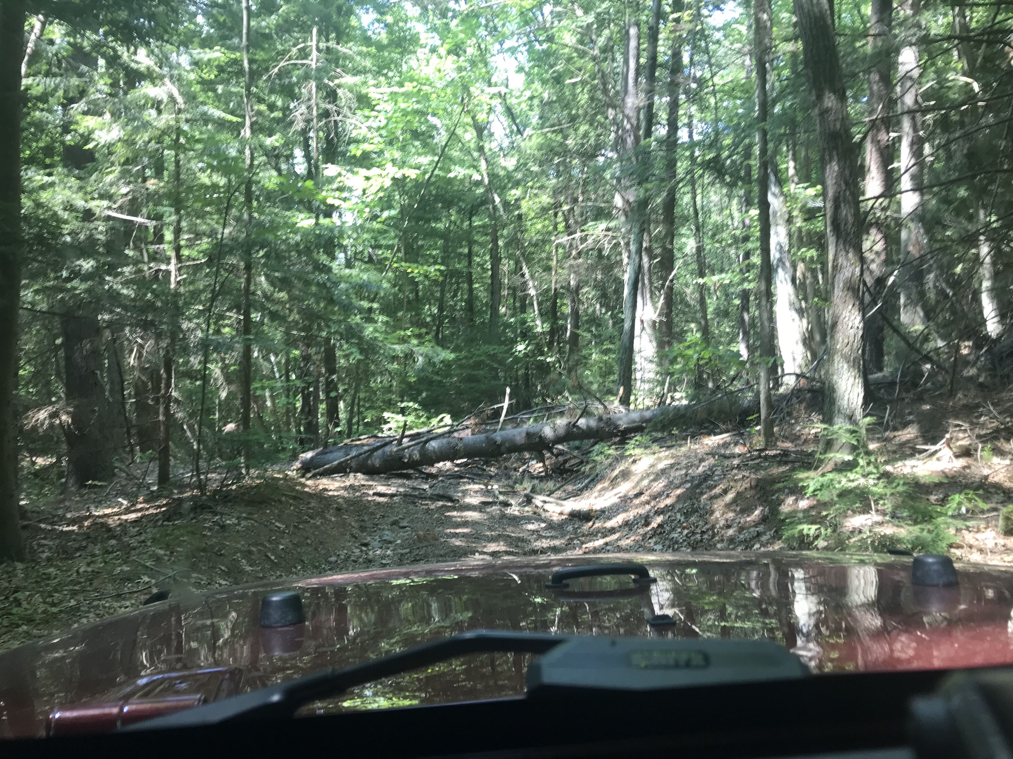
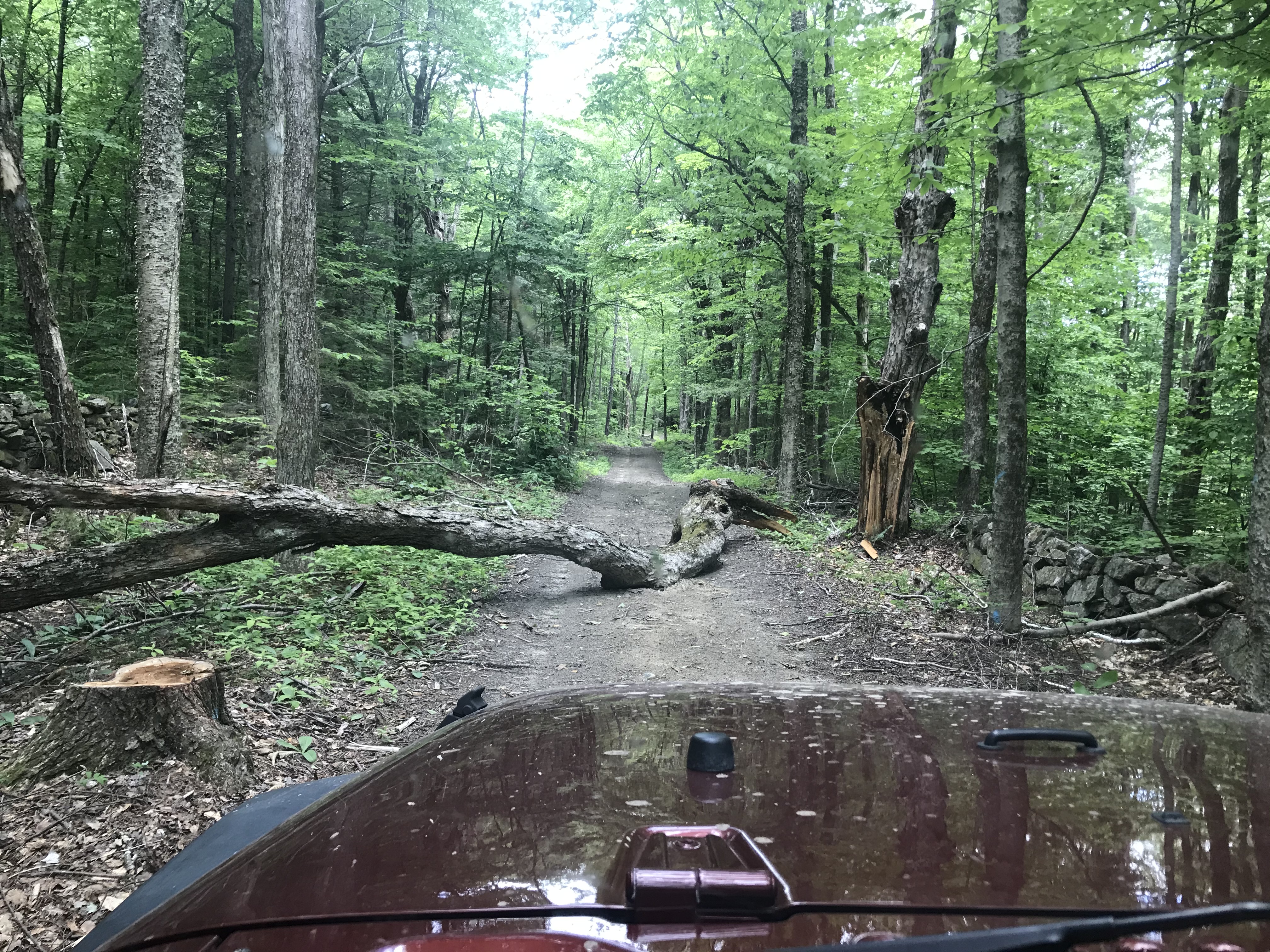
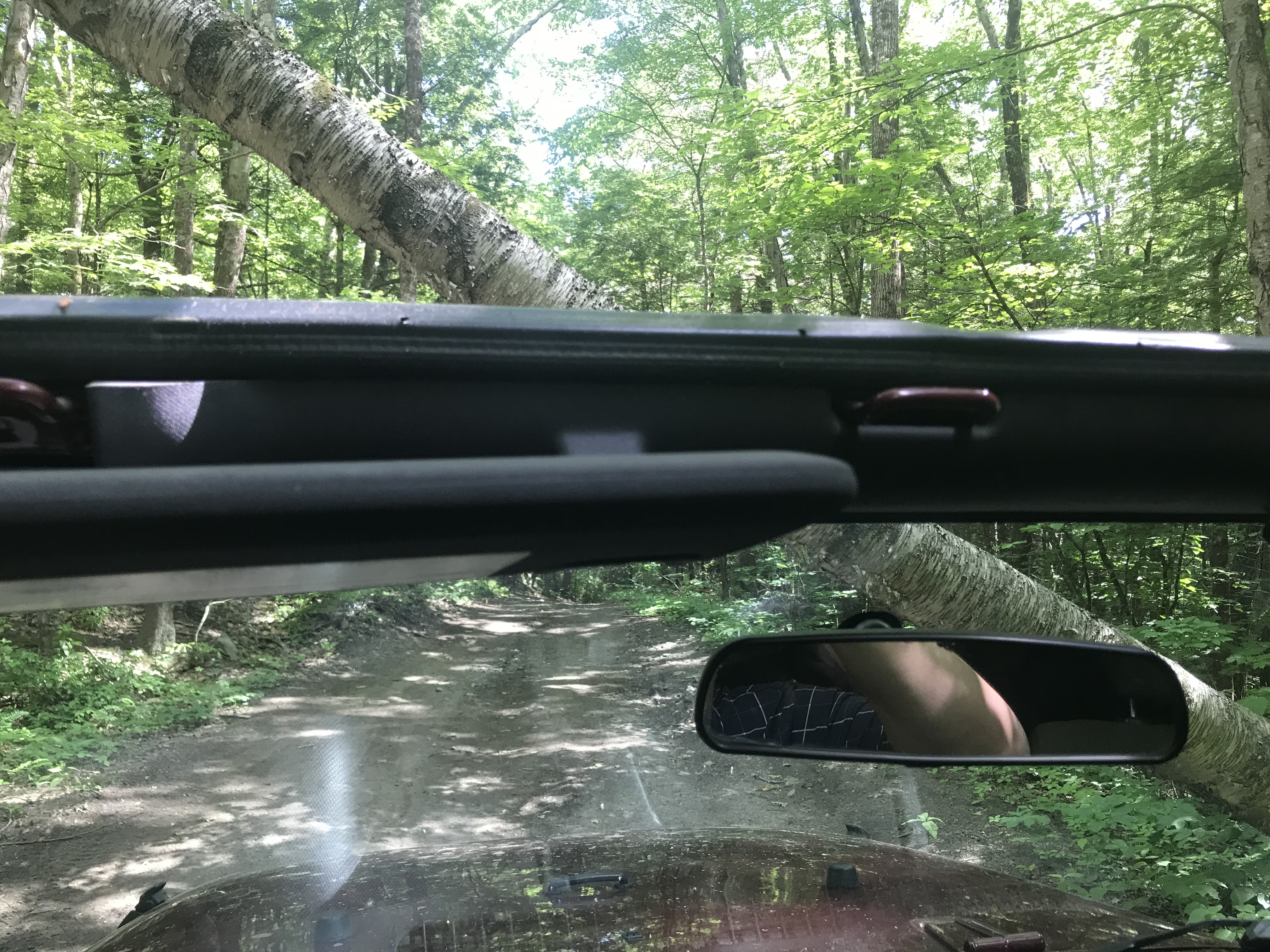
Guess I should've taken the other fork...or get a battery chainsaw.


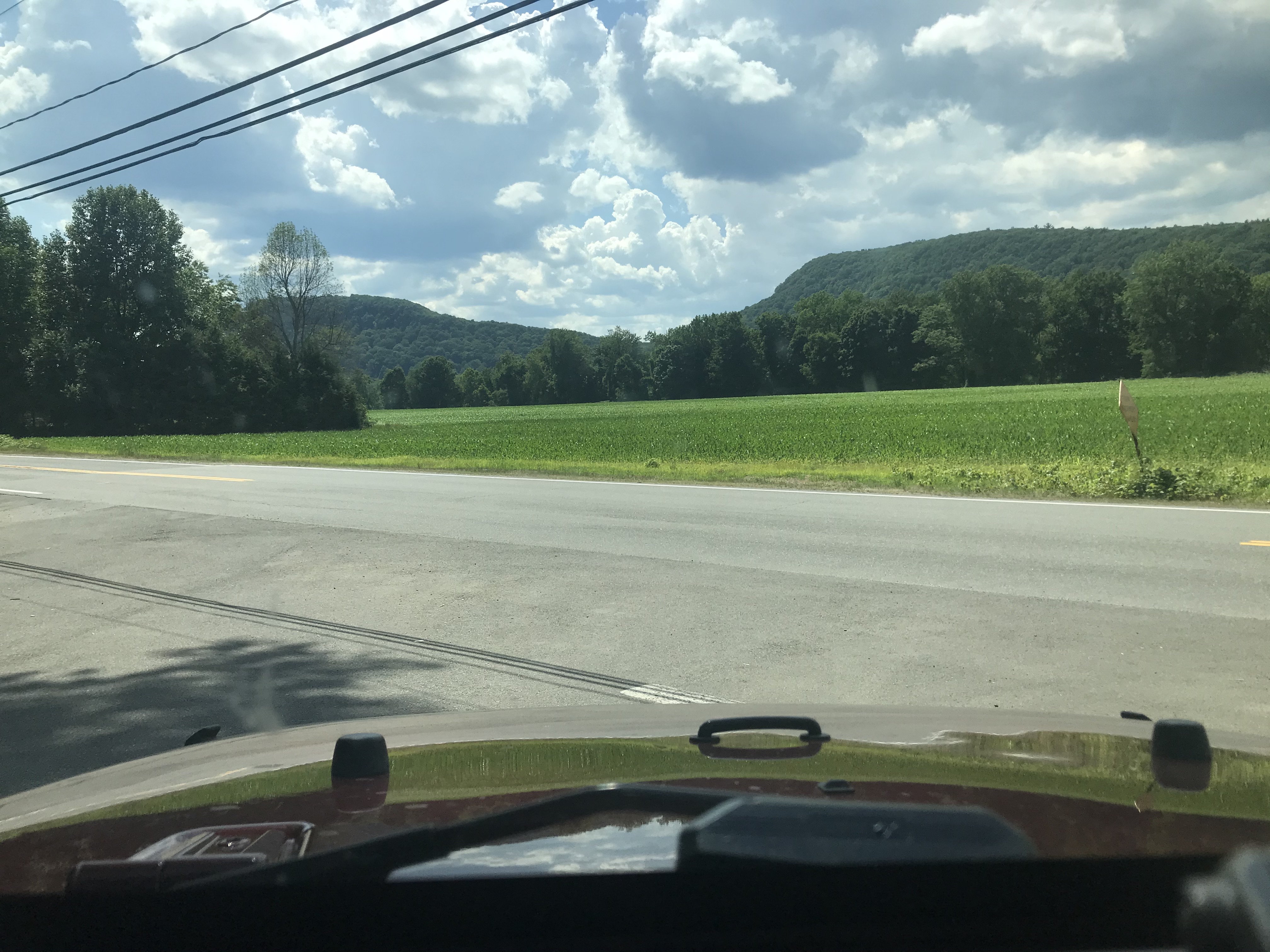
Hawley, MA nearing Ashfield.
Ashfield, MA
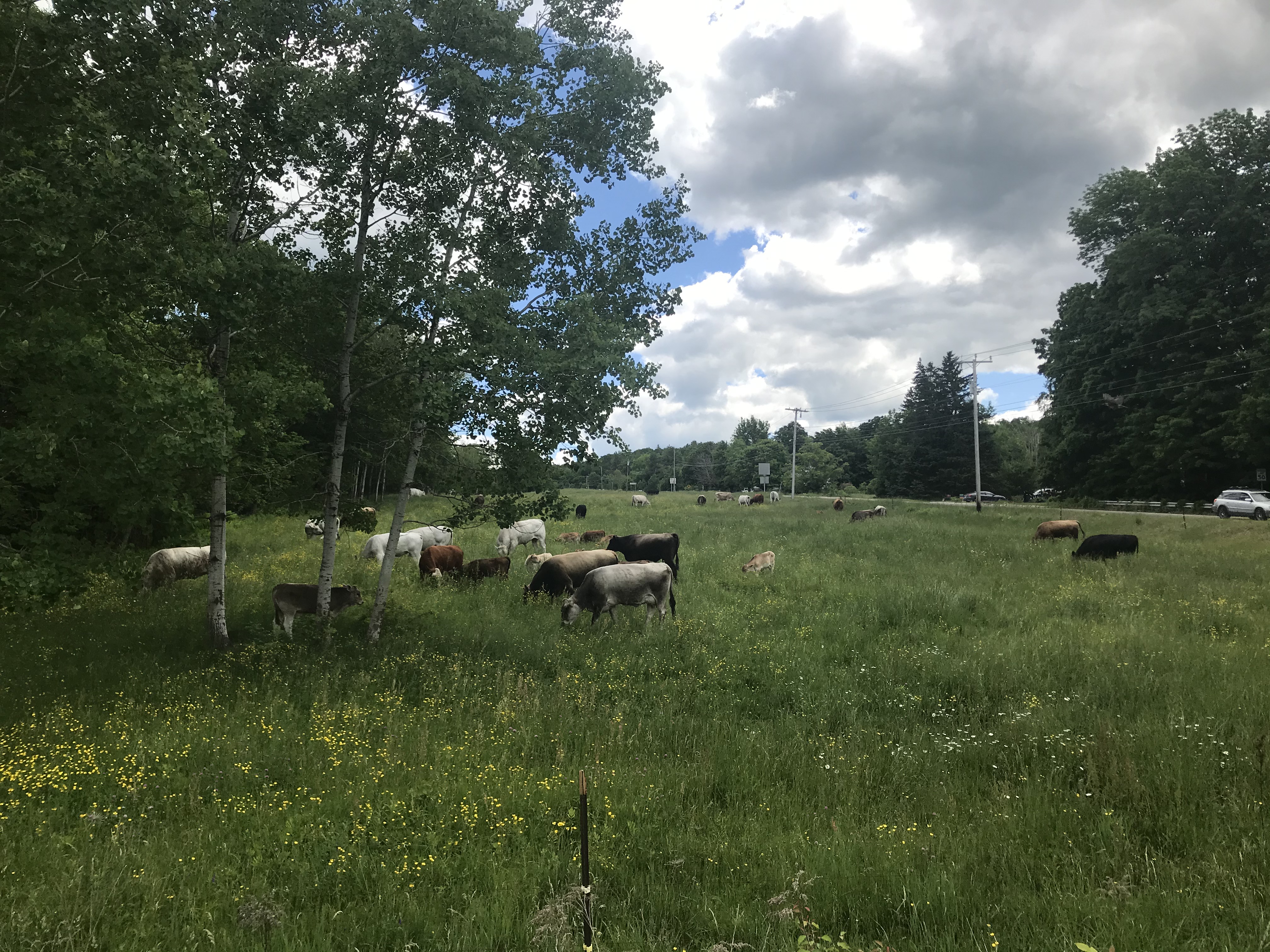
116 & 112, Ashfield...that is probably the most mixed up breed and age herd I've ever seen in New England!

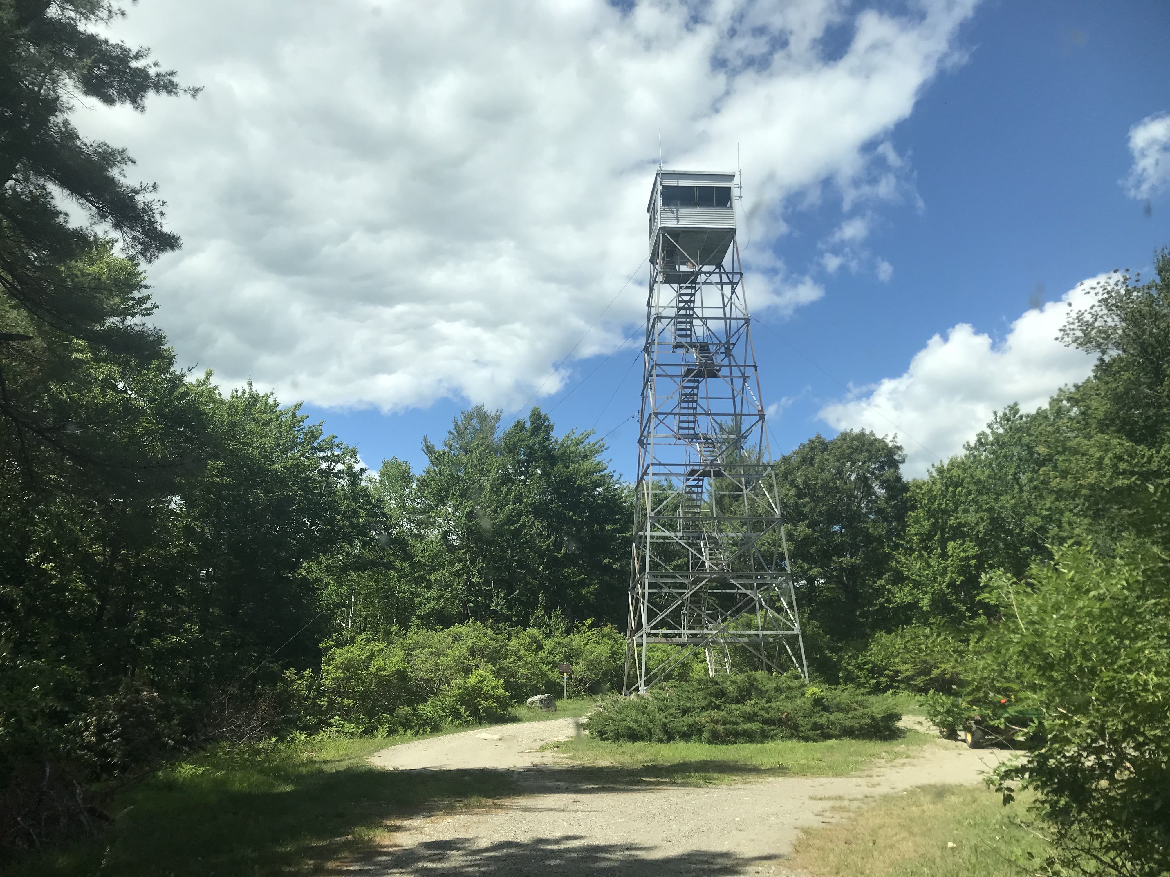
Couple pics from DAR State Forest

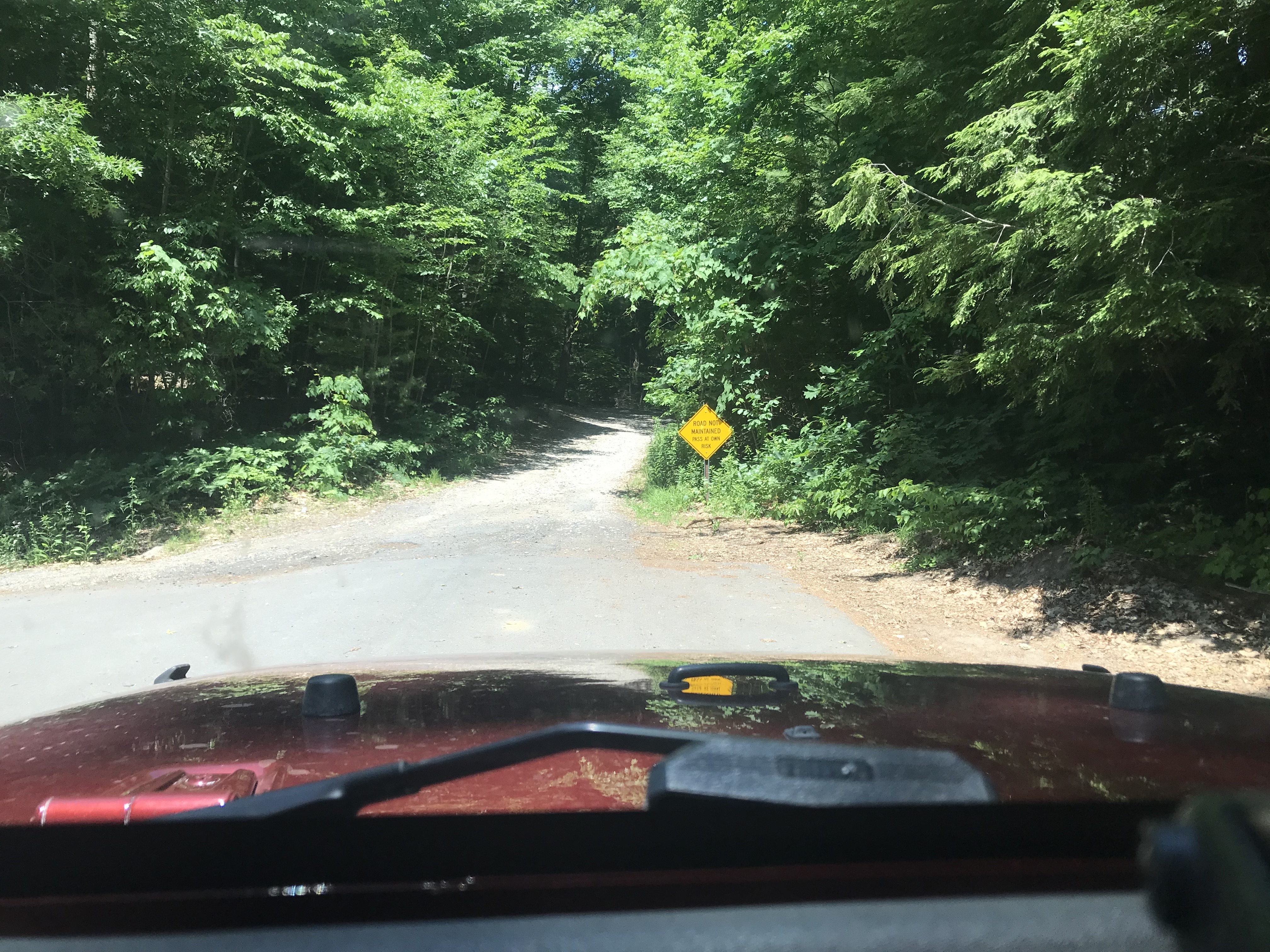
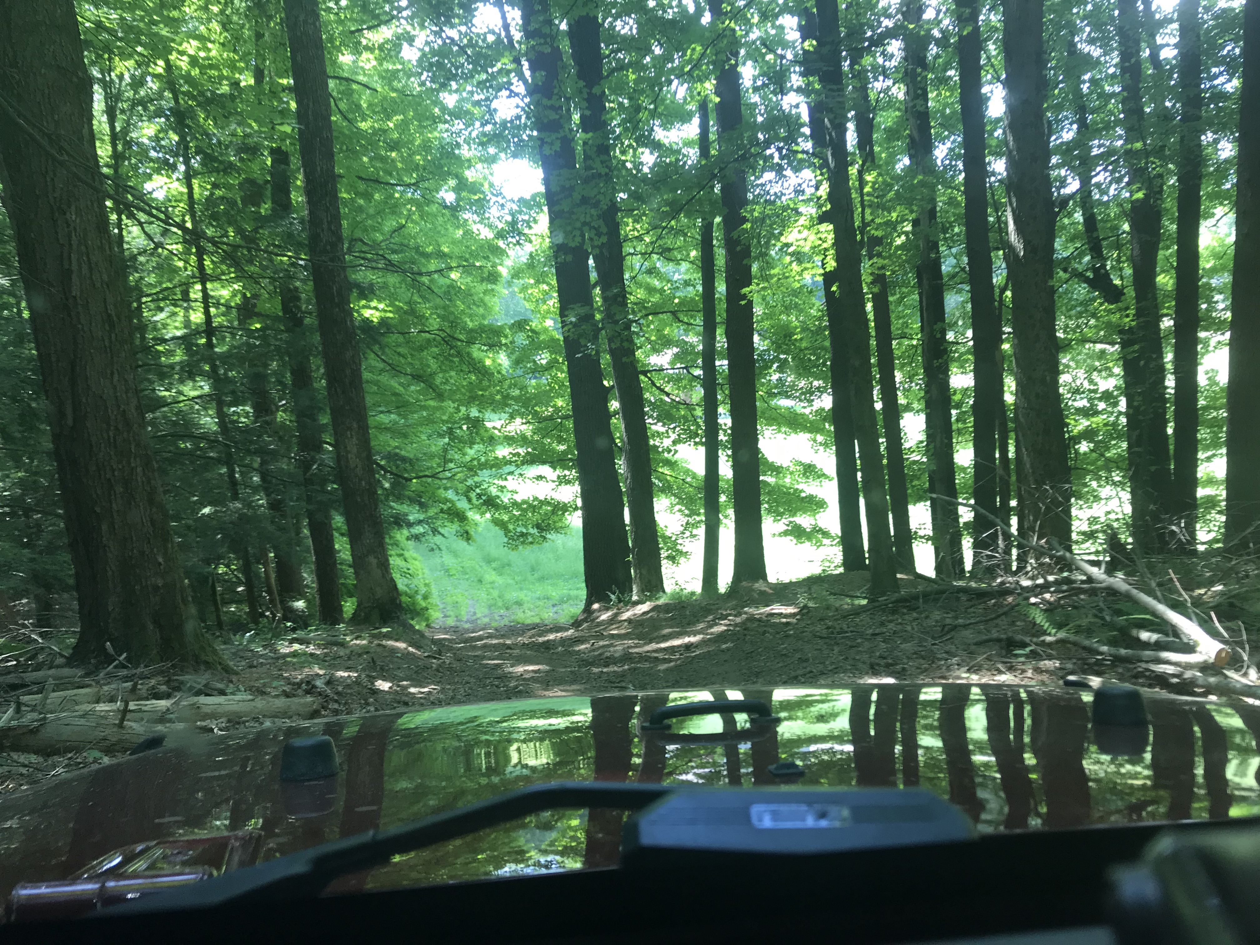
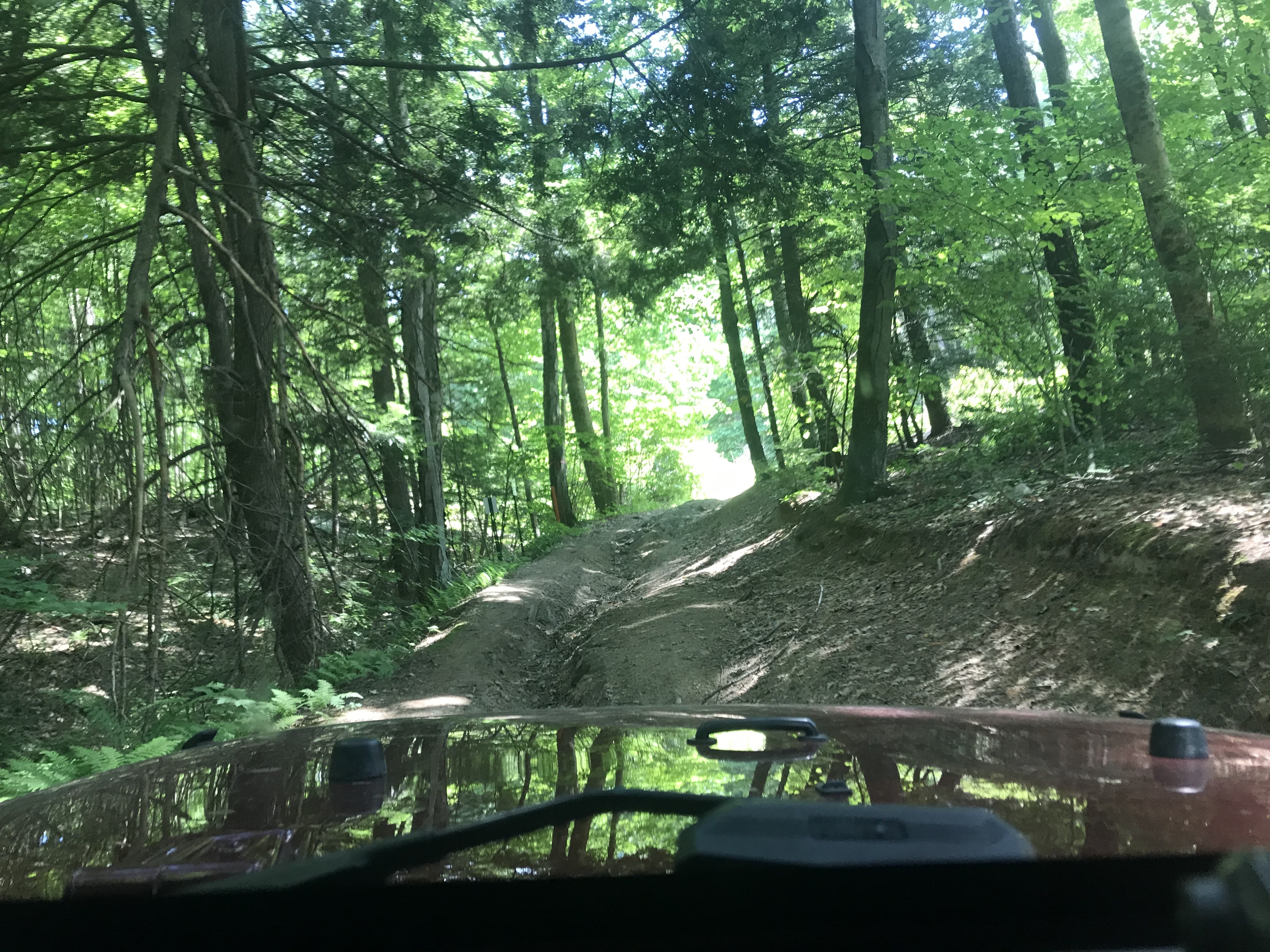
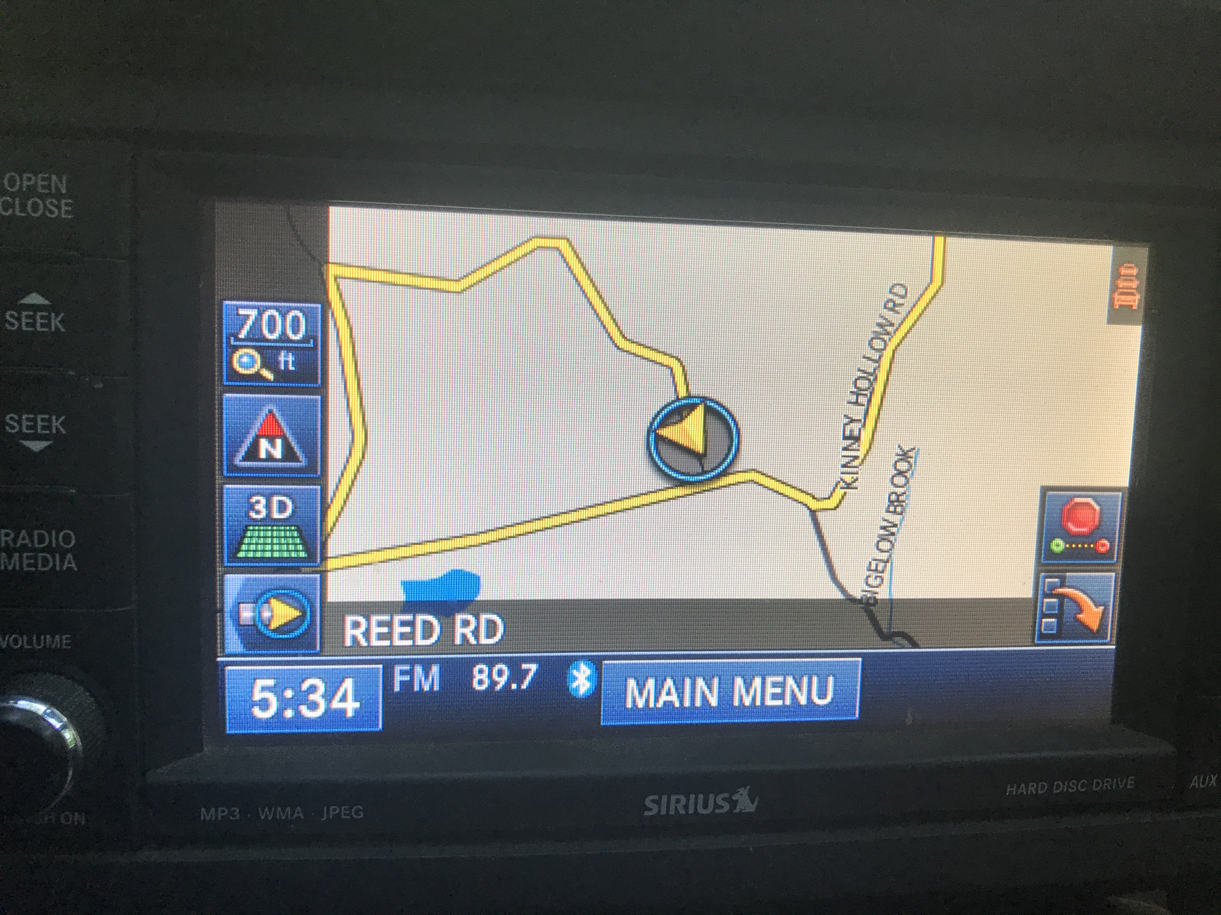
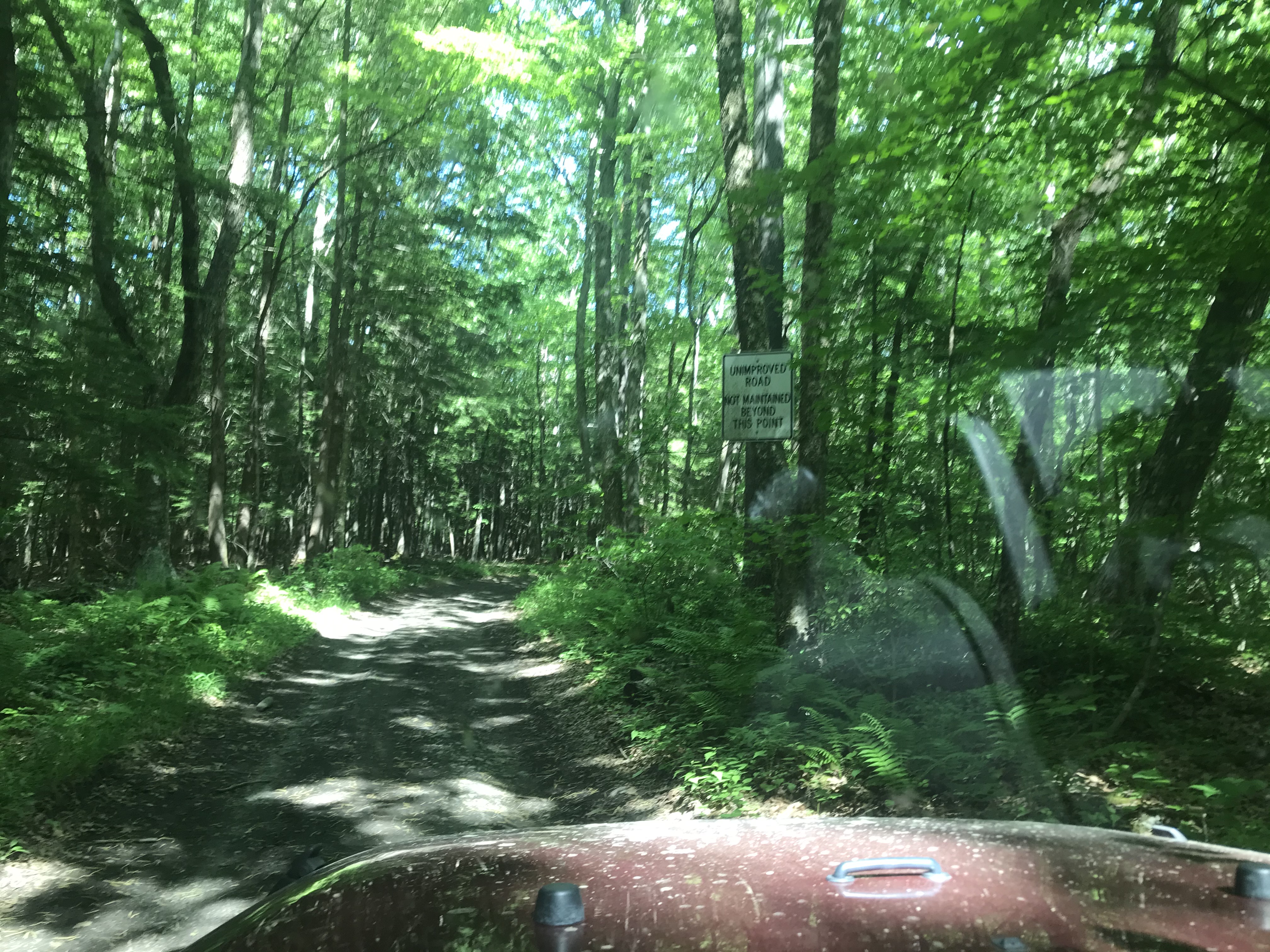
Now back somewhere around Hawley, I looked at the DeLorme Atlas wanting to avoid Northampton, didn't want to go too far north either, picked out a route on the map that just looked like regular town roads. Oh, about 45 minutes later there was one section I shifted into 4-Lo for control crawling down the washed out road :D


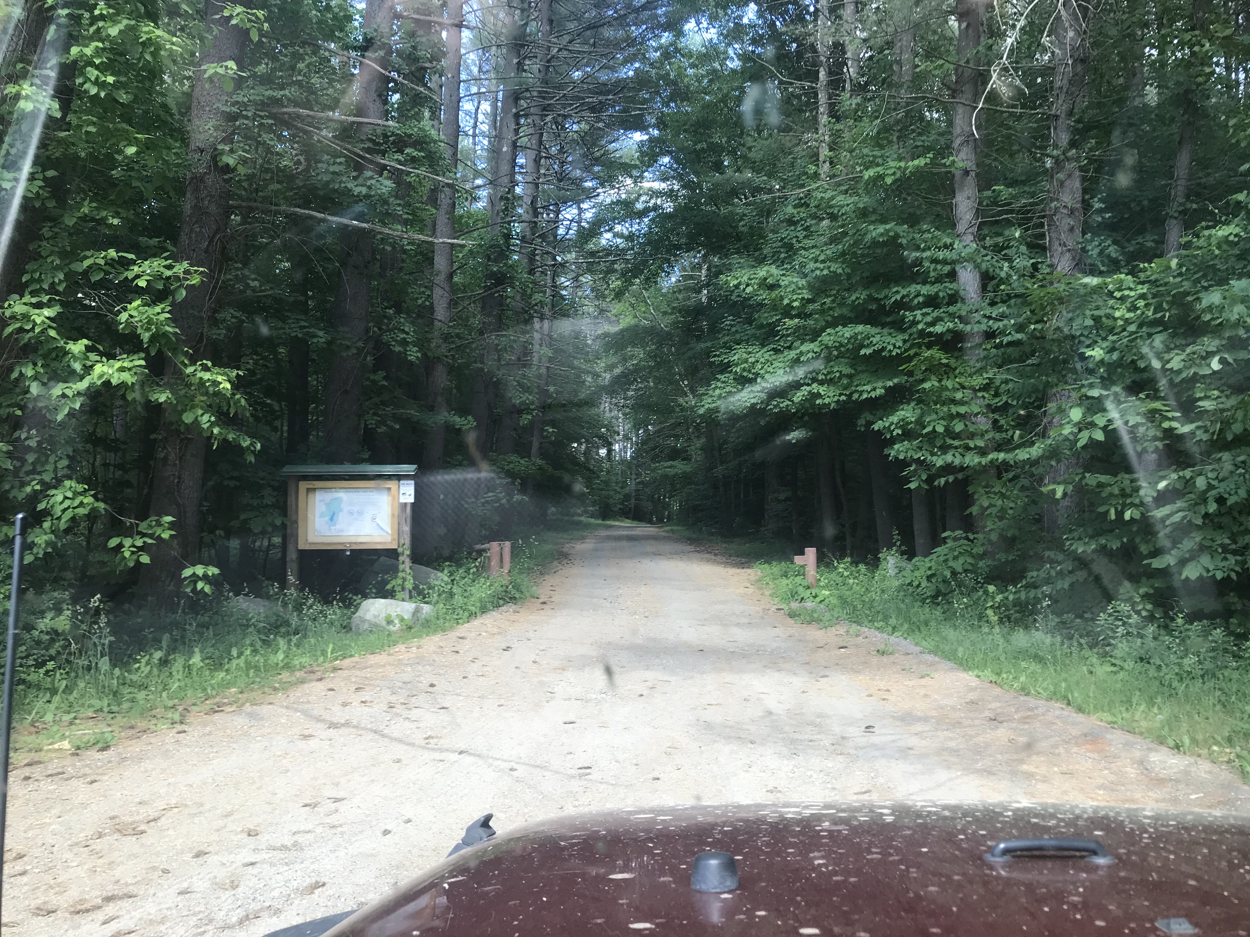
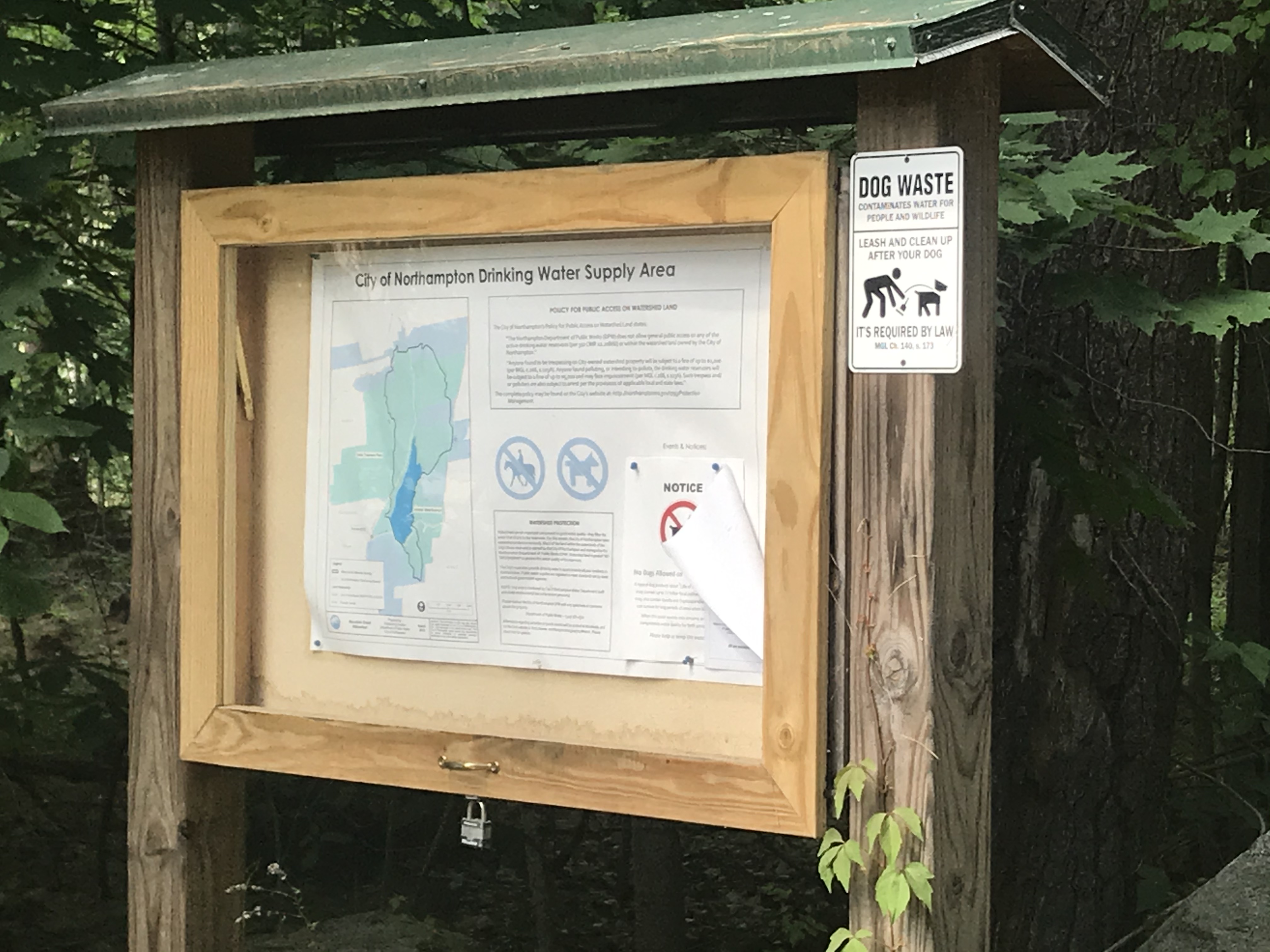
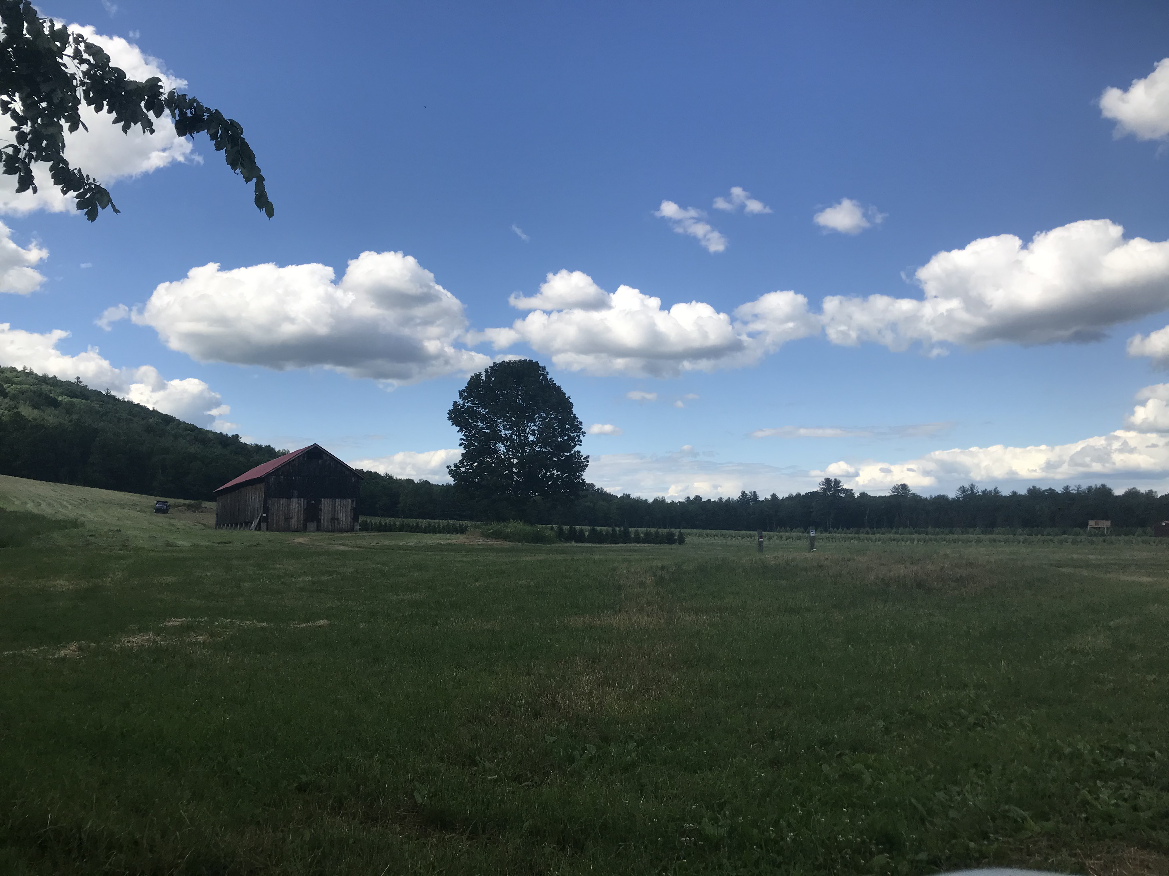
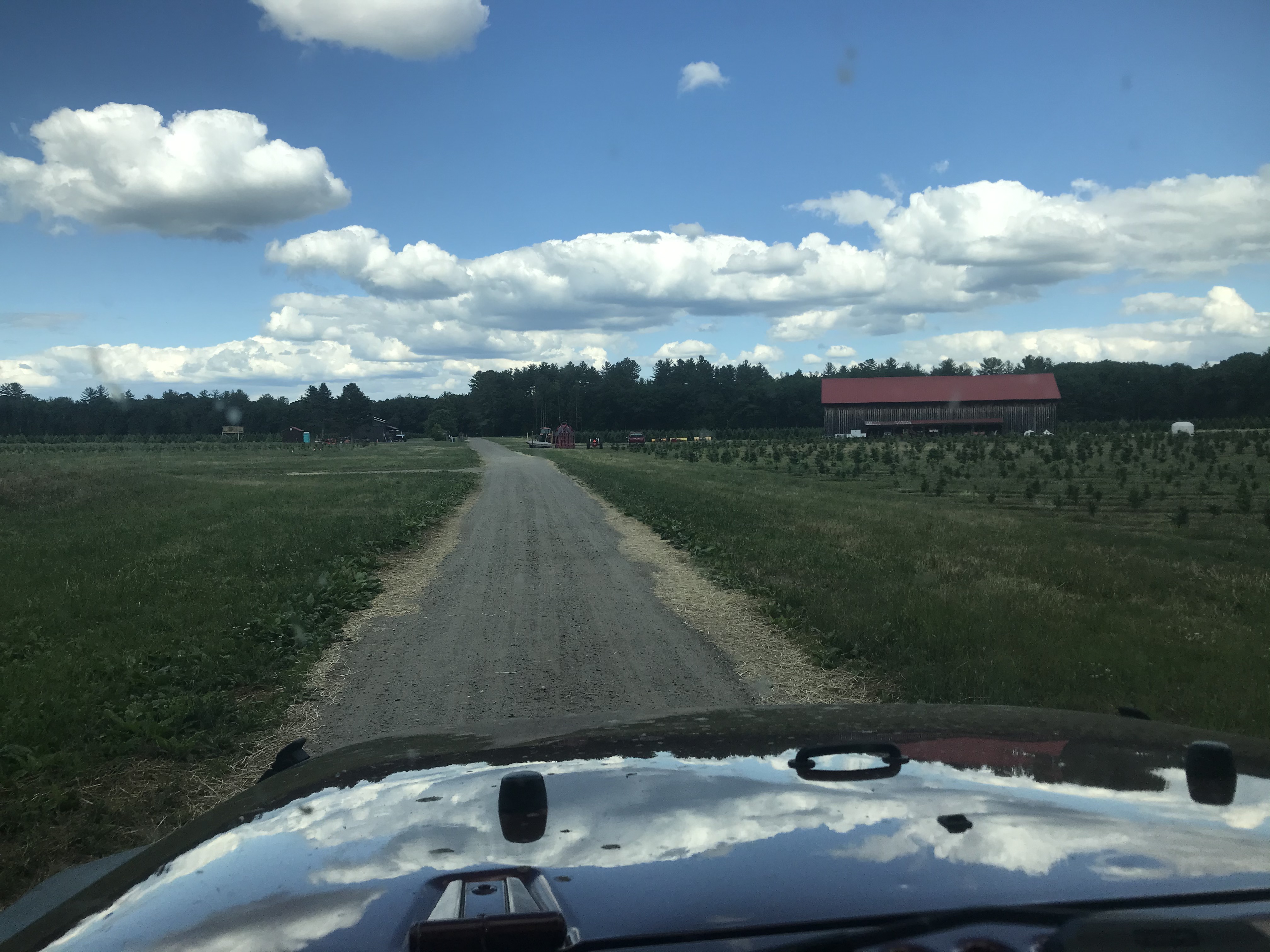
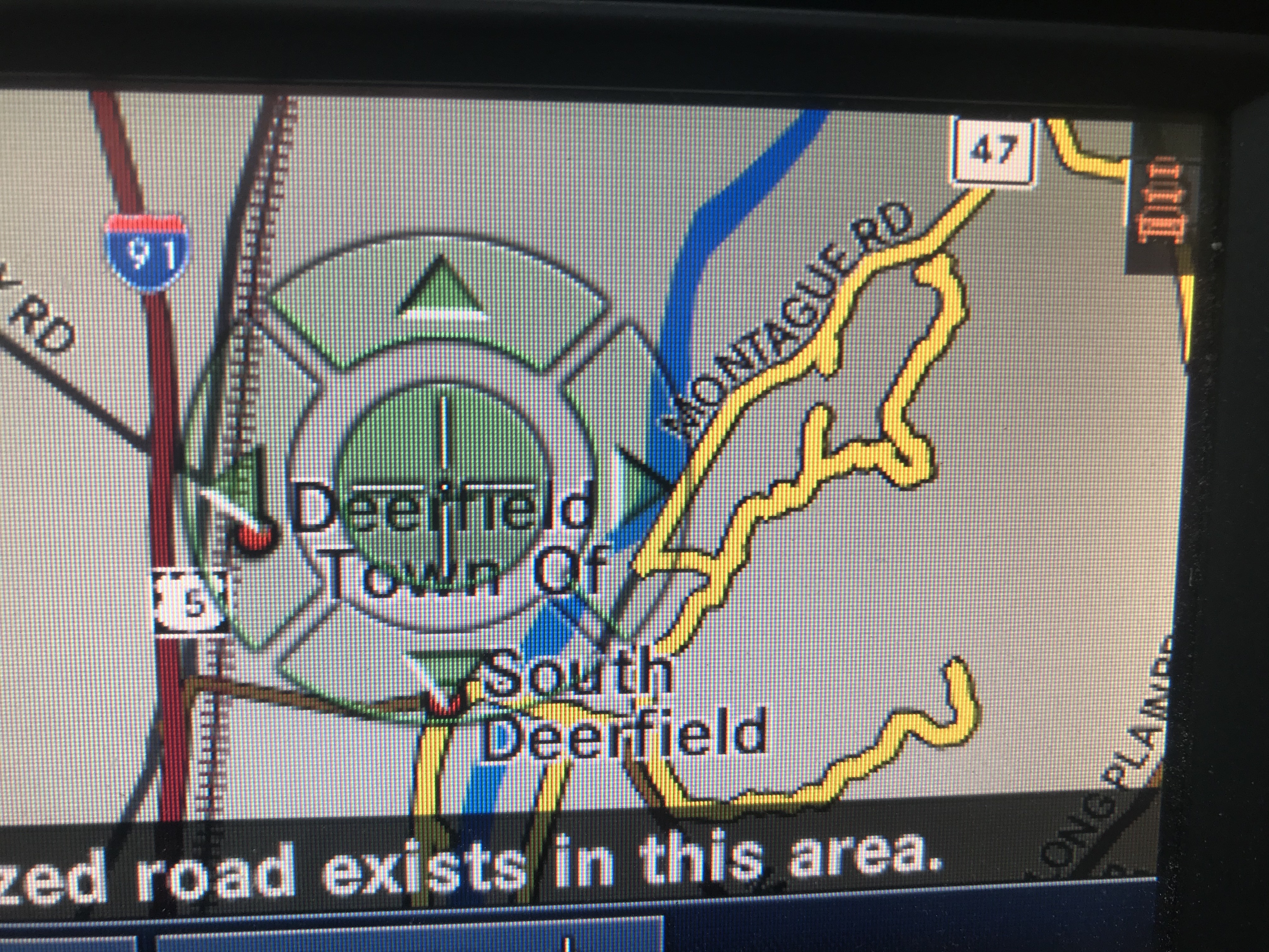
Coming out on the other side...it was at least Northampton & Hatfield water supply lands, mixed in with who knows what else. Wasn't expecting a tobacco barn in this little hollow! Still had another ridge before I'd be in the Connecticut River Valley proper.

Thursday and Saturday Jeepin'

...got a lot of pics to catch up on but we'll start with the latest adventures :)

Thursday snagged Eric & Missy and went out in the Burrillville/Thompson area for 10 miles and 2 hours off road:

Came over the top and all three of us basically exclaimed, "Holy Fracking View!" at once!


Suppose I should clean the week worth of adventures off soon...and yes that is a stick stuck in my fender :)


Saturday was time for my annual run for Strawberries from Hatfield.

After the dump, bee-bopped up through Eastford, took Boston Hollow & Nagy Road through Ashford, think this is South Road in Stafford:

'twas a gorgeous day. I put a retractable sun shade on the Jeep to complement the top that flips back and it works awesome. High 80s pushing over 90 at time and I never had to put the top down for shade. Going through Ware.

In Hatfield (or town north of there?)...I don't know what it is about farm fields I find relaxing.

The object of my obsession.


I managed to get to Smiarowski's just as it started to rain (had driven through wet roads already but just after one shower passed)...flipped the top down before I got the berries.

The size of this turn-of-the-20th-century school house always impressed me; there had to have been many large families working the farms in the area to justify this. Looking for a good place to open the top again, too. :)

Let's see where this goes...Sunderland. Saw it in my Delorme map book and decided to check out the area.
Meh, video didn't come out the best. Probably best if you skip to about 13 minute mark :)

Well turned around and finished that trail, though I didn't explore some of the trails off it...let's check out this road a bit further north in the same area!

How bad can it be?

And while it wasn't bad at all (especially dry as things are right now), this car must've turned around not too much further up. There was only a couple places you really needed a Jeep; well plus a couple places you'd be backing up a loooooonnnnng way if you didn't have a Jeep to do the three-thirtysomething-point turn at.


Well, huh. First time (at least in a very, very long time) I've ended up in someone's backyard. No obvious way out, no one around to ask what the toll to drive through the hayfield is. Guess I'll turn around and try that other way...

Did I mention turning around on the trails? The other way, that maybe did lead to the road, was blocked by a tree.

Ok, well I'm about half way back out, let's try this trail which looks like it gets out to a road too.

You know this is the third or maybe fourth trail blocked by a tree I've hit this week. *sigh*. I am going to end up with that battery powered chain saw, aren't I?

Welp, back out to civilization!

Came in from the other side to see if there was a gate; there wasn't but the road was going to get rough and I had a good place to turn around before getting to the tree.


Video was shot on the trail on the south of this image. This last trail paralled 47, you can see the little "Y" at the north side where I came into a backyard, and the gap where the tree was ().

I just done got a knack for finding these :)


The DeLorme says it's a road. Assessor maps and some mentions in the press say it leads into Cowles land under conservation easements. Oh well, but I'm still curious to see the gate.

Coming home via Union / Kinney Hill Road...you know I haven't done the Hillside / Reed Road loop in years.