Hmmm...it may be time to take the antenna off :)
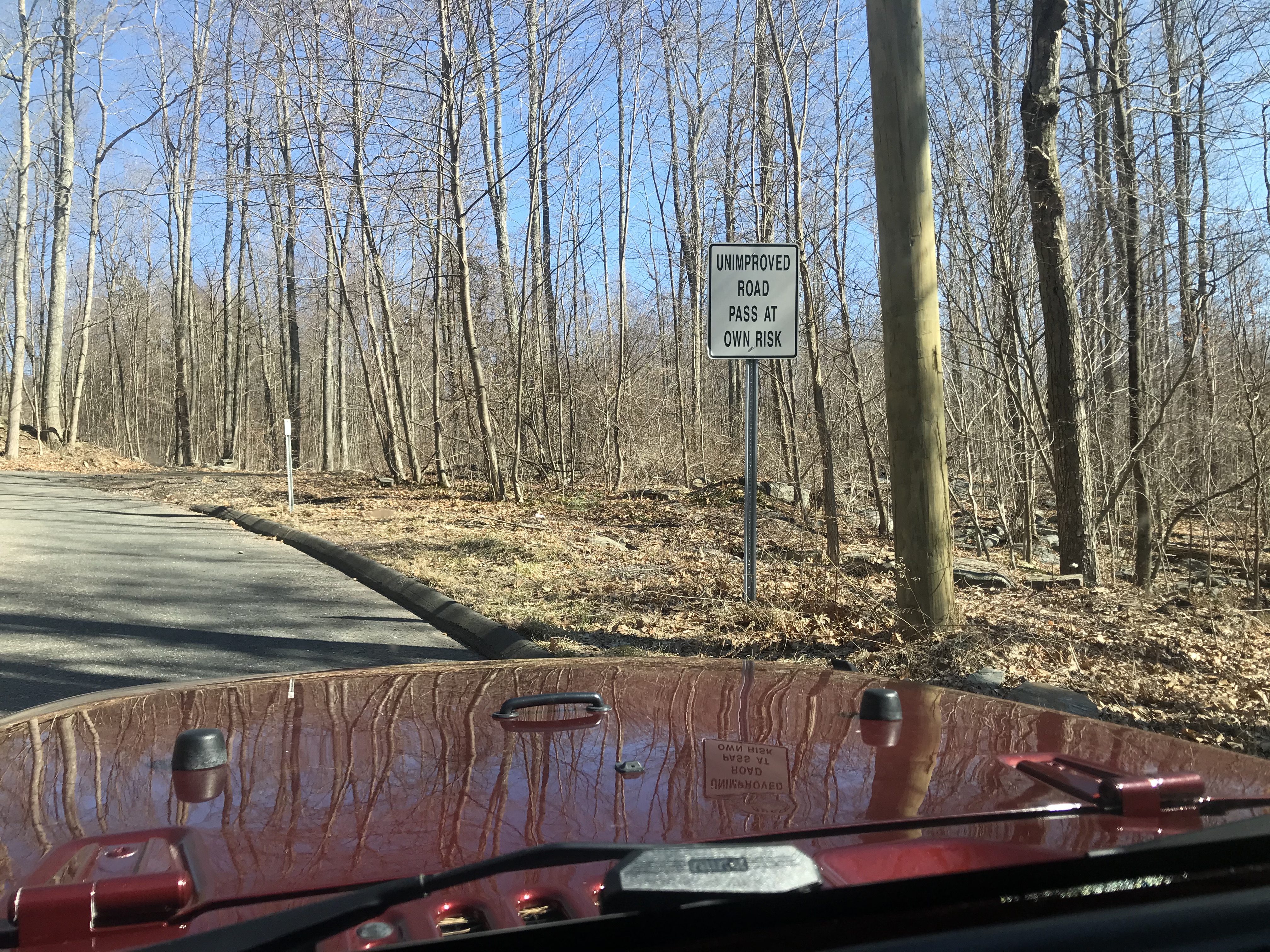
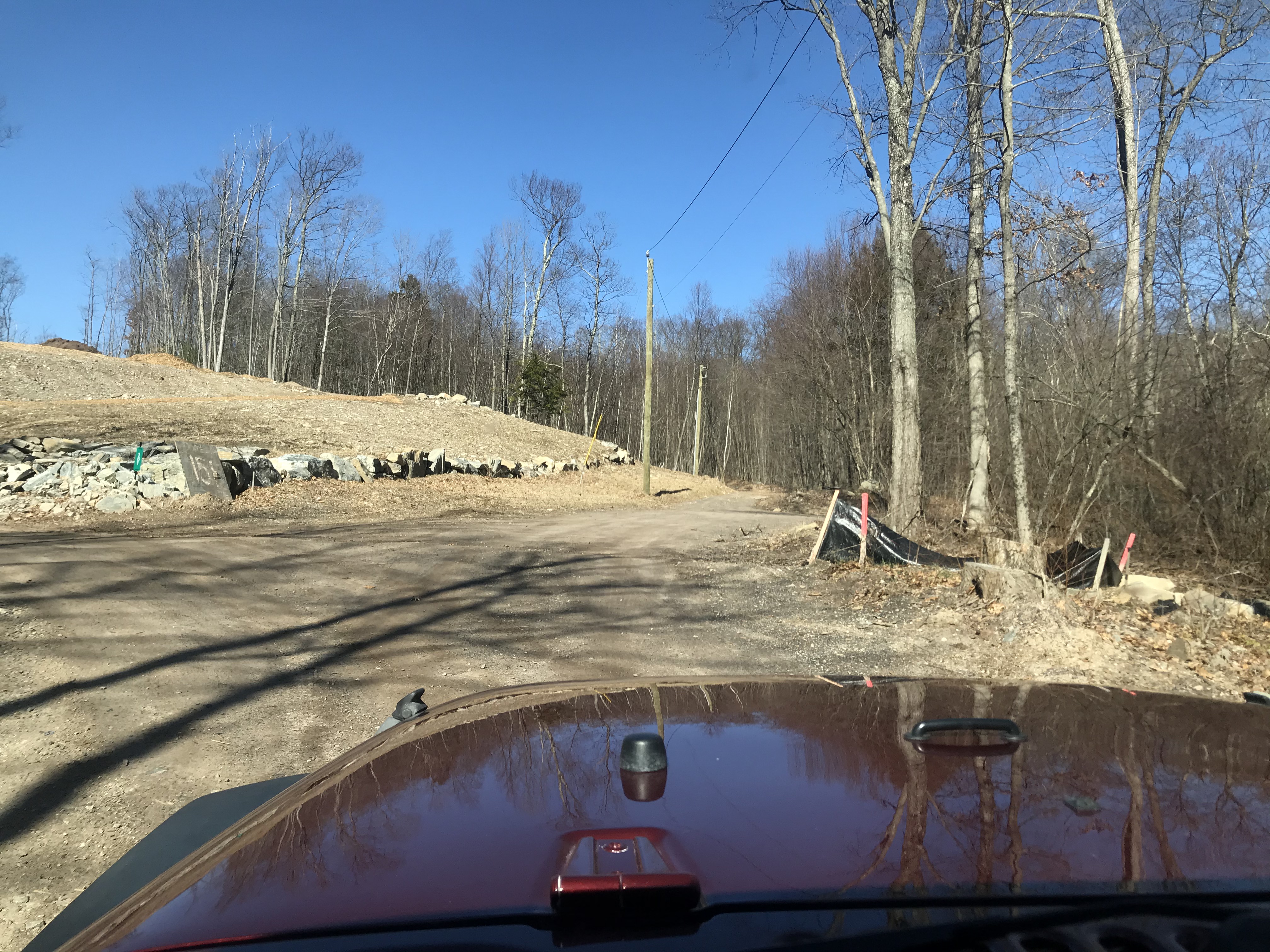
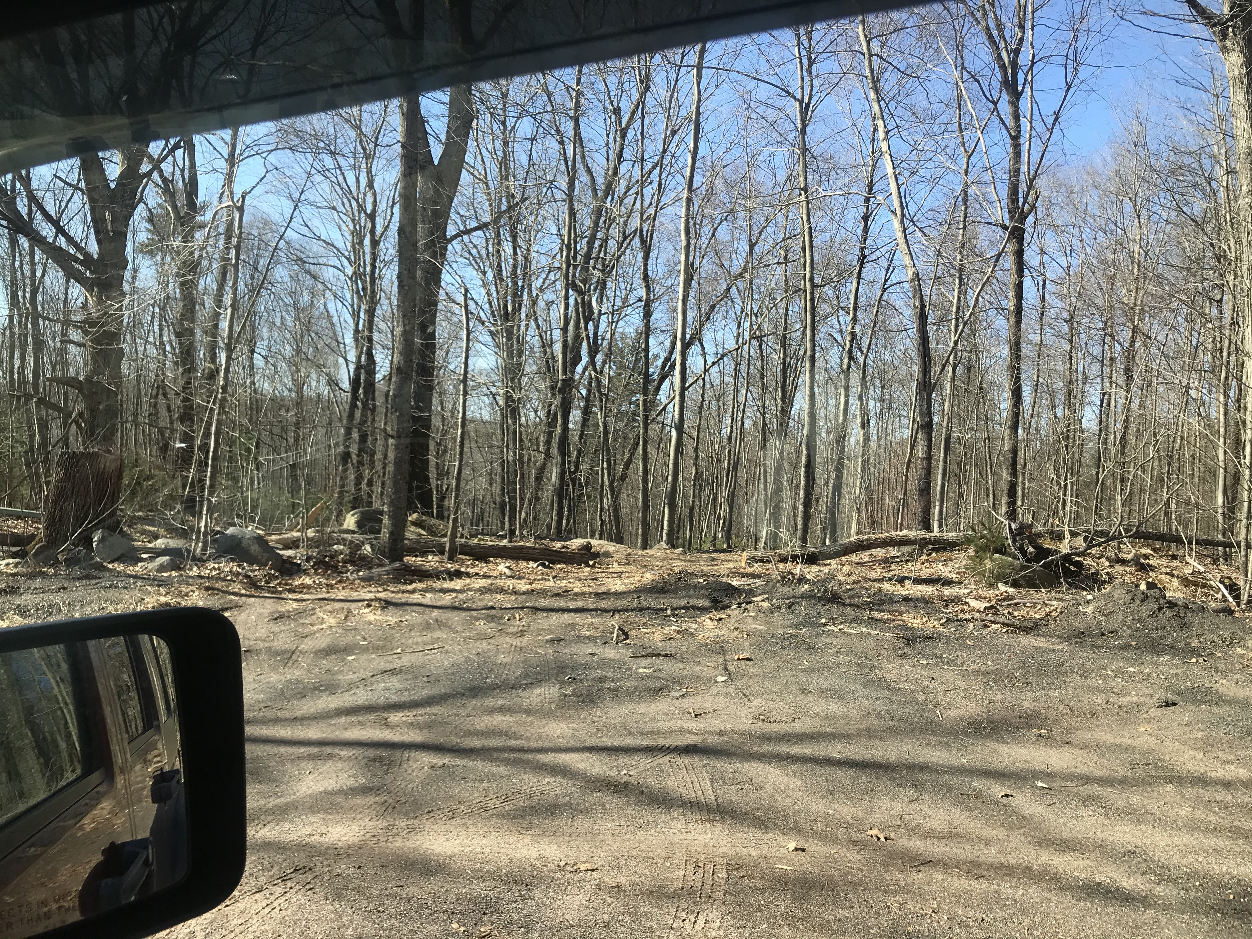
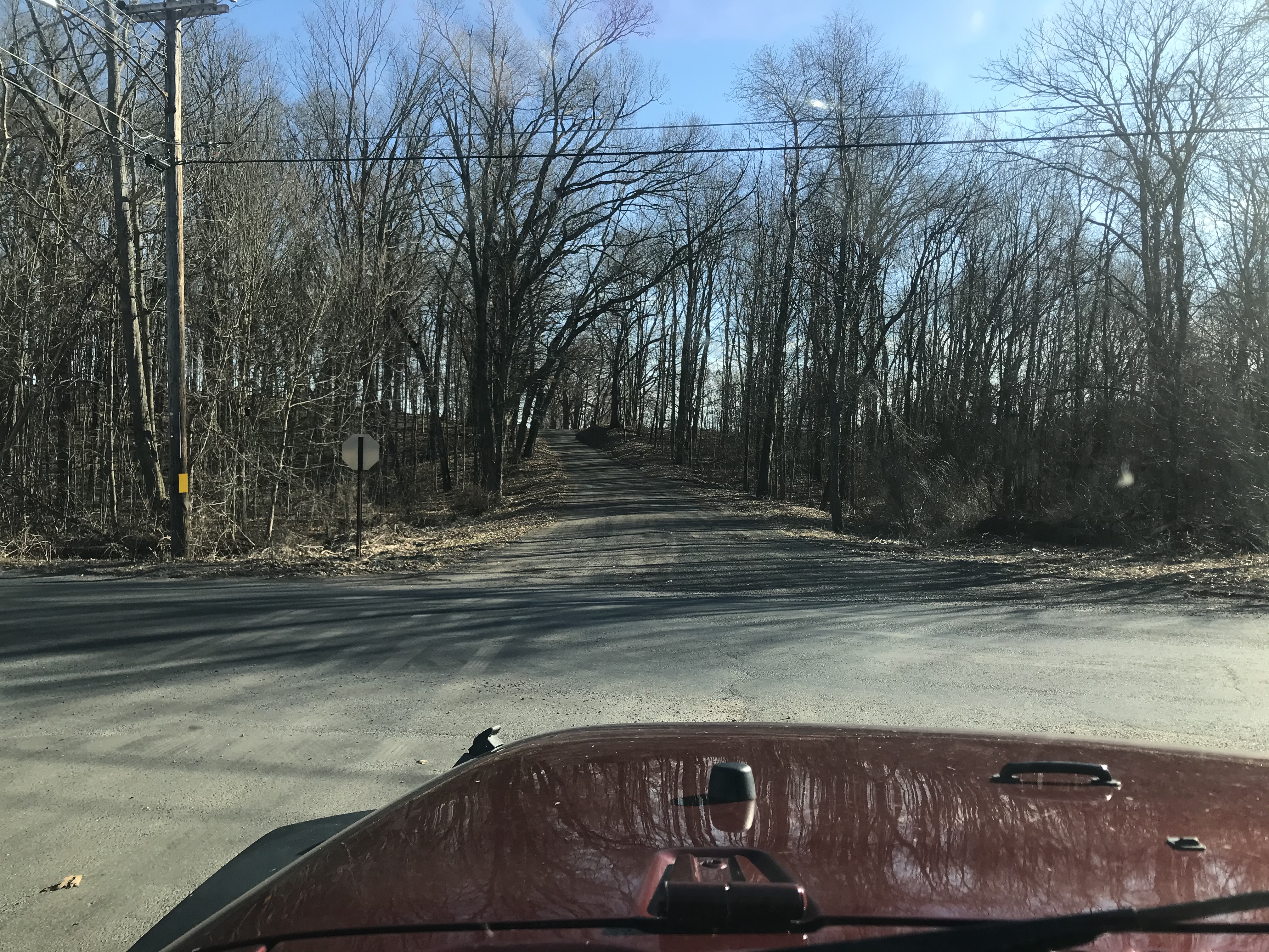
Ok, this is where I decided to not venture further. There *shouldn't* be a problem going through that, but without a winch or another jeep it would be bad to get stuck (or more likely hit a hidden rock wrong). My plan was to circle the block and come in from the other direction. Despite a couple different source maps that show were the road *used* to come out...either (a) I couldn't find it; (b) it is washed out and overgrown to the point of impassable; and/or (c) it has been re-routed through a hayfield. In any case, I didn't have anywhere obvious to try other than having to open a gated hay field :/
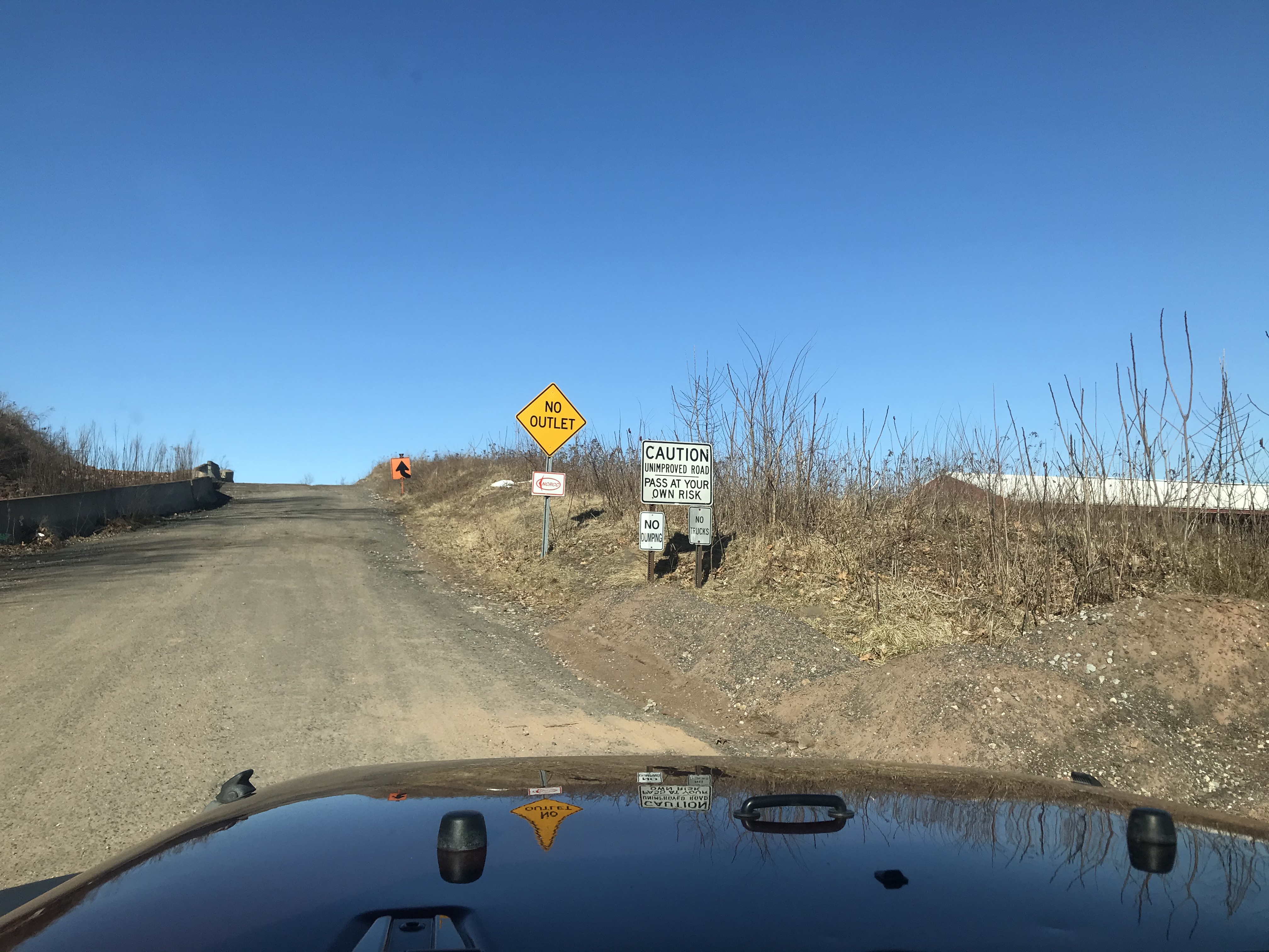
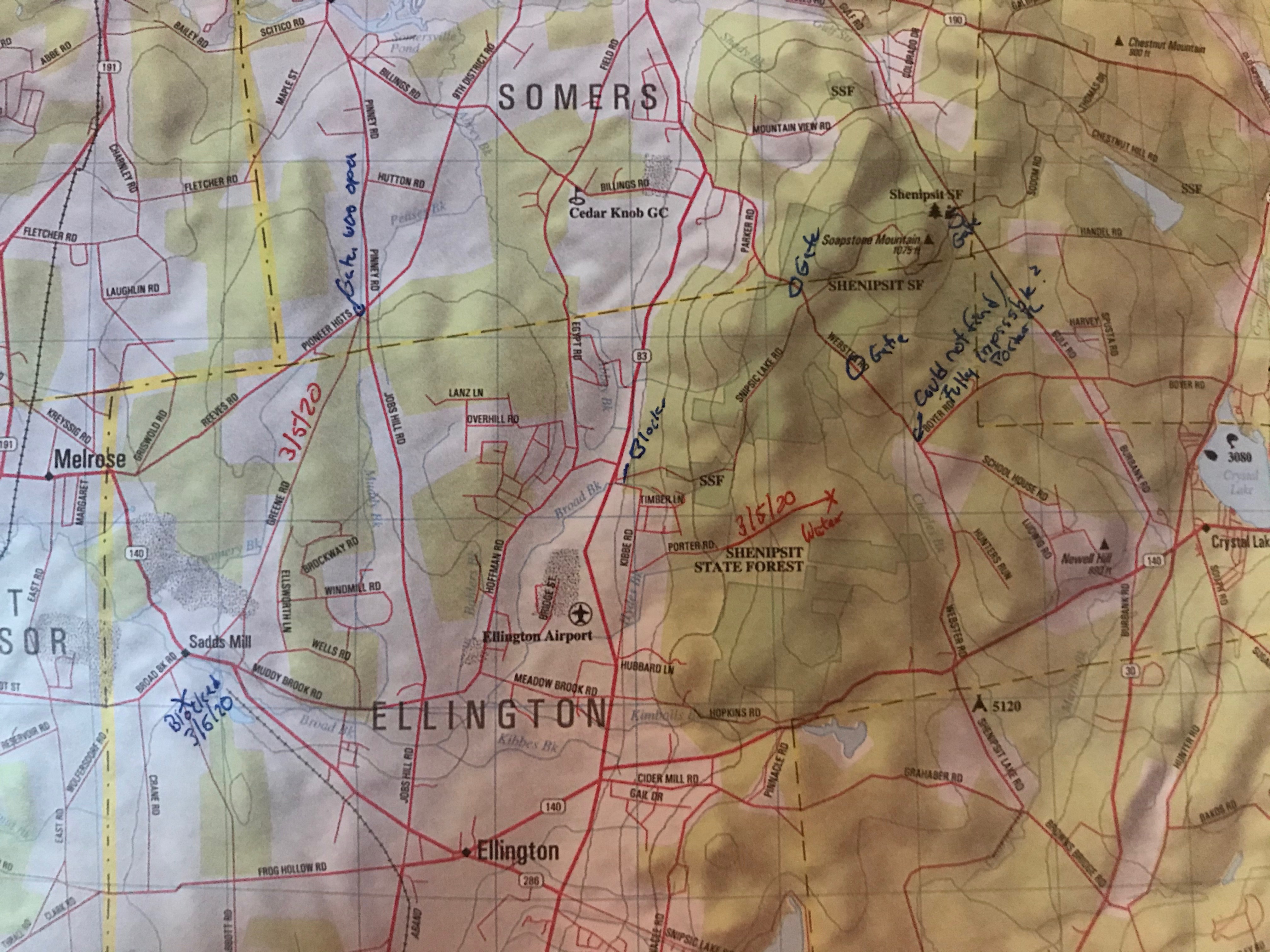
So going around the block, I find "Sykes Road" which alternatively listed as a state forest road on some maps completely blocked. This is where trying to figure things out gets interesting sometimes.
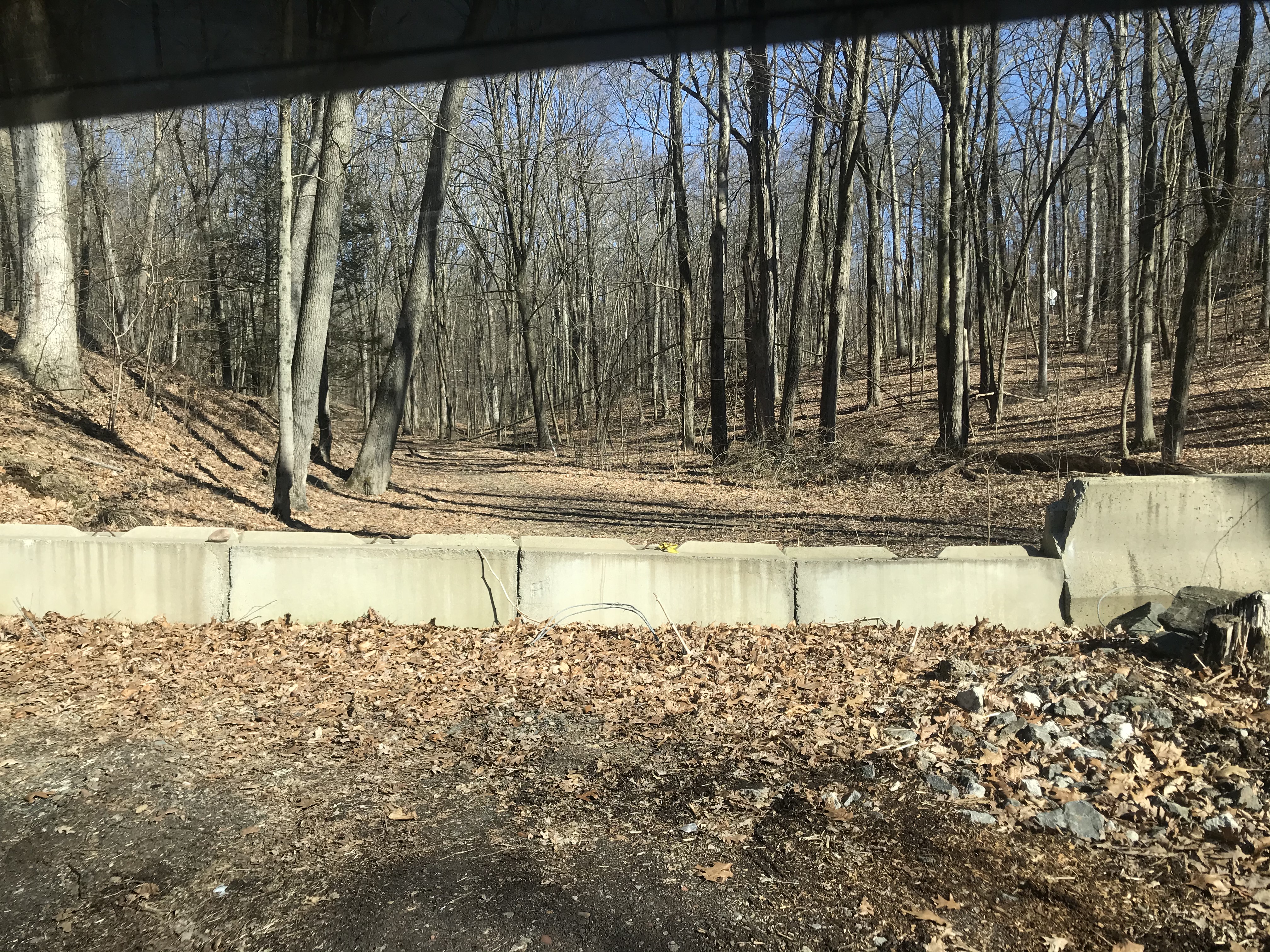
Blocking a road with concrete barriers is *not* typical of DEEP.
And the Tax Assessor's maps show this parcel is still privately owned -- so maybe it's just a discontinued town road and the property owner closed it? Sure looks like a hell of a well built road on the other side though.
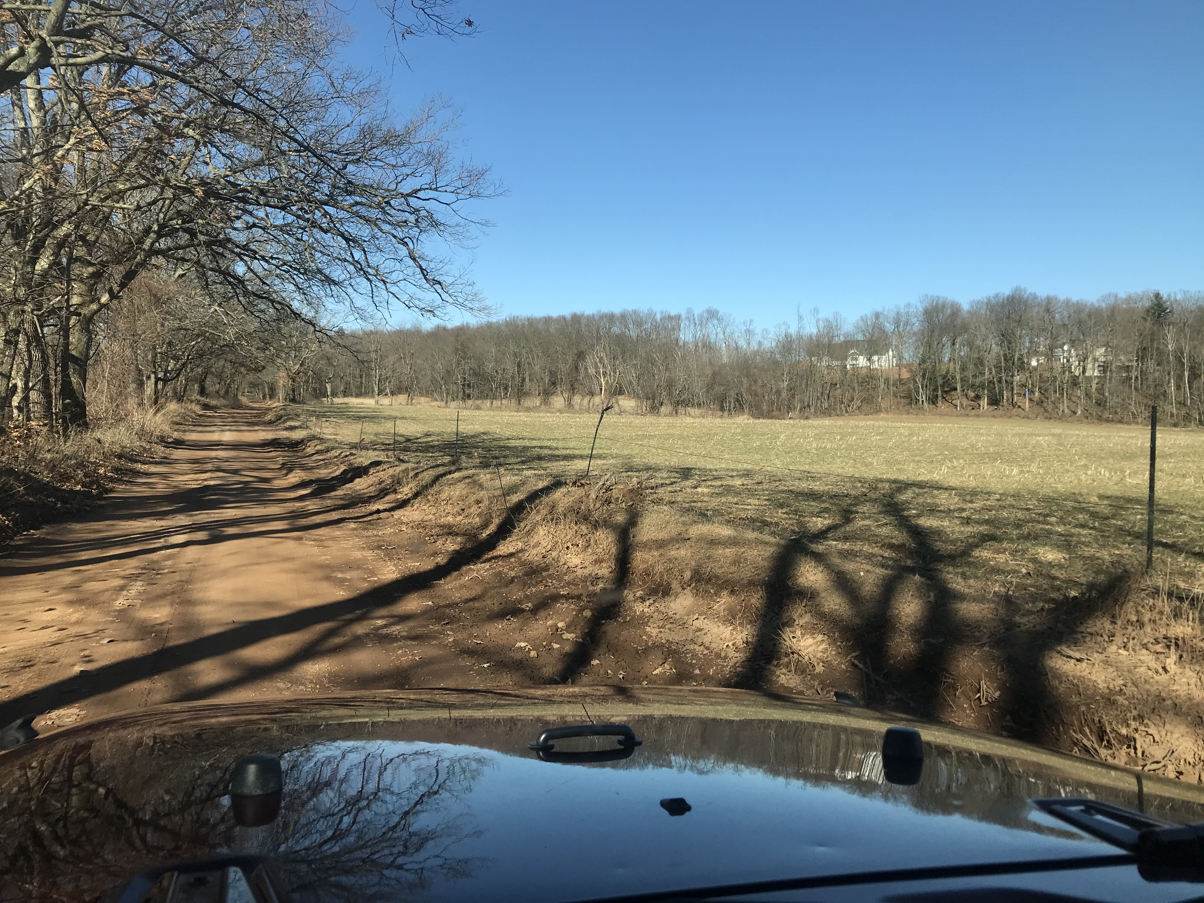
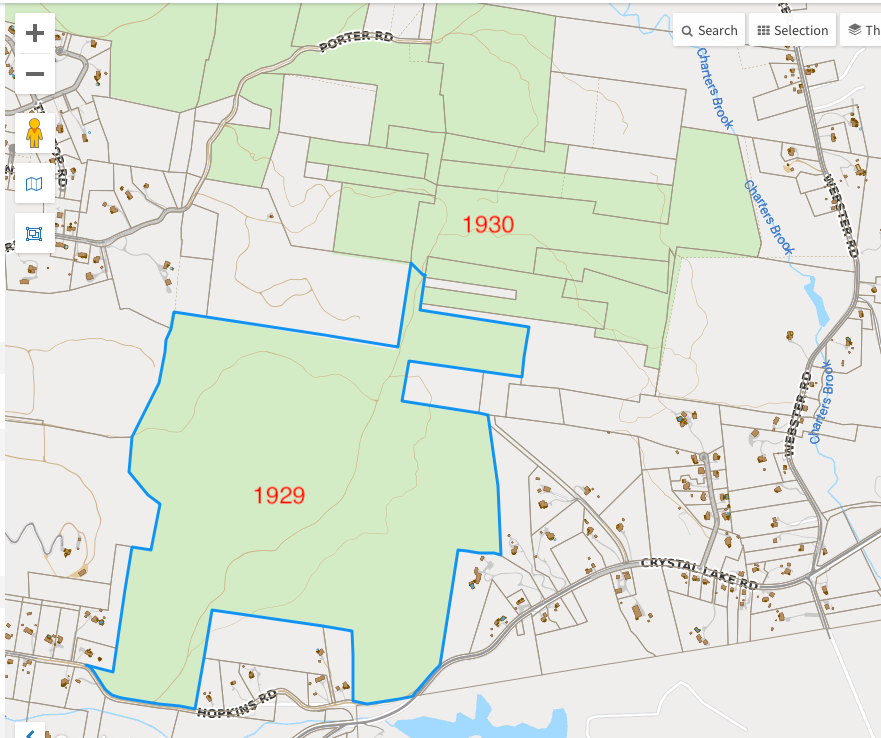
The first parcel of State Forest you'd hit coming in this way was purchase in the 1932; maybe this was the access until the two top parcels were purchased in the 2000s and allowed the lower road to be closed and access is now from the north to the state land?
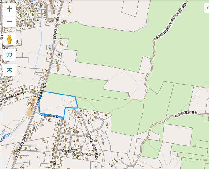
However, the DOT Official Town Highway maps show it as a State Forest Road all the way!?
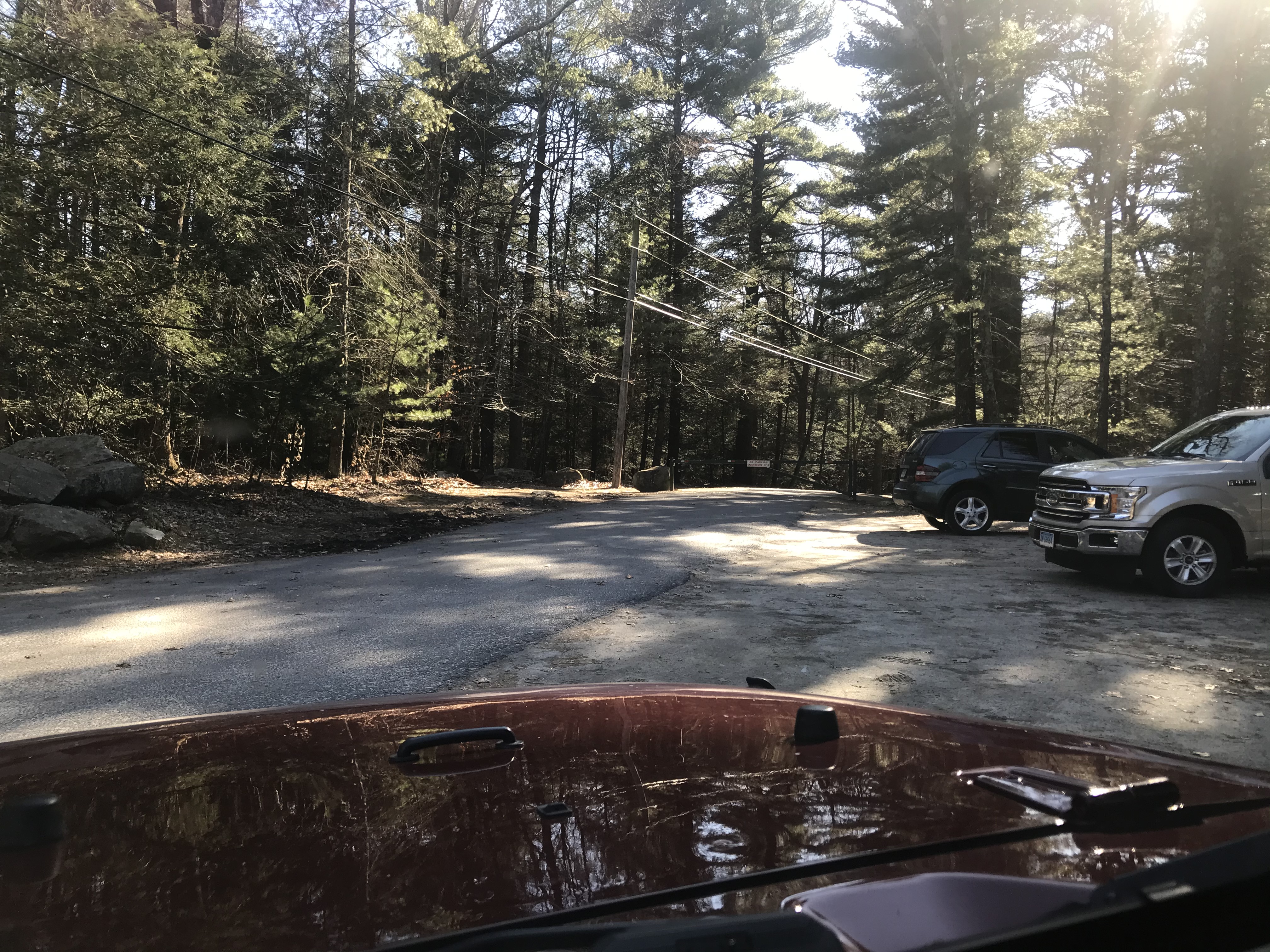
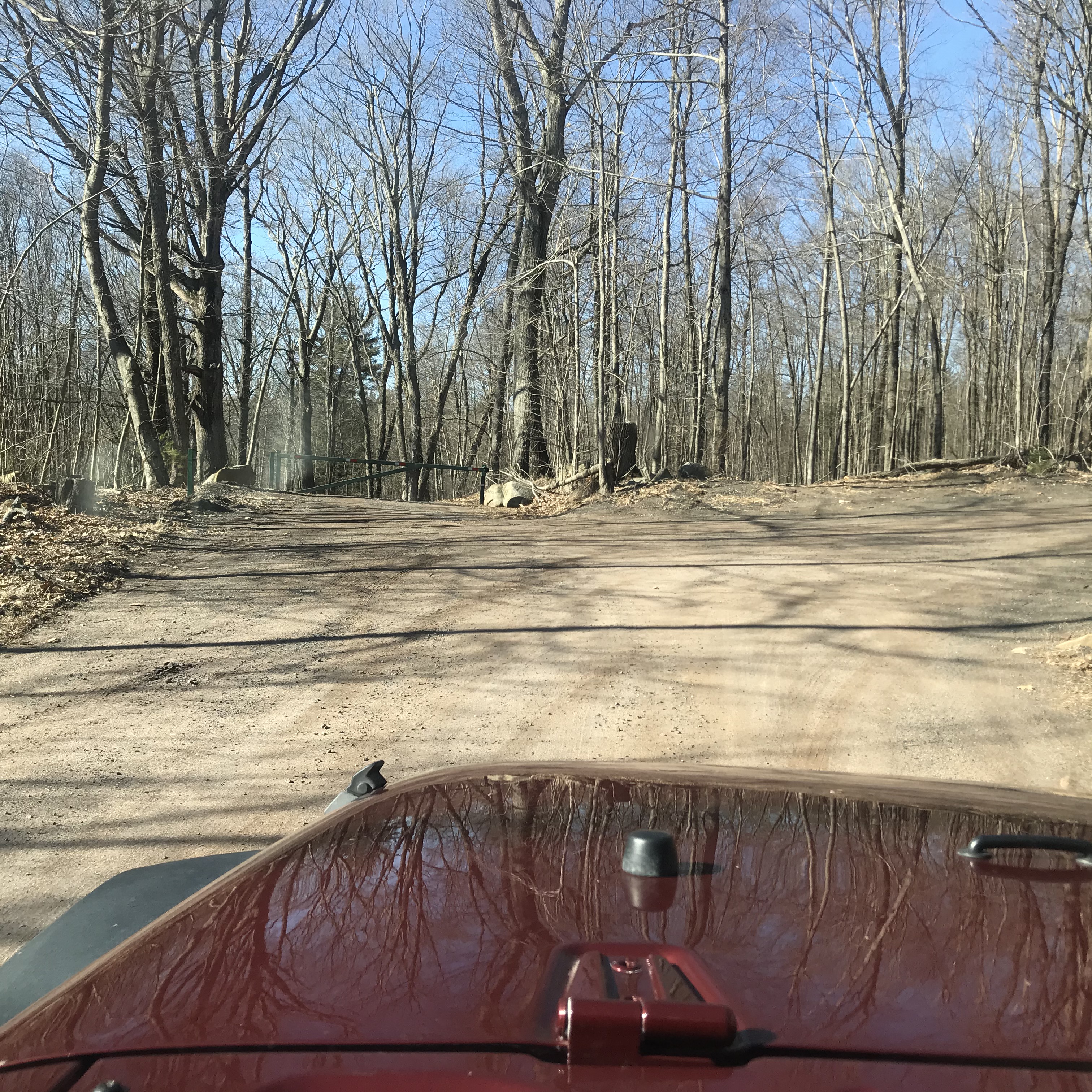
Where Parker Road (northeast corner of the last map above) is locked for mud season.
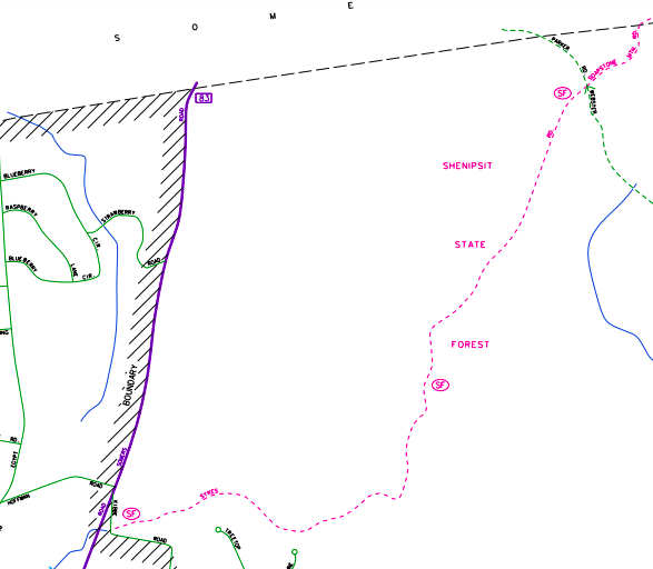
The road to Soapstone Fire Tower, which continues on and comes out as the State Forest road in the northeast corner of the map above. I'll have to come back in summer to see if I can continue straight onto "Sykes" road (I've taken the left onto Webster before).
Gate north of Soapstone, leading to 190, closed for mud season.
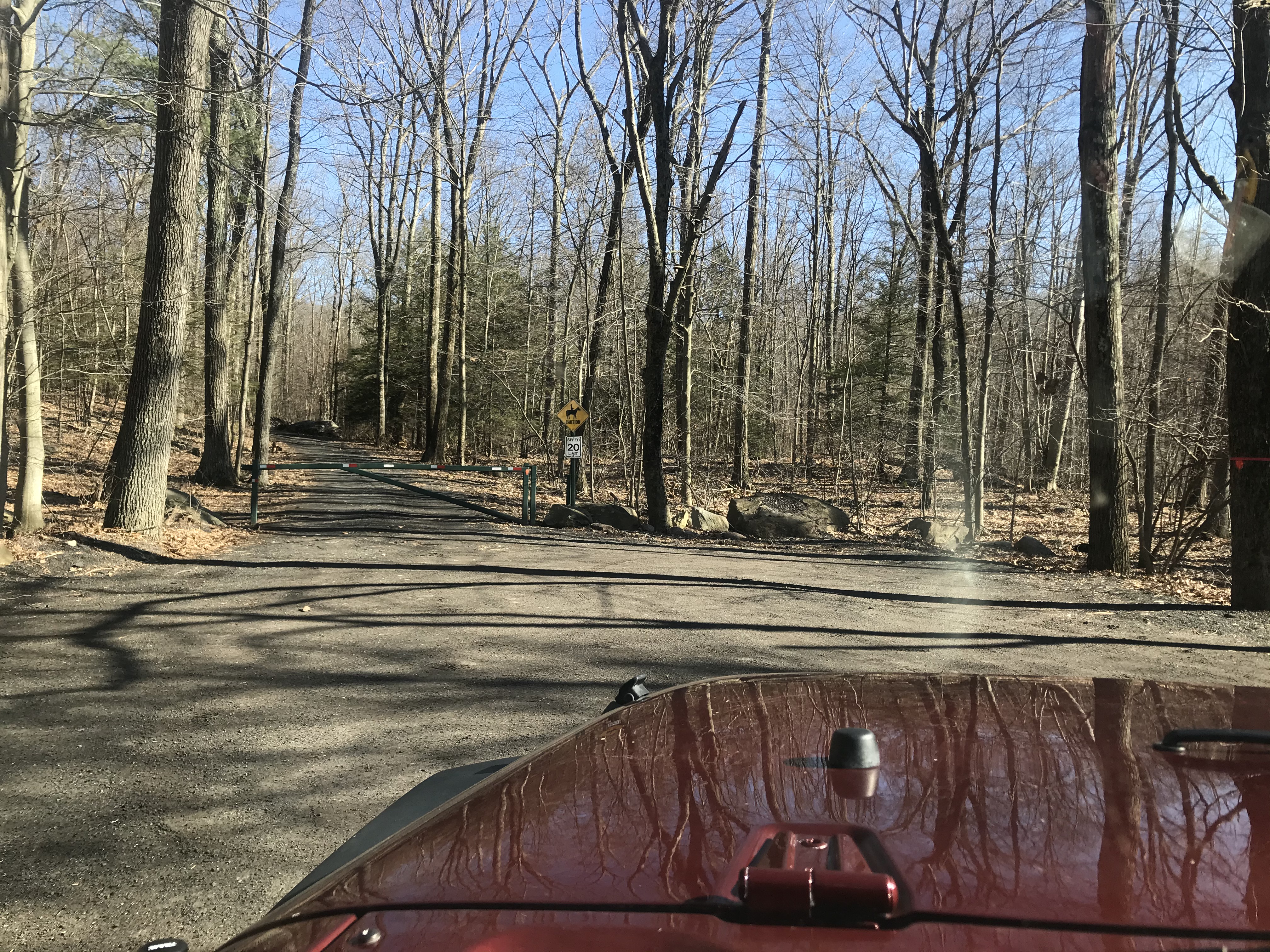
Webster Road gate (south side of the intersection at the northeast corner of the map above)
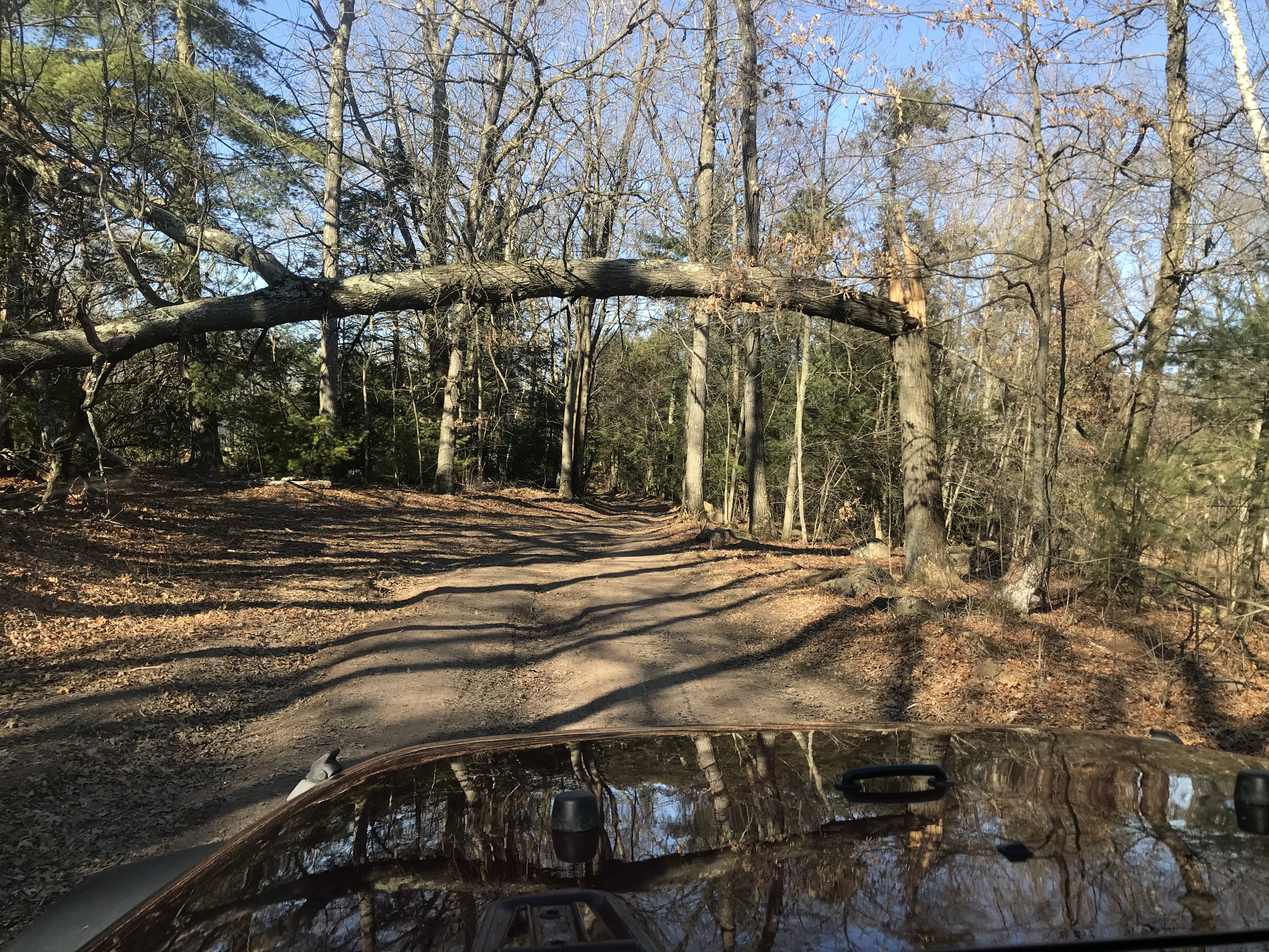
Looks like the locals have built and are maintaining a bypass given the chainsawed trunk :D
...and now for the west side of town.
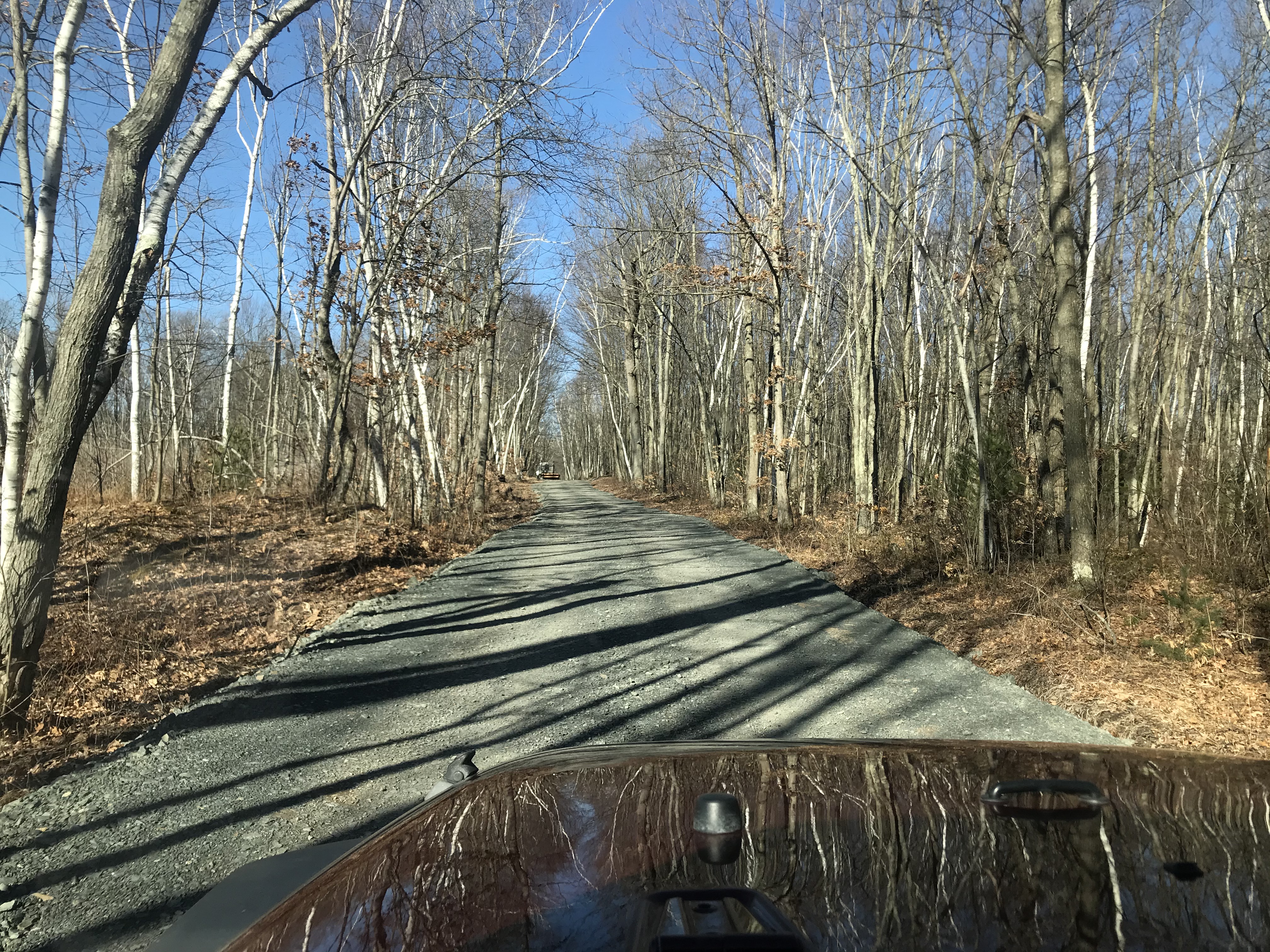
Looks like someone is giving the road some love...
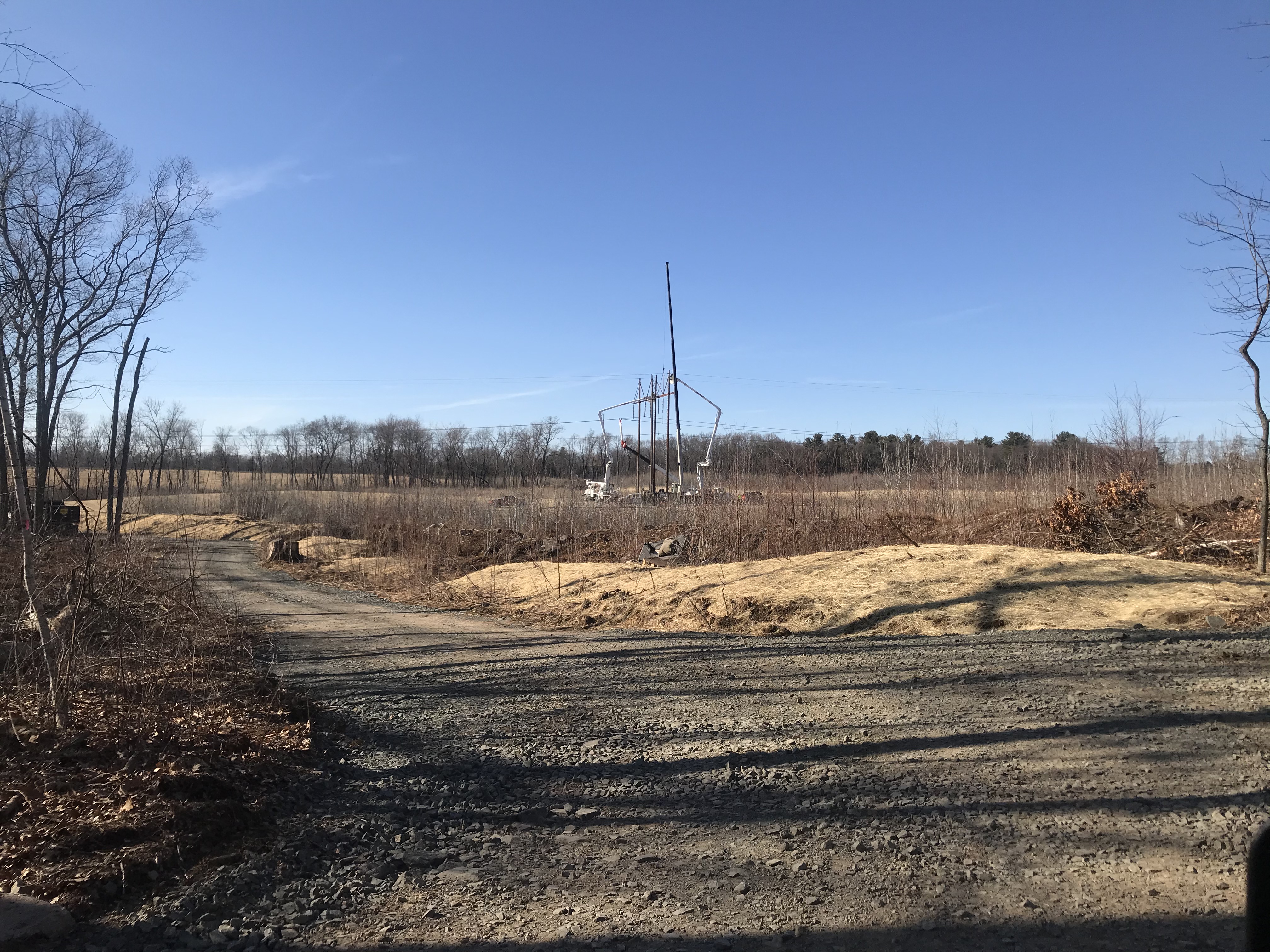
Was trying to figure this out...it's a model aircraft club!

Ah, and this would be whose giving the road love!
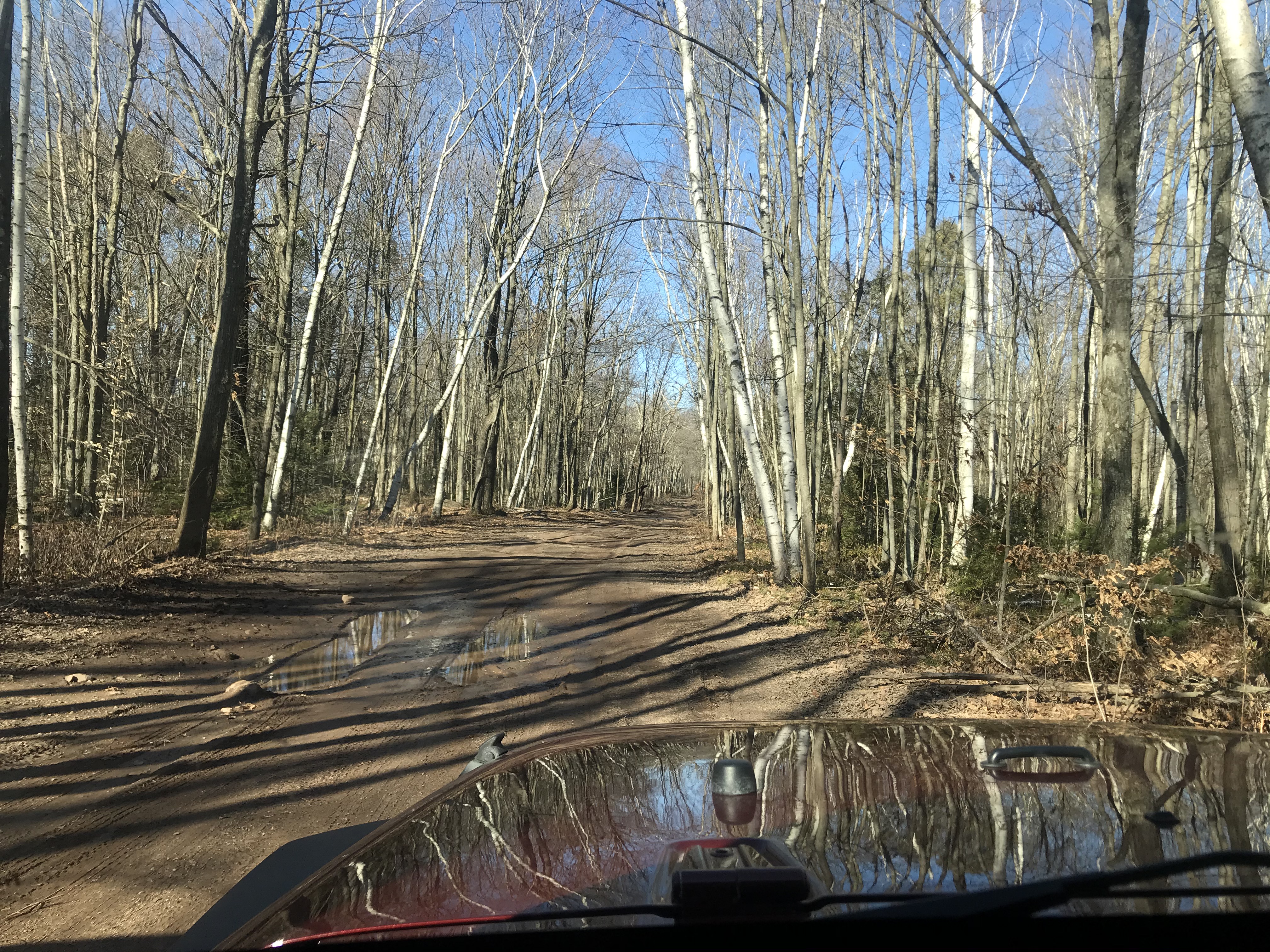
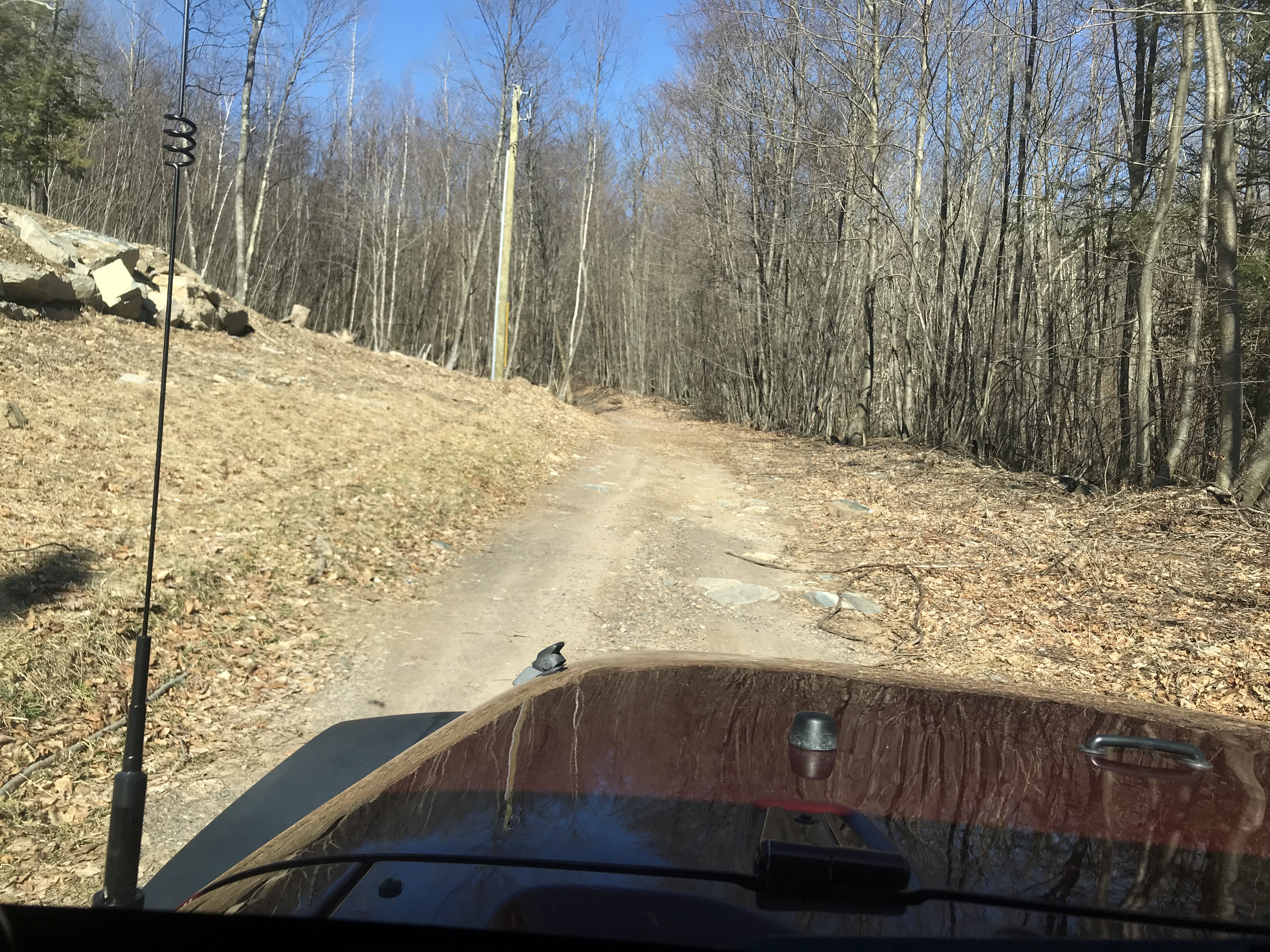
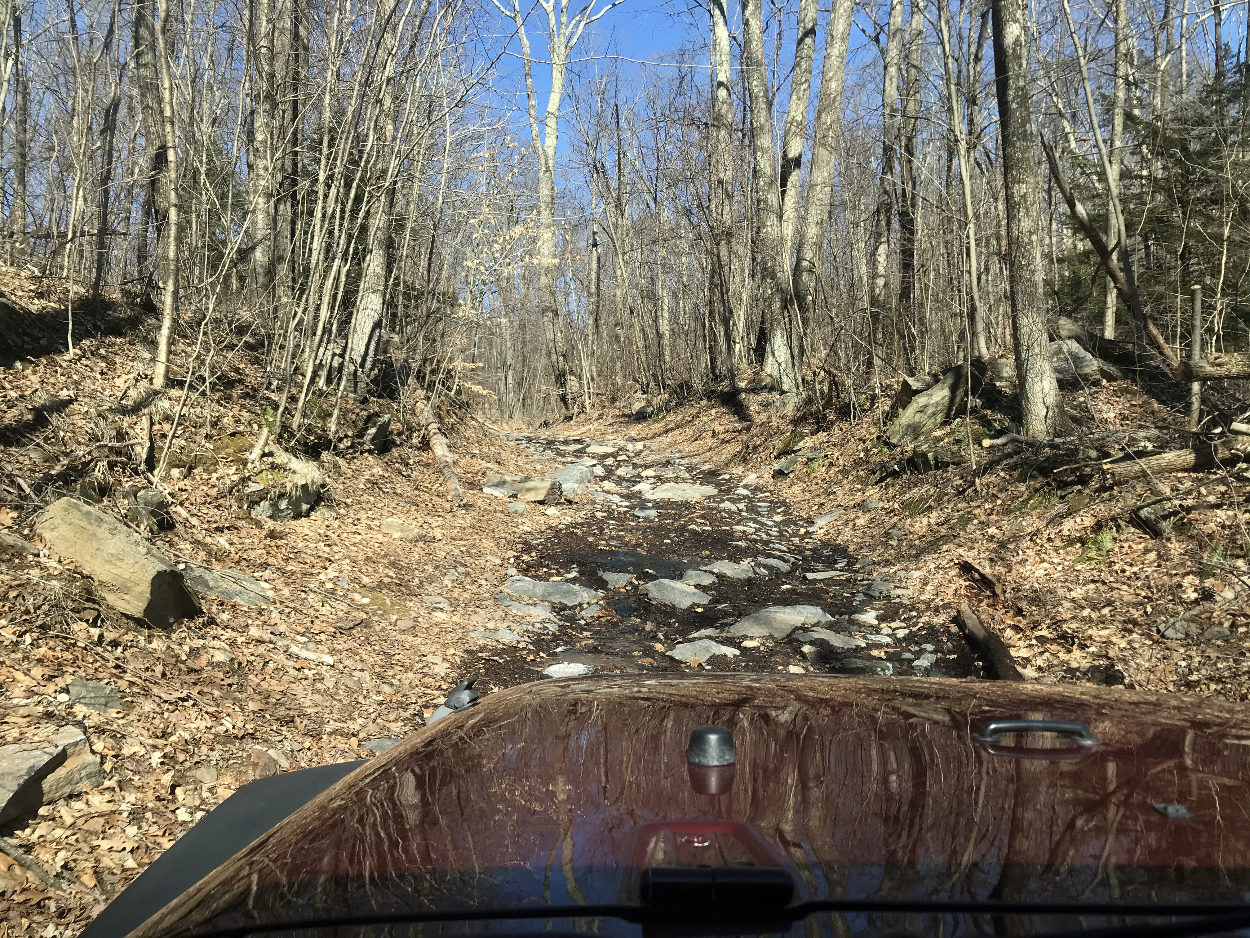
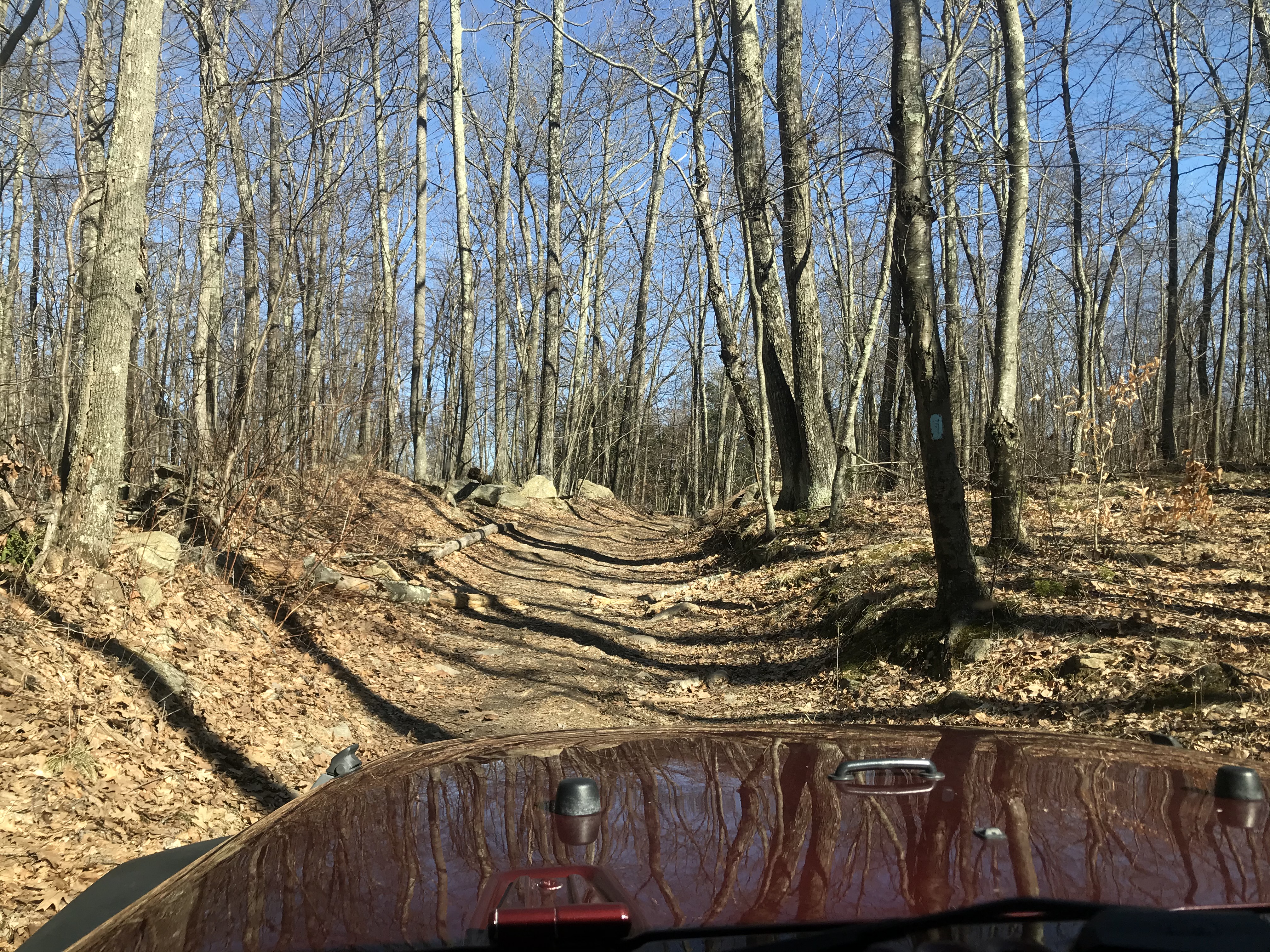
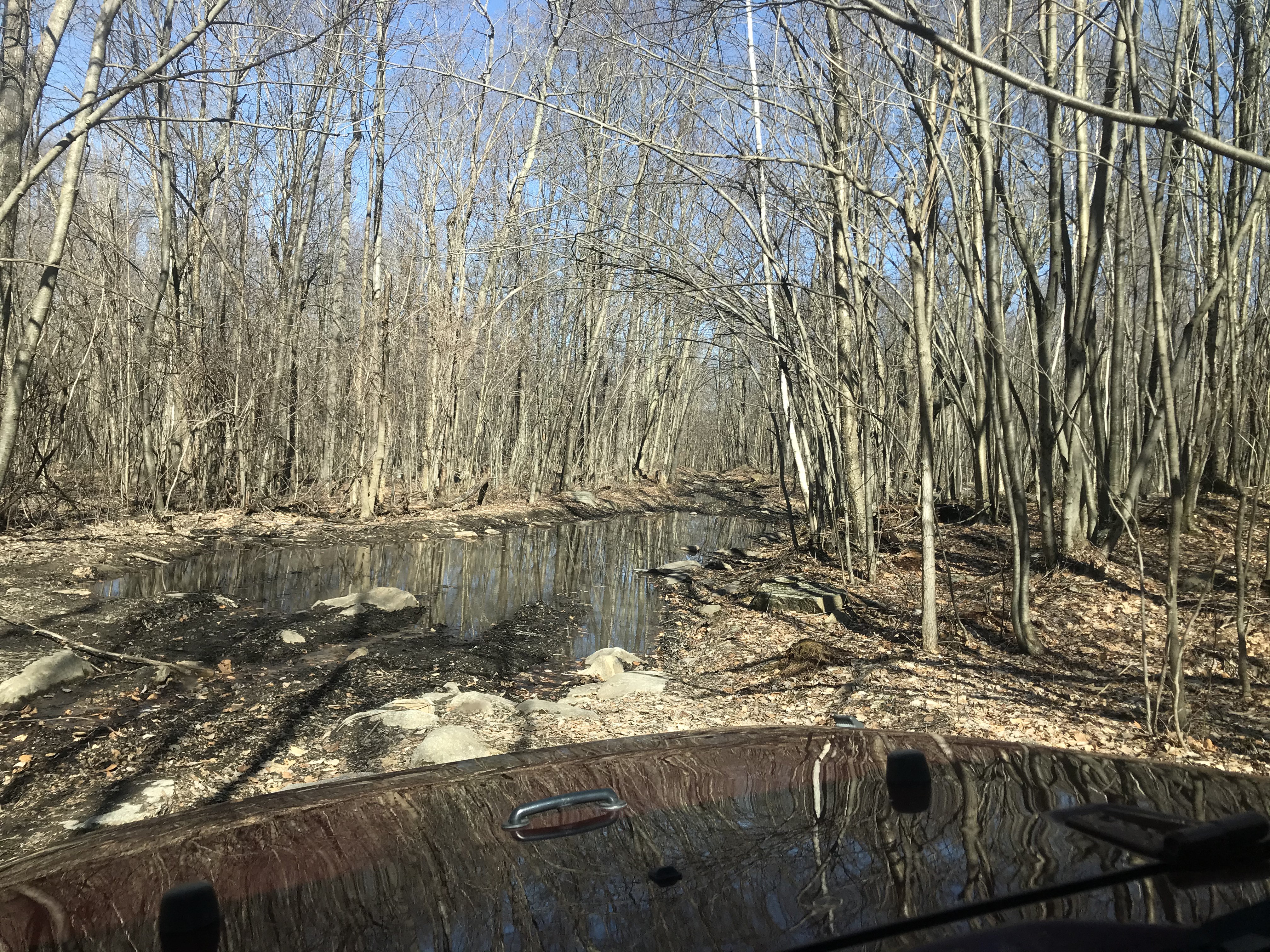
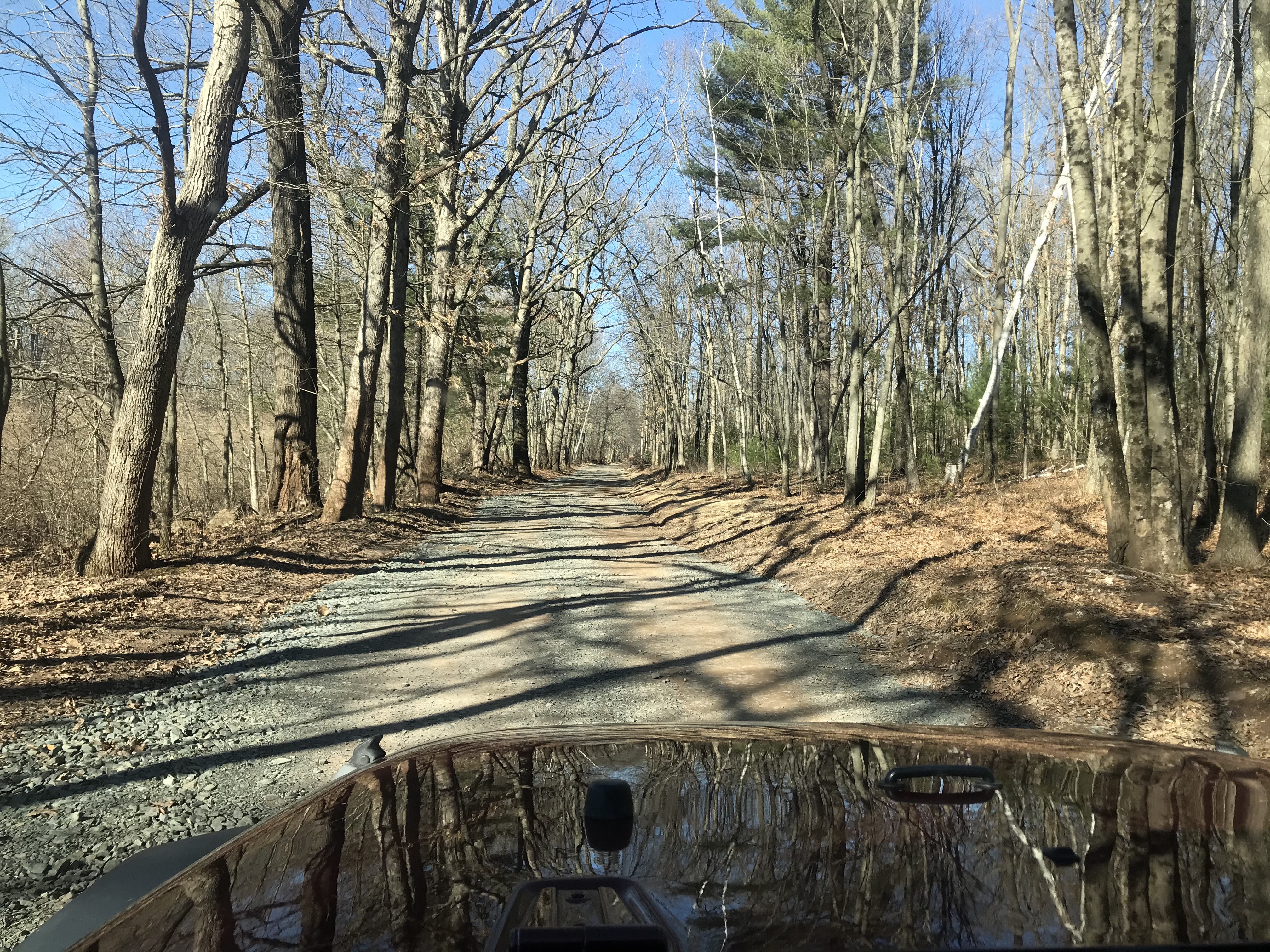
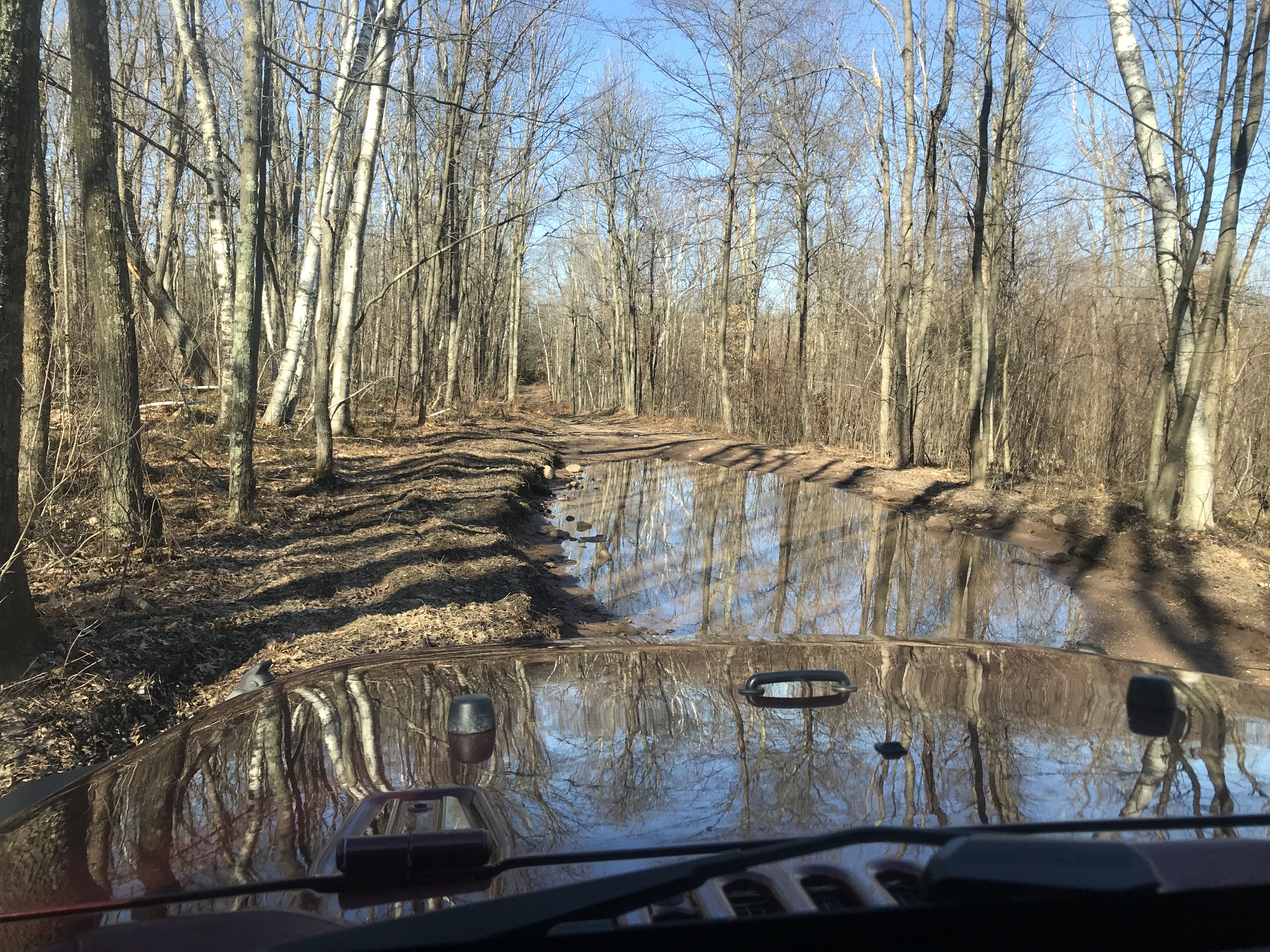
Well, I can't quite squeeze on the left without risking the bank collapsing. But there are no big stones on this road, and it is quite well drained despite the puddle...not miring mud here.
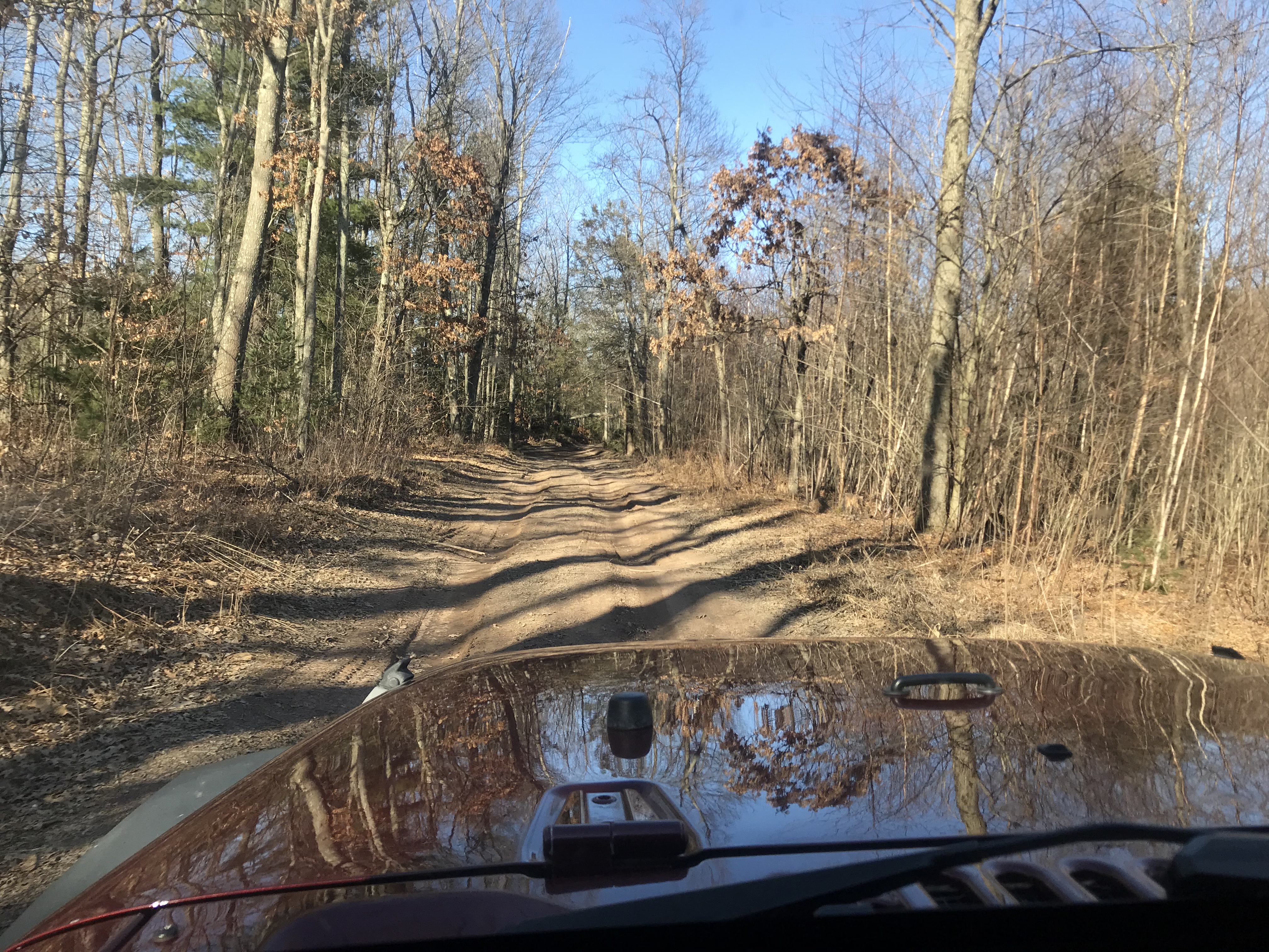
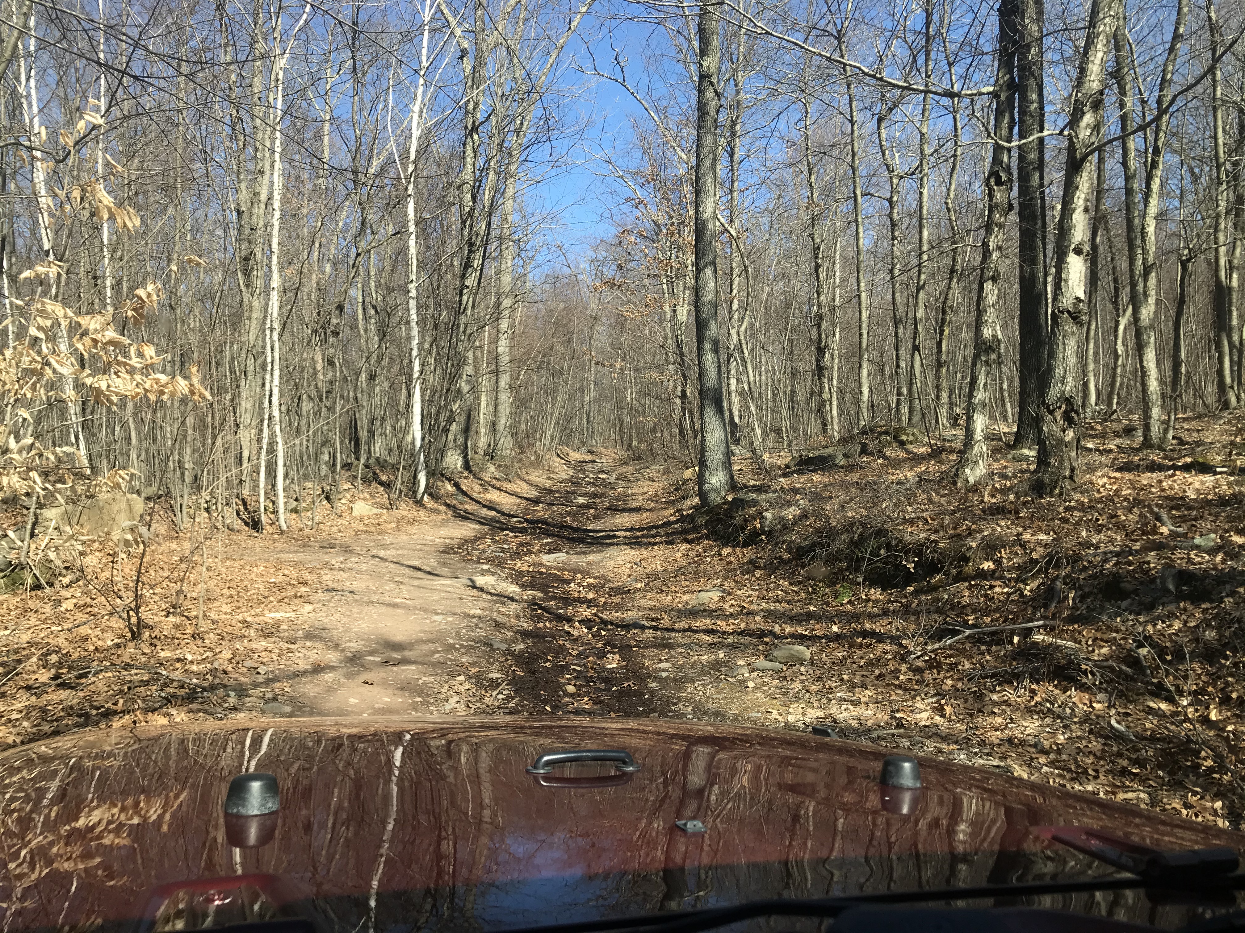
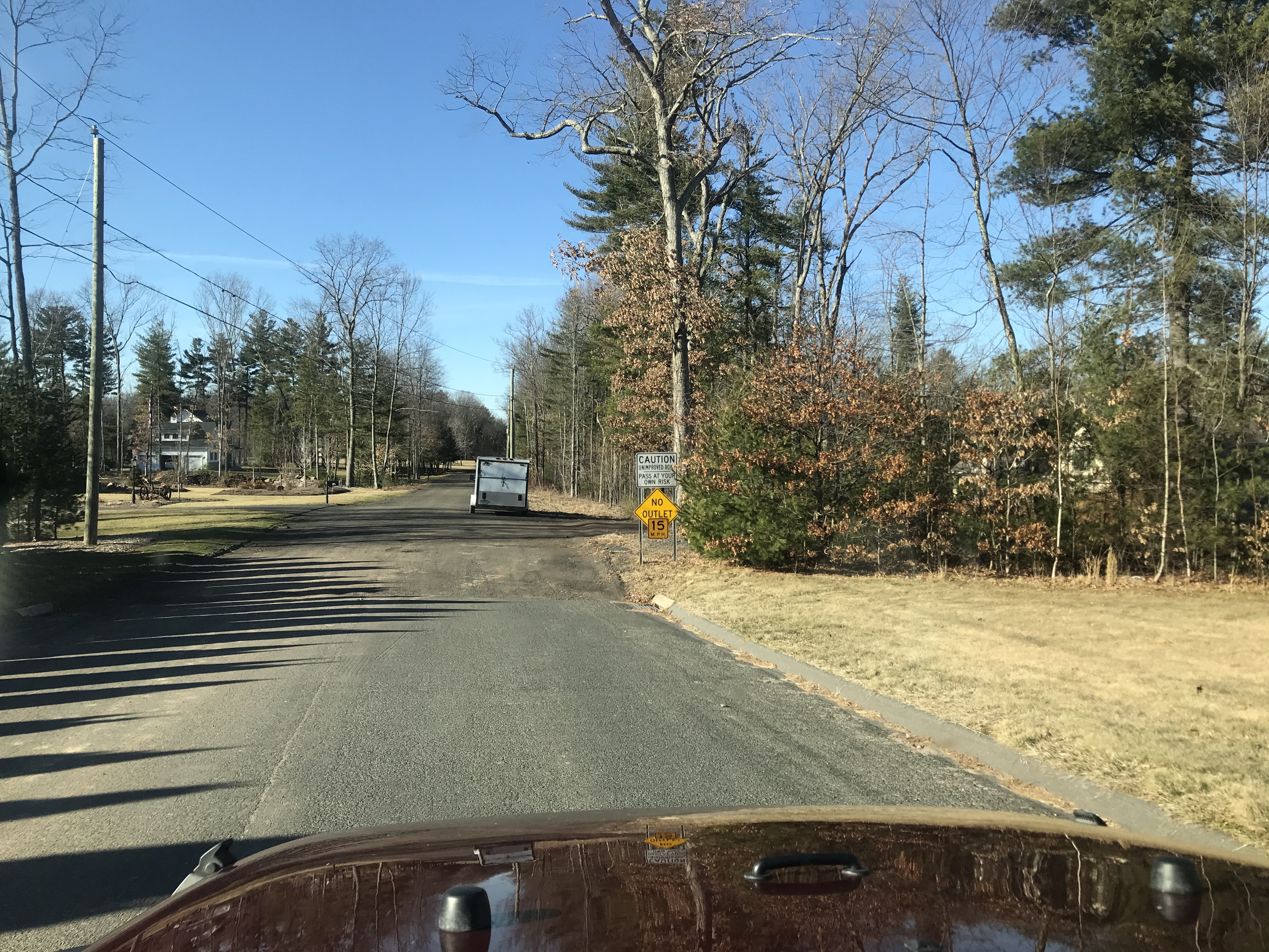
Not sure if I'm happy the gate is opened or not...wouldn't have minded having to turn around and doing this easy road again :)
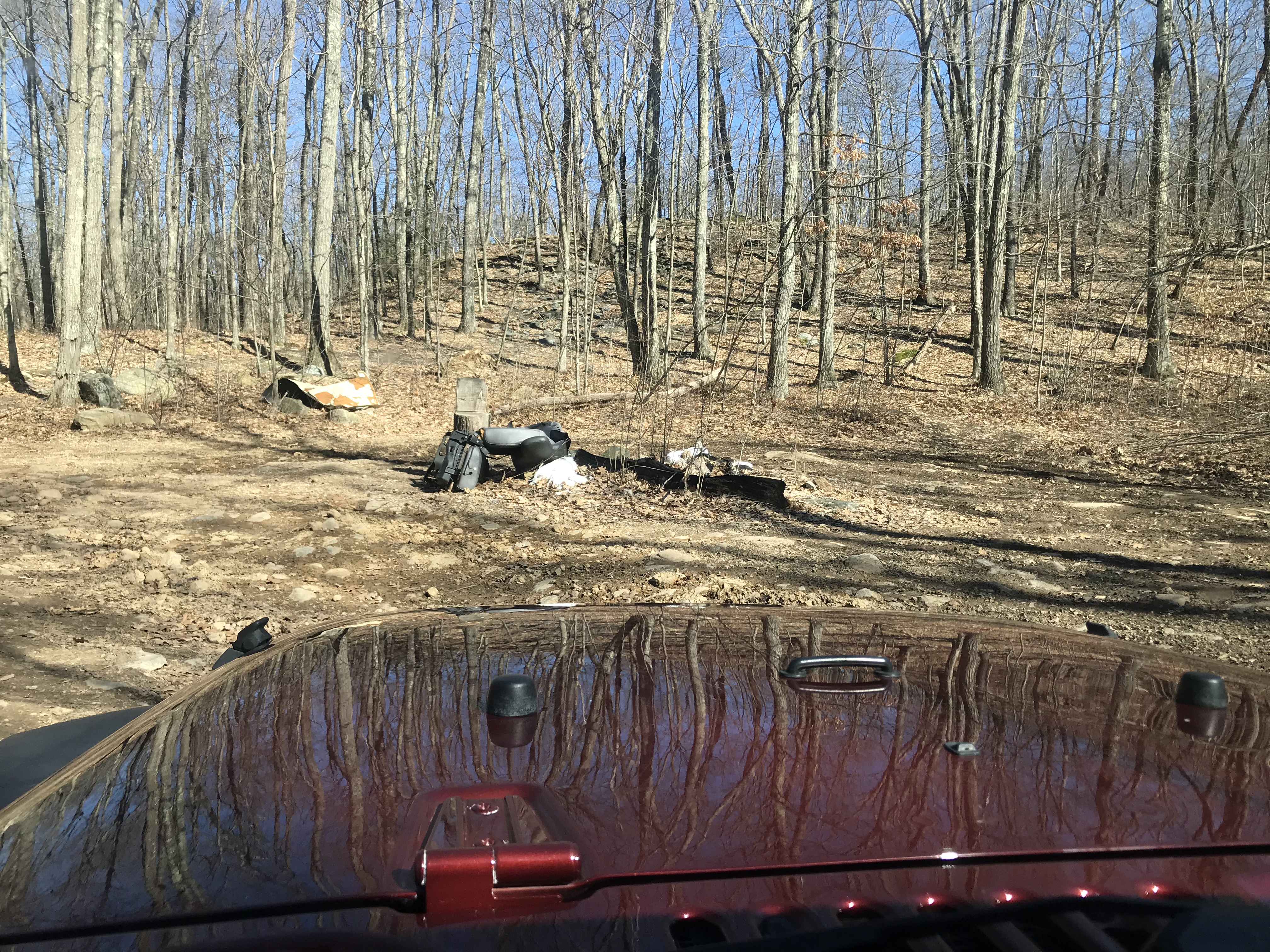
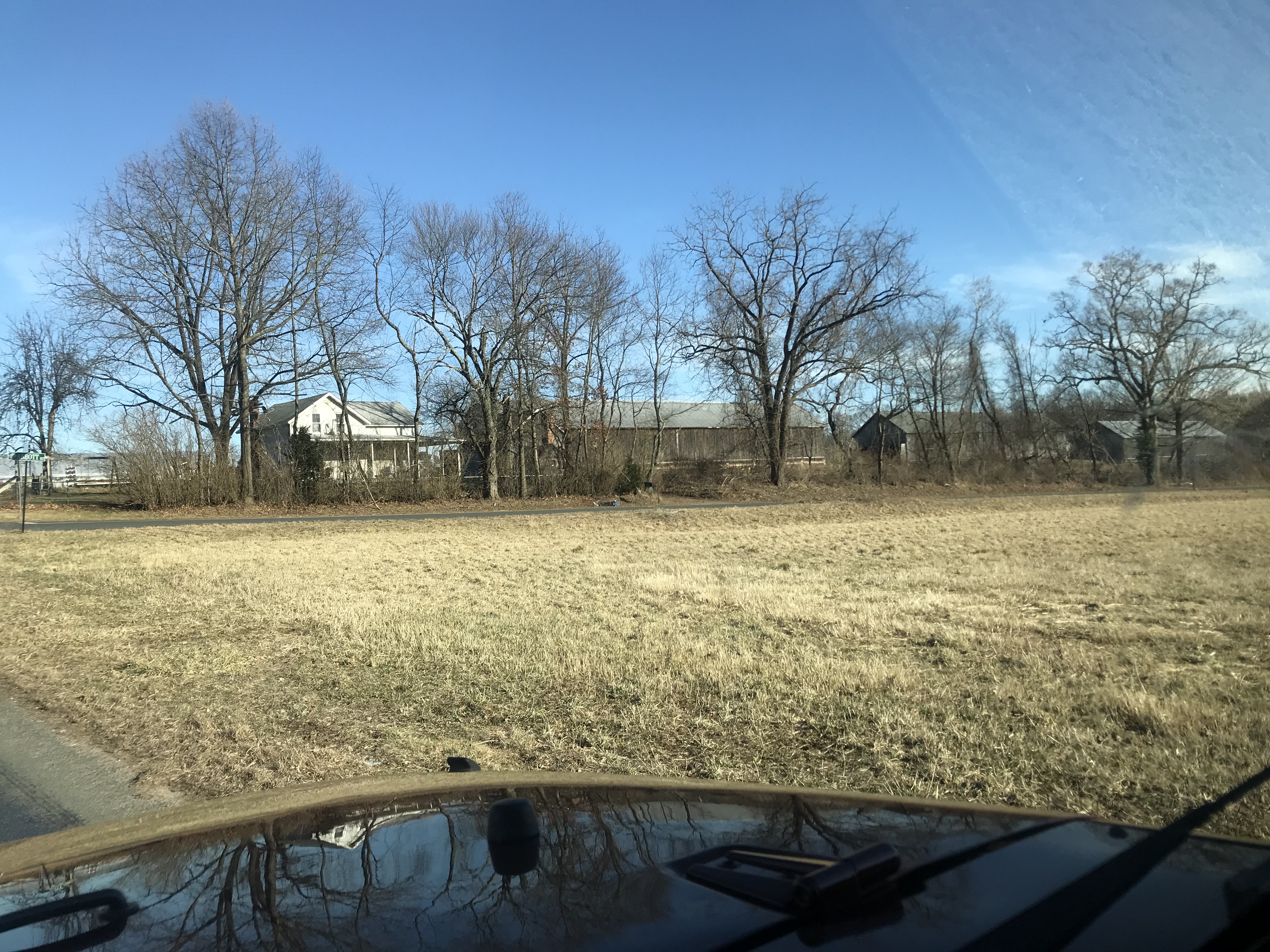
Tobacco Barns!
So the assessor maps still show a ROW going through here. Doesn't look like it's been blocked much more than 10, maybe 15 years.

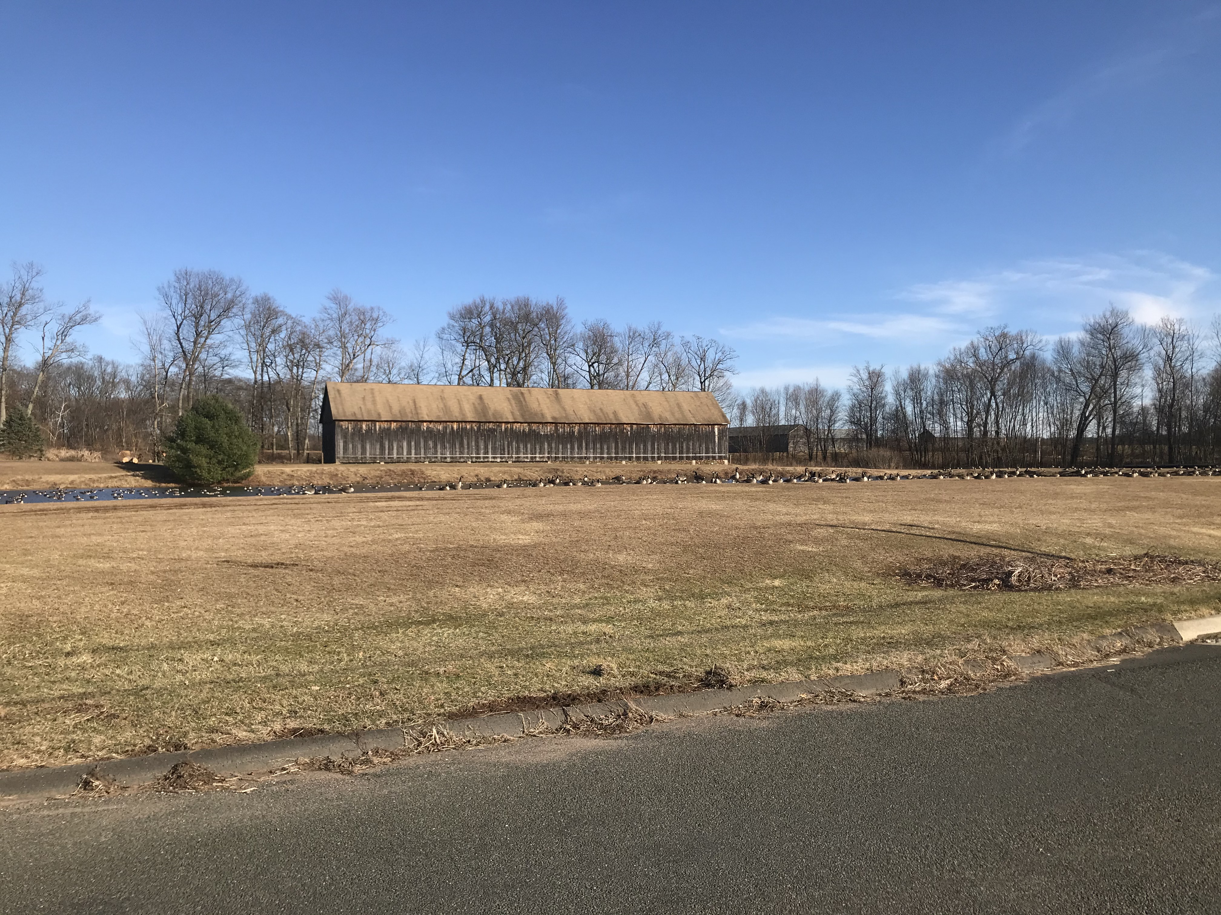
Holy Geese Batman!
Hmmm, didn't upload the photo of the gate -- but here's the bypass. Looks like you could fit a two door jeep through.
I wonder if this road was opened until more of the in-holdings were bought by the state. Two big parcels in 1929 & 30. The rest after 2000. It's interesting to me that of the assessor maps I posted, the "old" parcels were 29, 30, and 32 -- well before the CCC was formed in '33 and the local camp established in '35. But then pretty much nothing more purchased until the 2000s.
No comments:
Post a Comment